Uphill
162m
Length
7km
Duration
2h
Elev gain
162m
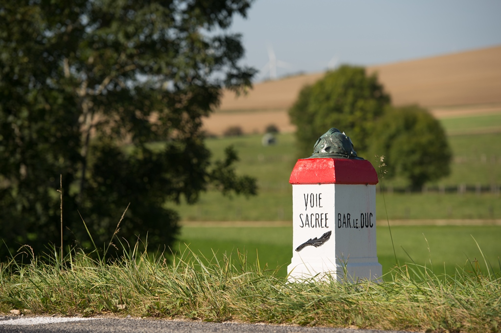
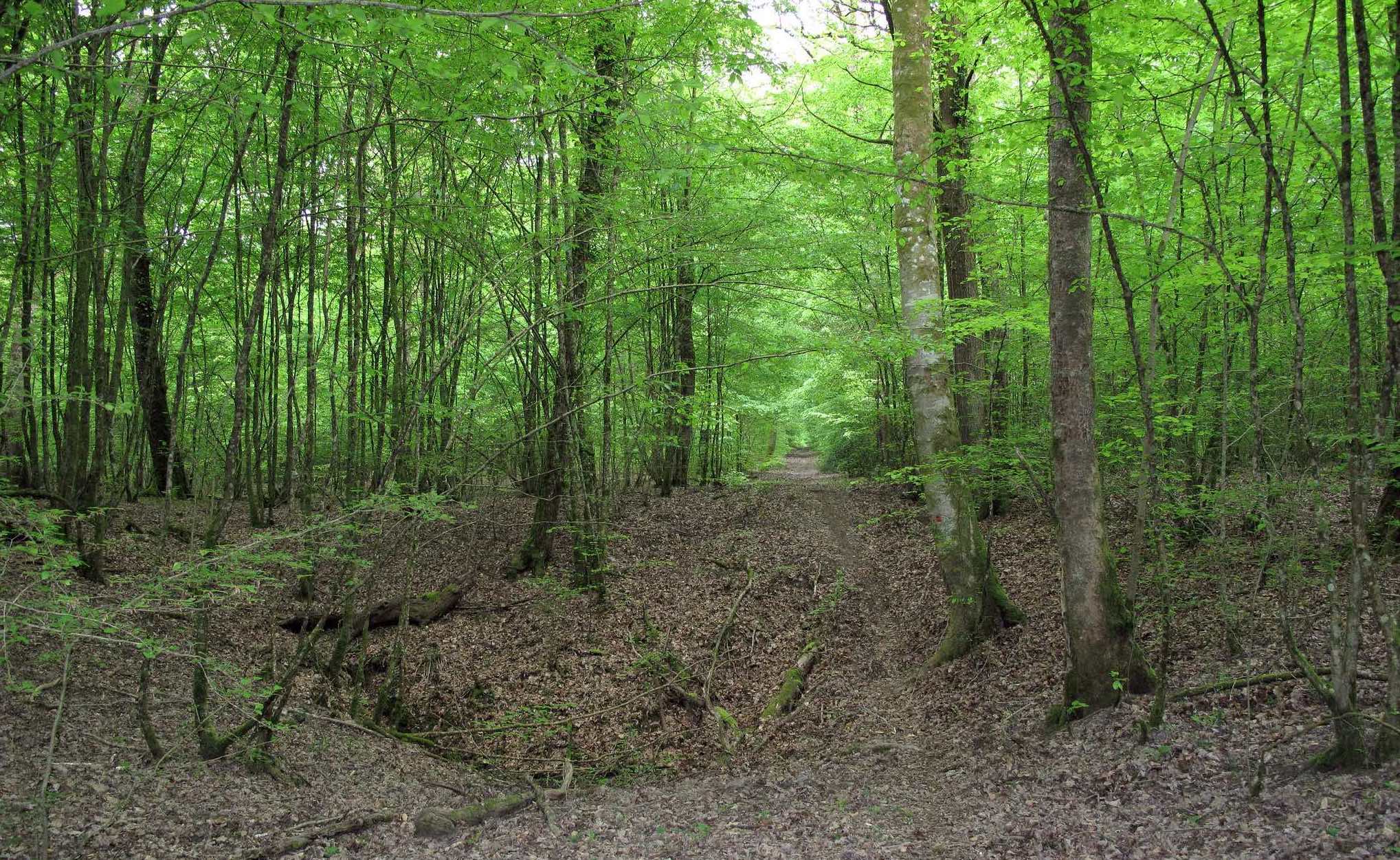
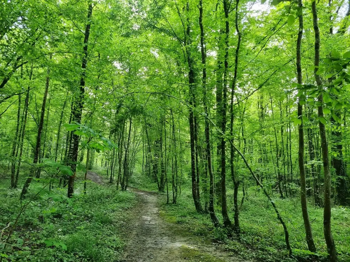
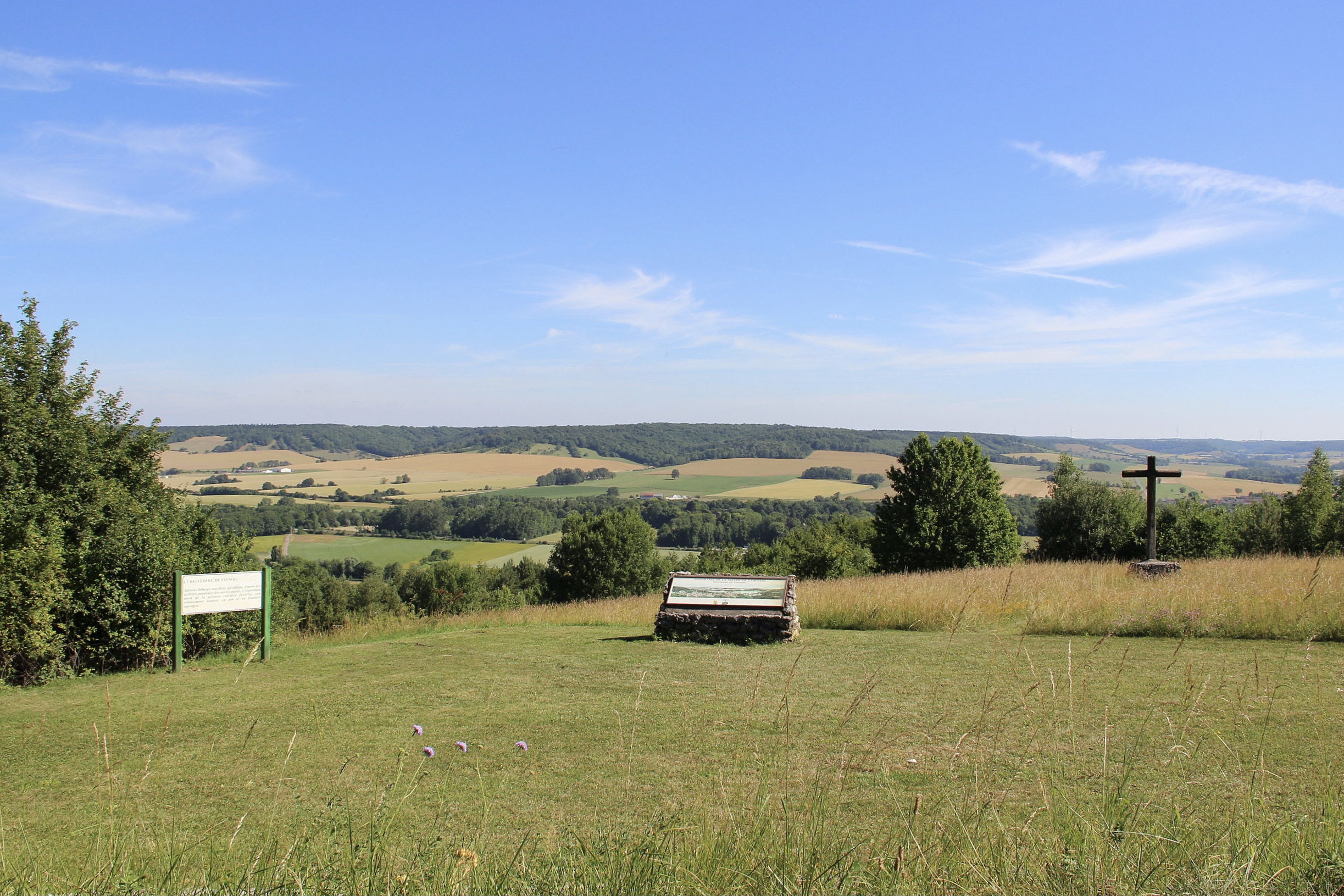
Departing from Tannois, this hike makes a nice loop between the Marne-Rhine canal and the Bohanne woods. The route passes by the belvedere of Tannois, from where the view of the Ornain valley is stunning, then continues towards the starting point in order to finish this hike.

Already more than 200,000 users!
Uphill
162m
Highest point
352m
Downhill
162m
Lowest point
191m
Route type
Loop
Download the map on your smartphone to save battery and rest assured to always keep access to the route, even without signal.
Includes IGN France and Swisstopo.
I indicate whether dogs are allowed or prohibited on this trail
All year
0 ratings
Also enjoy:

Already more than 200,000 users!