Uphill
223m
Length
13km
Duration
4h
Elev gain
223m
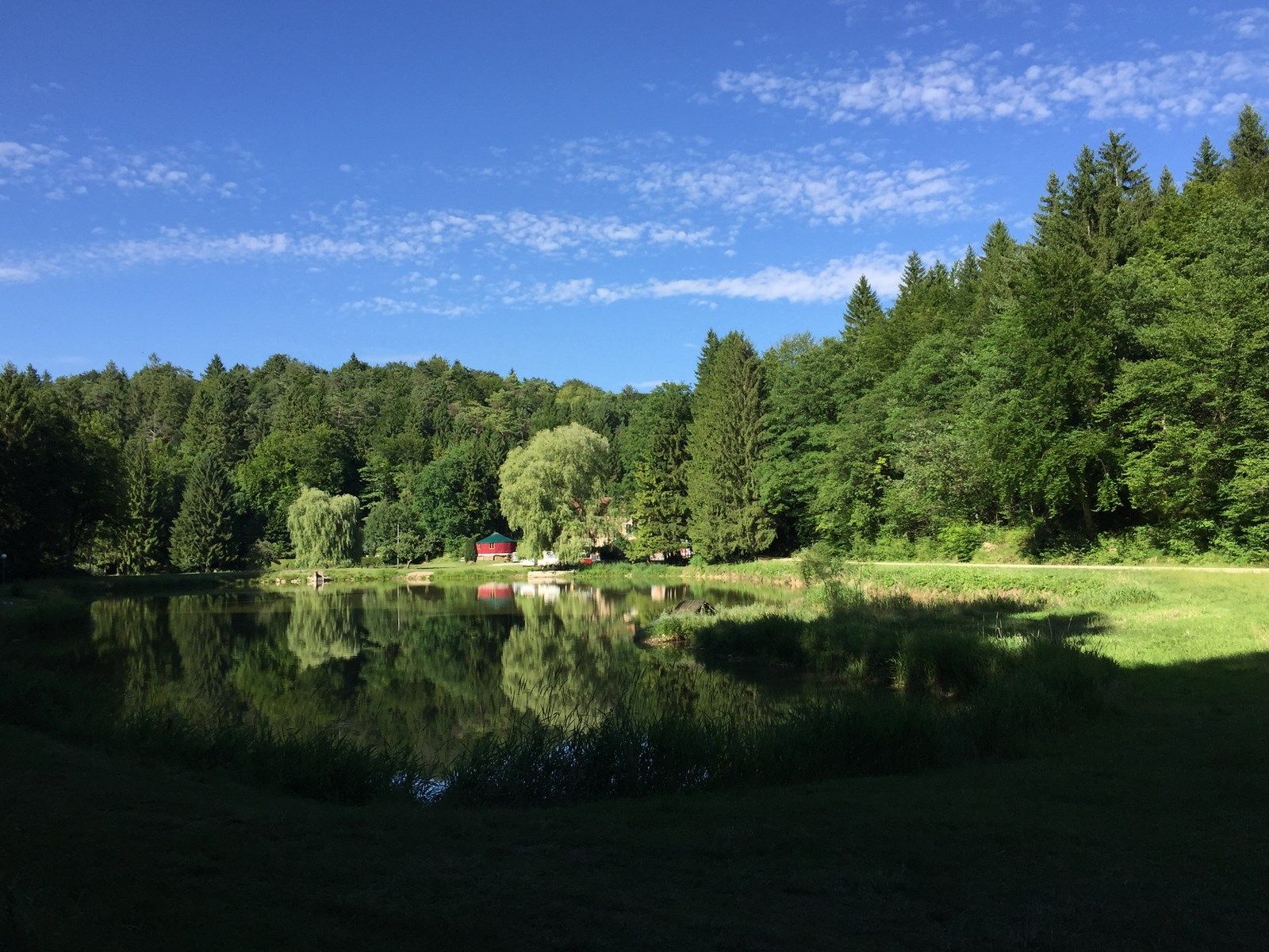
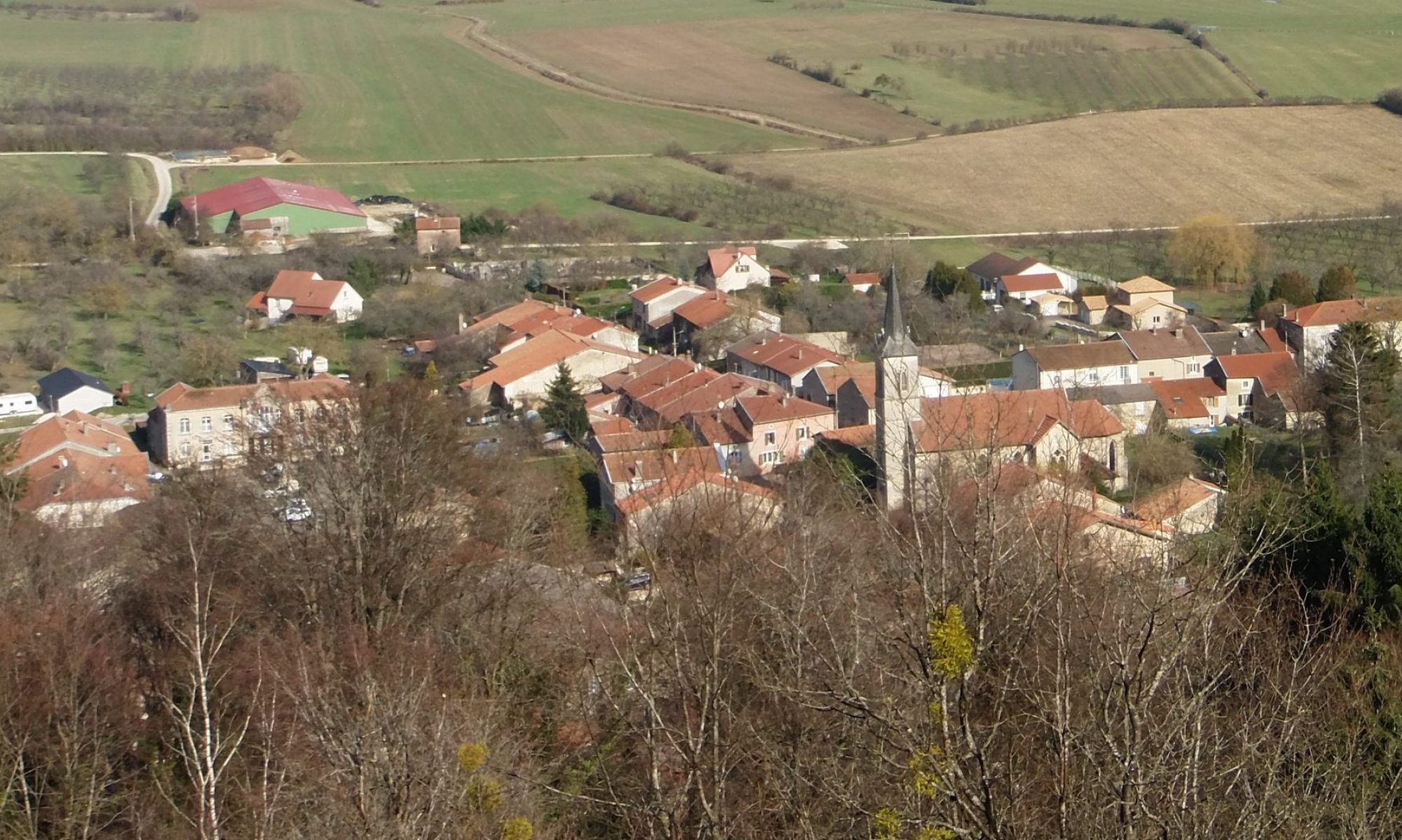
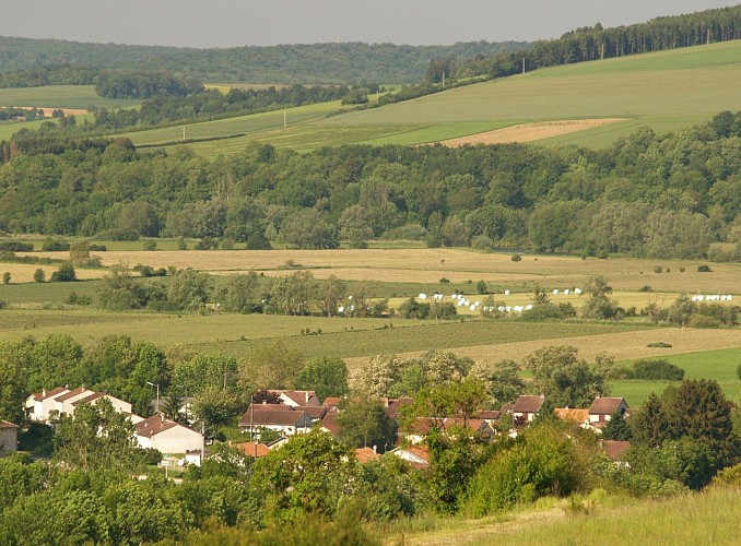
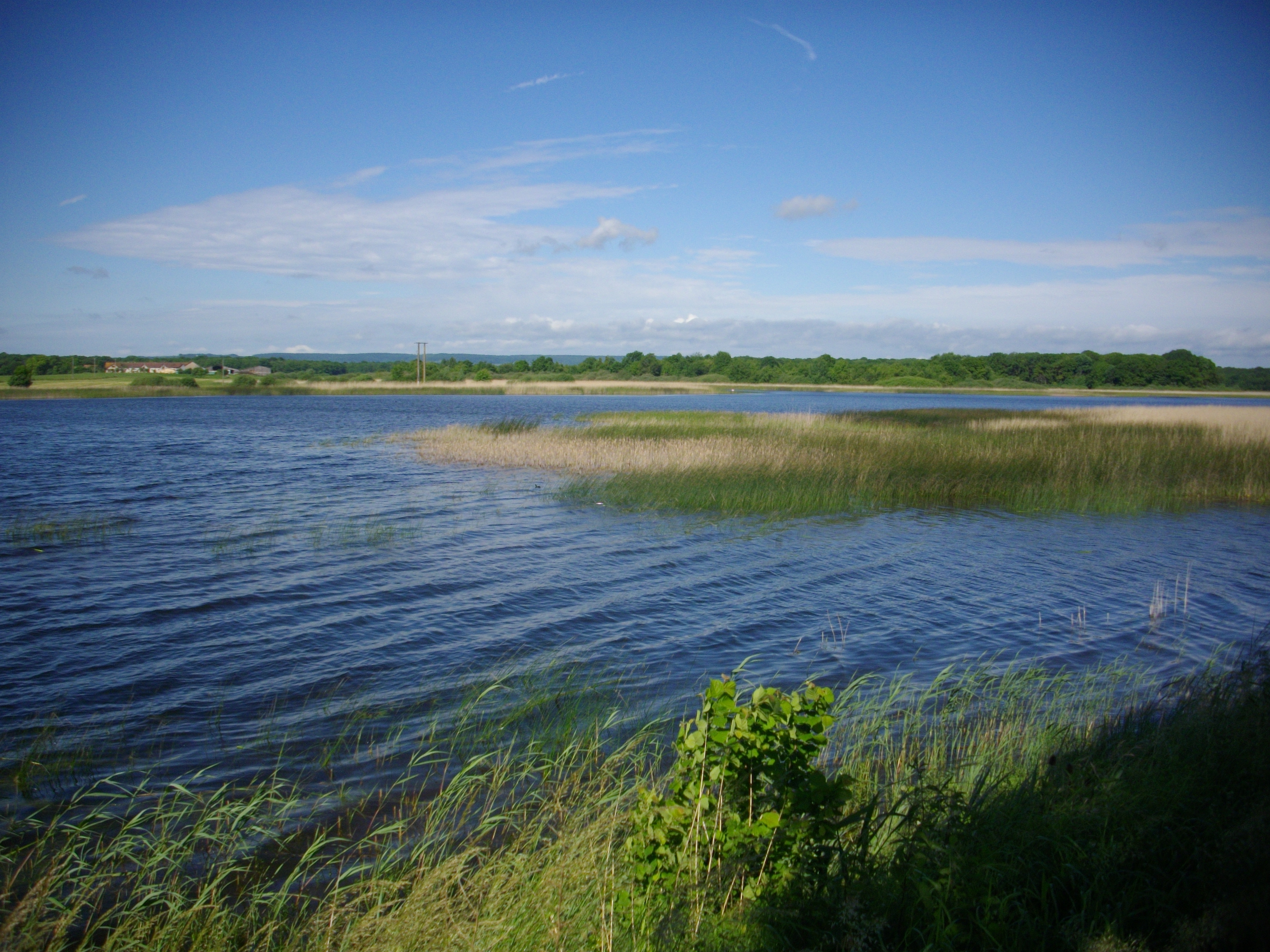
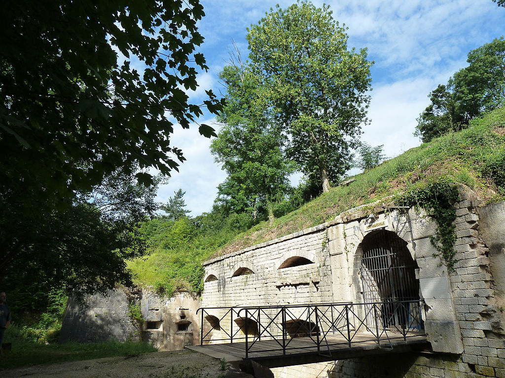
Here is a nice hike around Saint-Agnant-sous-les-Côtes. The route makes a loop and joins the fort of Liouville halfway before returning to the direction of the starting point.

Already more than 200,000 users!
Uphill
223m
Highest point
380m
Downhill
223m
Lowest point
252m
Route type
Loop
Download the map on your smartphone to save battery and rest assured to always keep access to the route, even without signal.
Includes IGN France and Swisstopo.
I indicate whether dogs are allowed or prohibited on this trail
All year
0 ratings
Also enjoy:

Already more than 200,000 users!