Uphill
243m

Length
20km
Duration
5h30min
Elev gain
243m
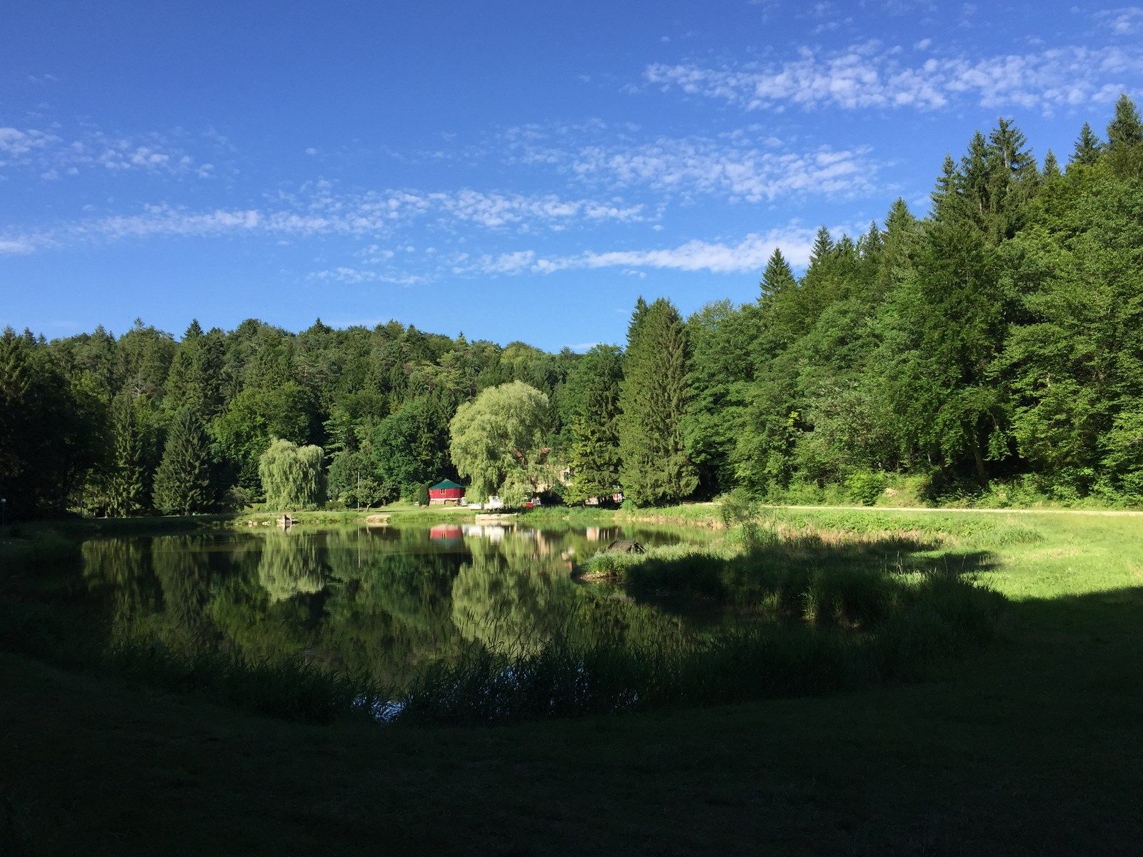
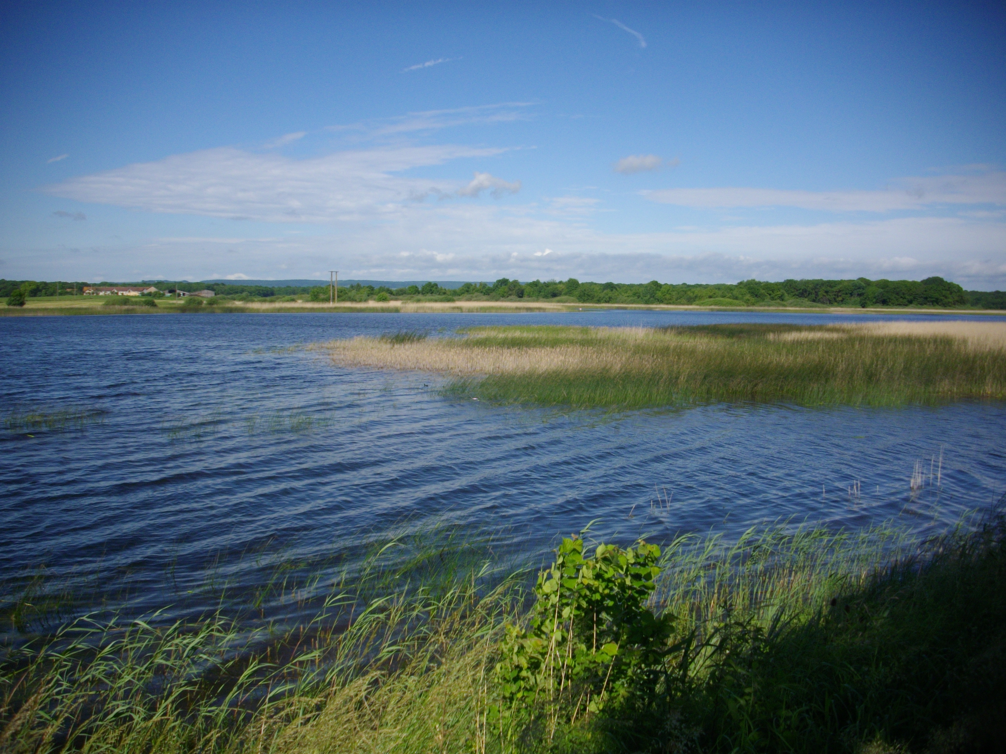
Loop trail around the Madine Lake, an artificial body of water that is part of the Lorraine Regional Natural Park.
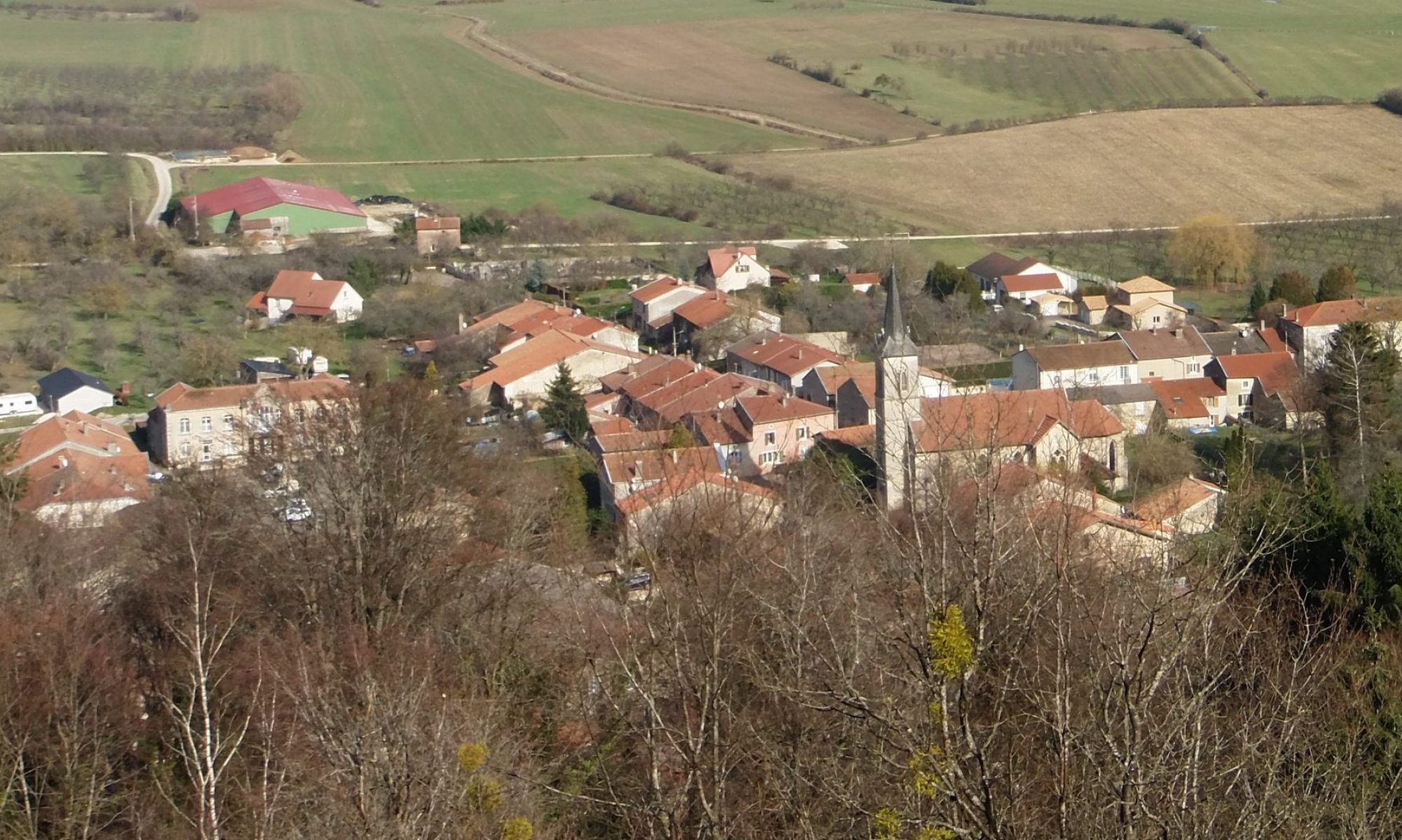
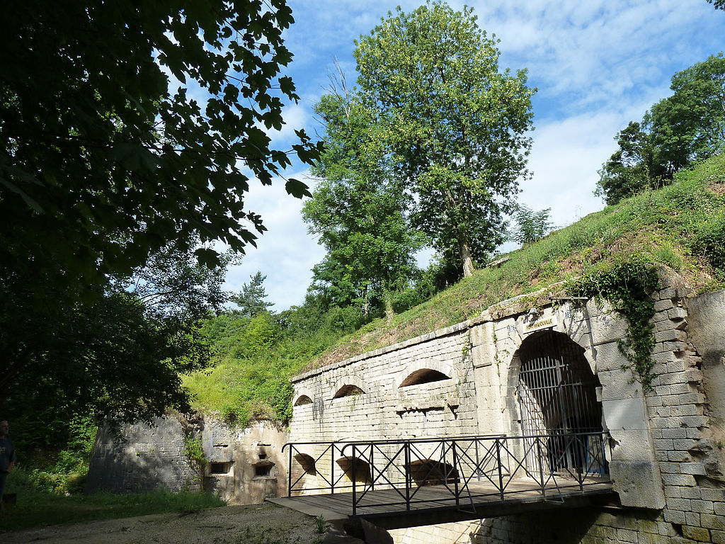
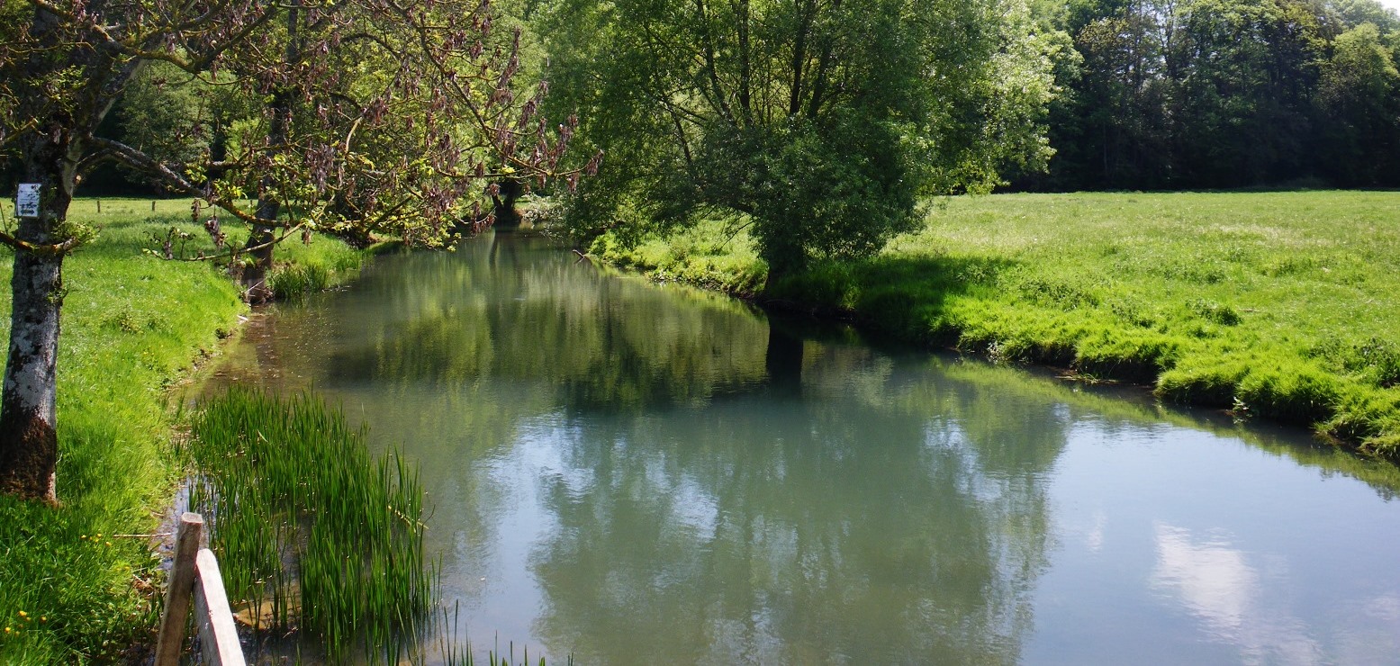
After leaving the nautical base, the landscapes become wild between forests and meadows. A detour by the hill of Montsec offers a nice panorama of the surroundings.
Note a short passage on the road.

Already more than 200,000 users!
Uphill
243m
Highest point
375m
Downhill
243m
Lowest point
195m
Route type
Loop
Download the map on your smartphone to save battery and rest assured to always keep access to the route, even without signal.
Includes IGN France and Swisstopo.
I indicate whether dogs are allowed or prohibited on this trail
All year
2 ratings
Also enjoy:

Already more than 200,000 users!