Uphill
88m
Length
13km
Duration
3h30min
Elev gain
88m
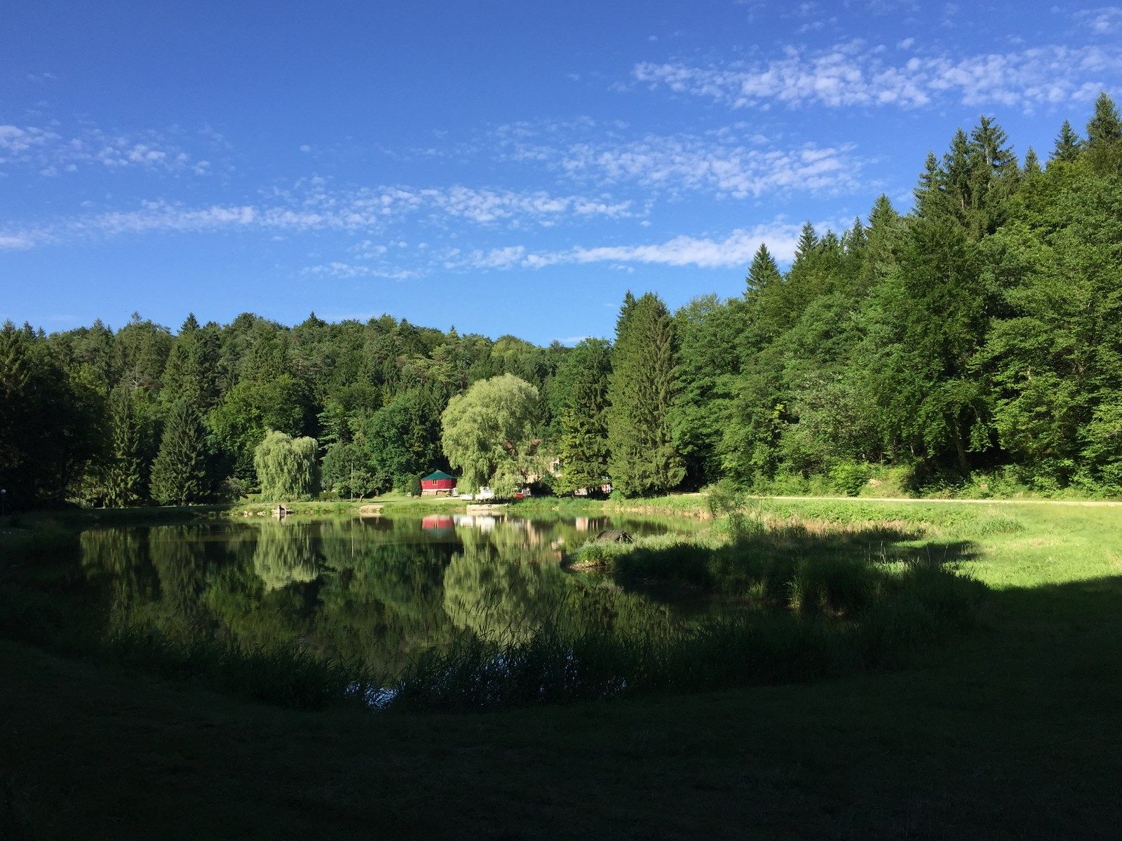
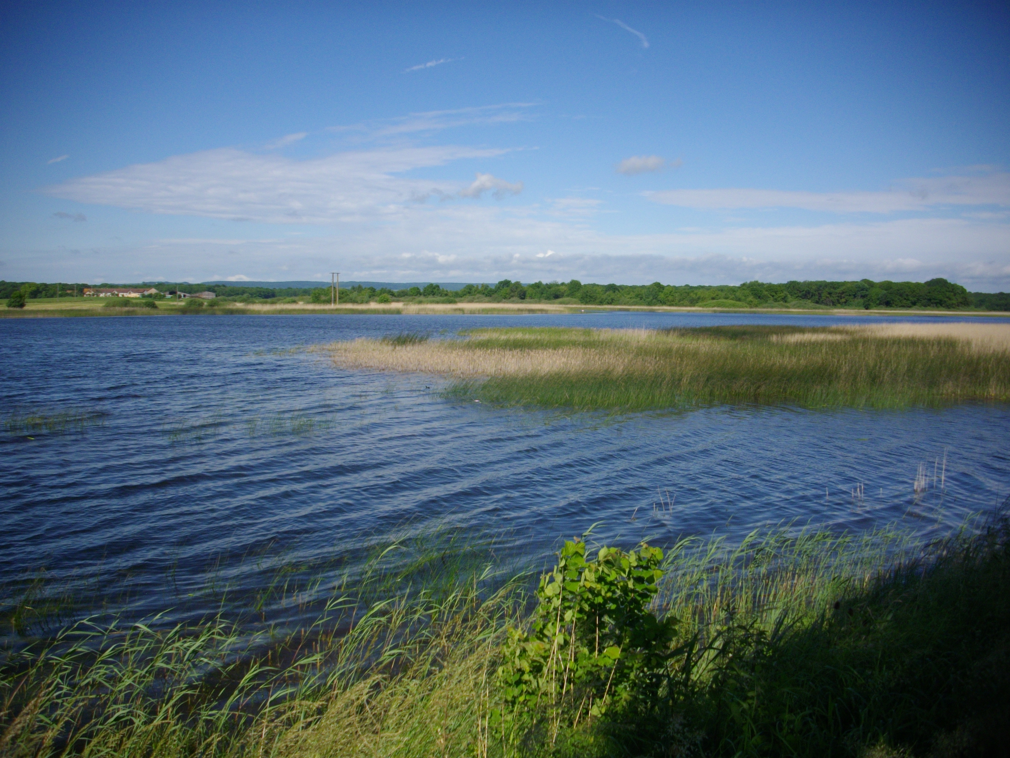
Here is a beautiful walk that will appeal to birdwatchers. The route goes around the pond of Lachaussée, an exceptional place punctuated by observatories which offer beautiful views of the birds. A true migratory corridor of choice for avifauna.
Note however that the last 4 kilometers are on the road.

Already more than 200,000 users!
Uphill
88m
Highest point
233m
Downhill
88m
Lowest point
198m
Route type
Loop
Download the map on your smartphone to save battery and rest assured to always keep access to the route, even without signal.
Includes IGN France and Swisstopo.
I indicate whether dogs are allowed or prohibited on this trail
All year
0 ratings
Also enjoy:

Already more than 200,000 users!