Uphill
205m
Length
8km
Duration
2h30min
Elev gain
205m
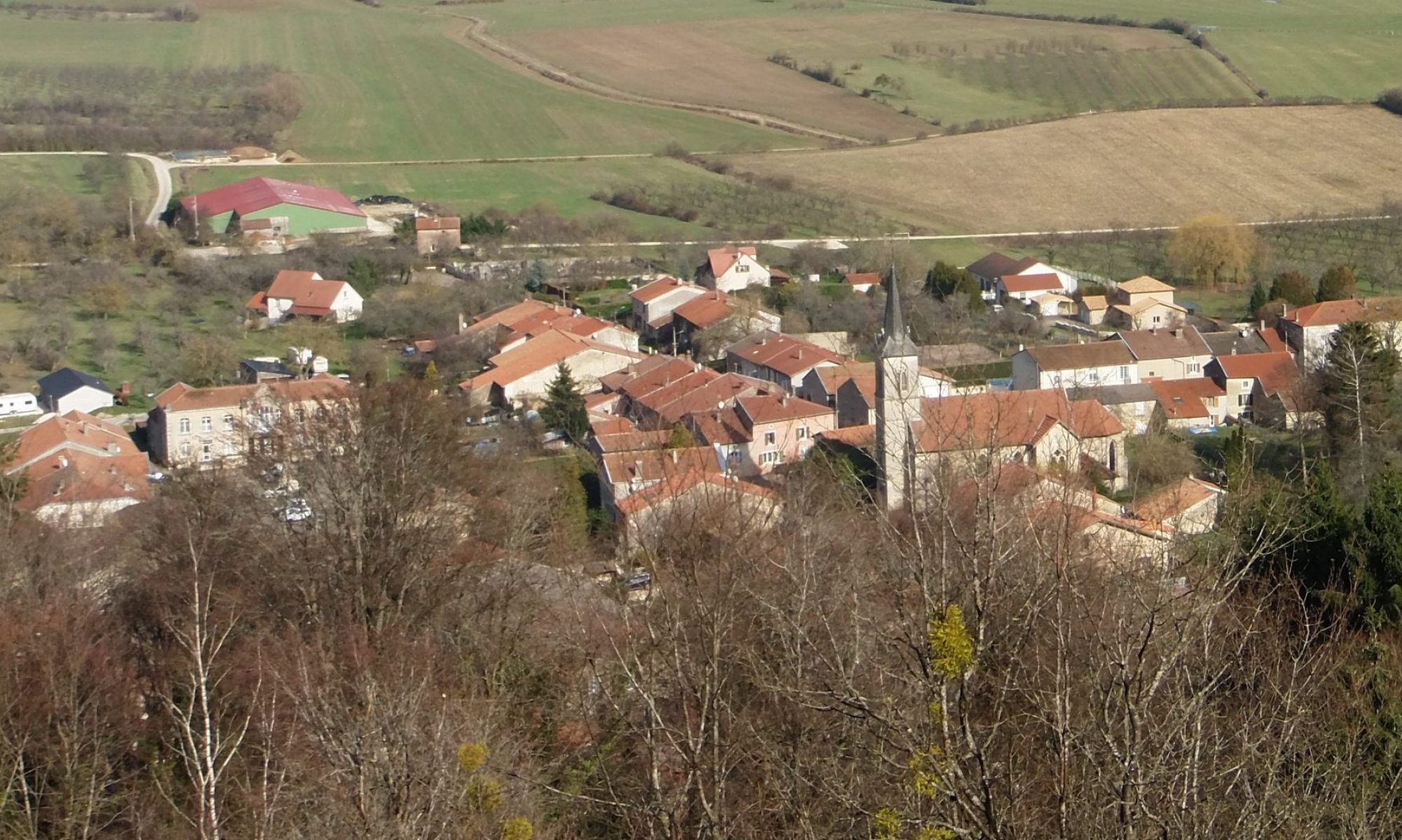
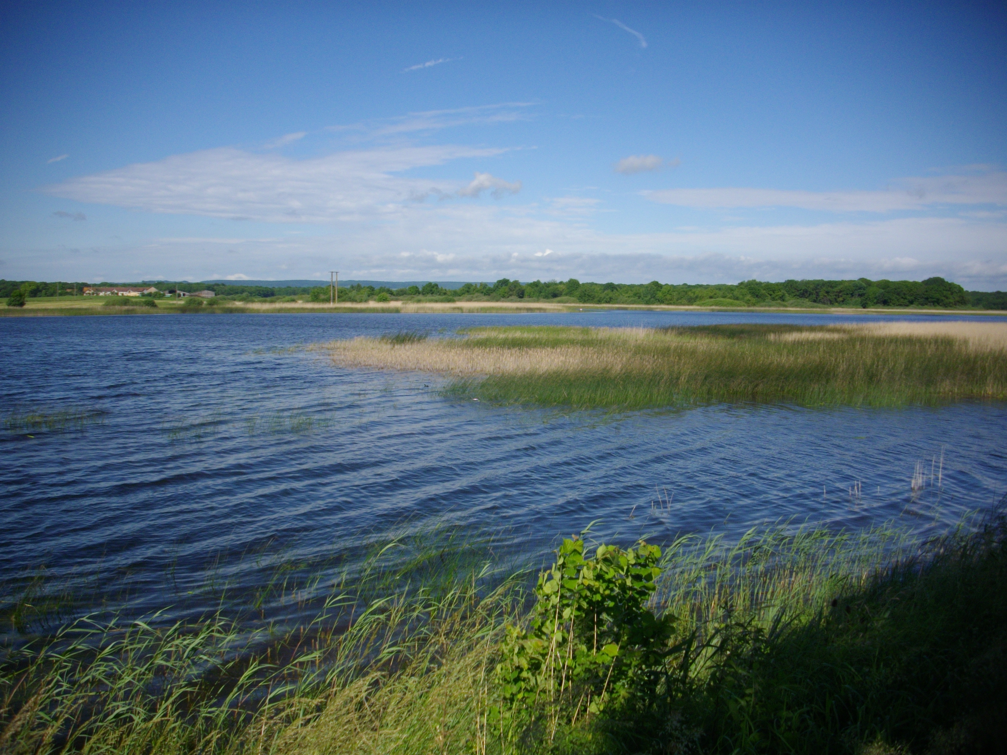
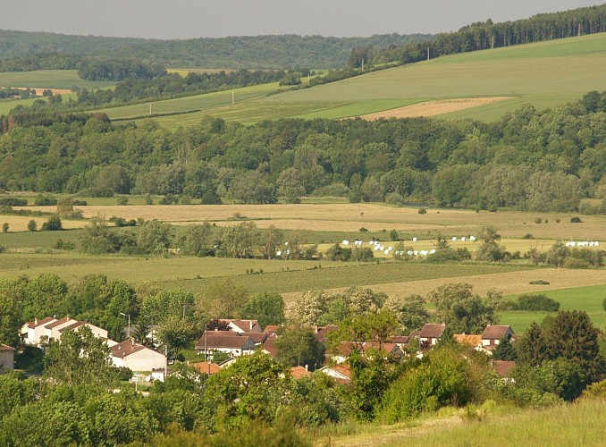
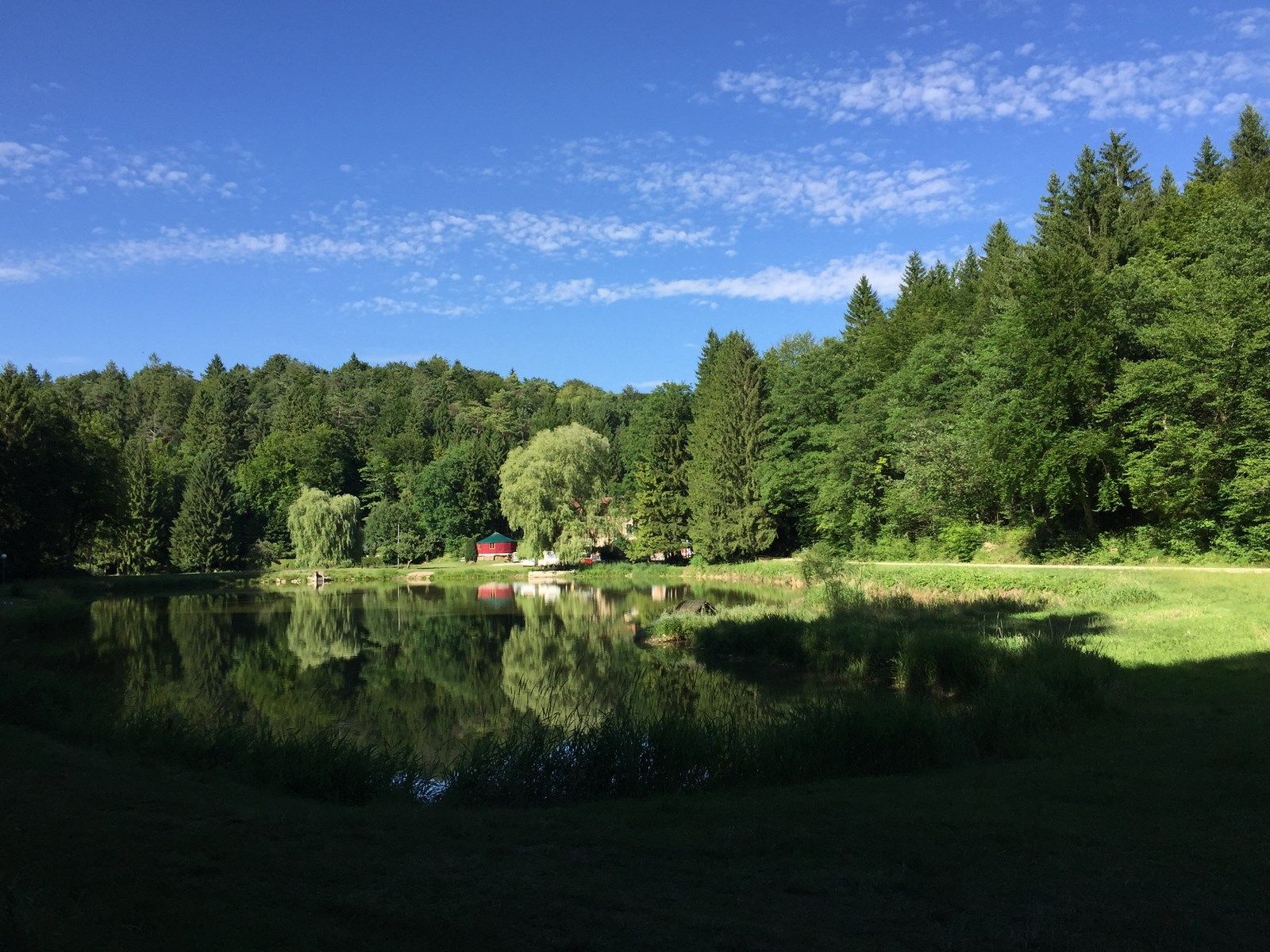
Departing from Saint-Maurice-sous-les-Côtes, this walk explores the charming lakes of Longeau. The route is mainly through the forest before leading to the ponds. Once at the ponds, we take advantage of the moment, then we head back to the starting point to end this beautiful walk.

Already more than 200,000 users!
Uphill
205m
Highest point
406m
Downhill
205m
Lowest point
283m
Route type
There and back
Download the map on your smartphone to save battery and rest assured to always keep access to the route, even without signal.
Includes IGN France and Swisstopo.
I indicate whether dogs are allowed or prohibited on this trail
All year
0 ratings
Also enjoy:

Already more than 200,000 users!