Uphill
37m
Length
1km
Duration
30min
Elev gain
37m
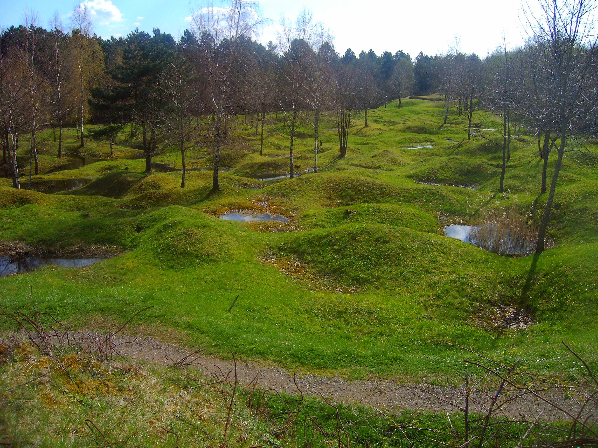
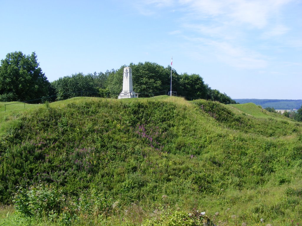
Here is a walk on the Butte de Vauquois, located 25 kilometers west of Verdun. This was one of the high places where the battles of the Argonne took place during the First World War. In total, 14,000 soldiers lost their lives during the Battle of Vauquois.

Already more than 200,000 users!
Uphill
37m
Highest point
286m
Downhill
37m
Lowest point
256m
Route type
Loop
Download the map on your smartphone to save battery and rest assured to always keep access to the route, even without signal.
Includes IGN France and Swisstopo.
I indicate whether dogs are allowed or prohibited on this trail
All year
0 ratings
Also enjoy:

Already more than 200,000 users!