Uphill
197m
Length
15km
Duration
4h
Elev gain
197m
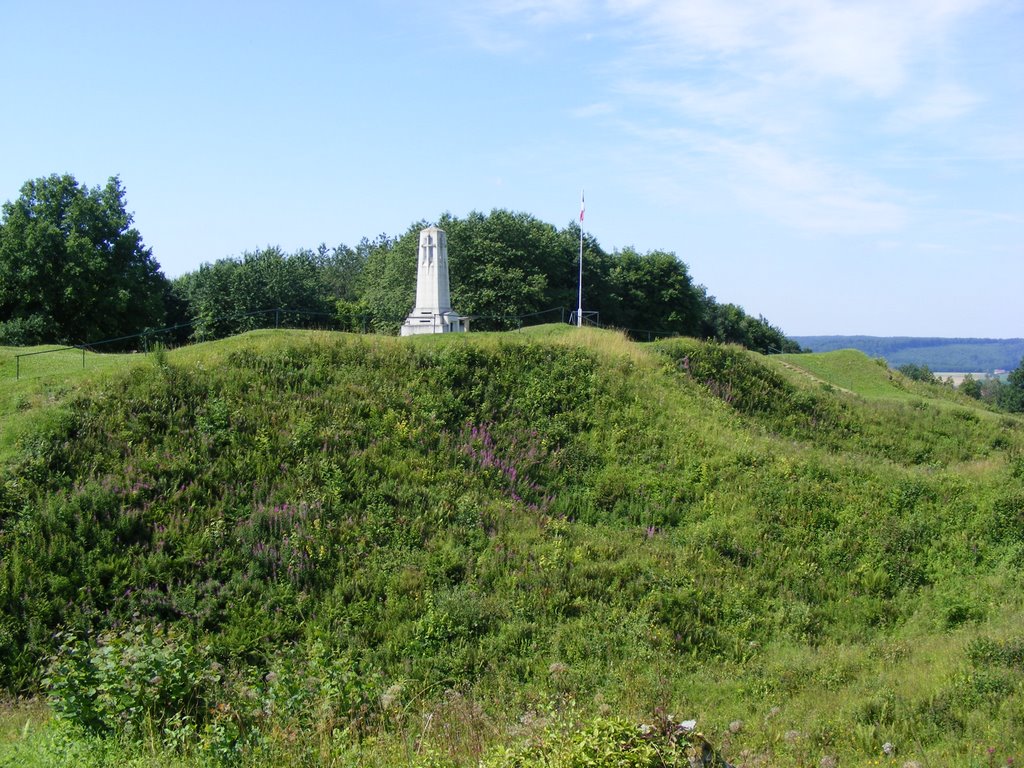
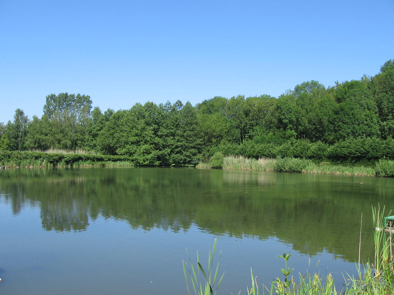
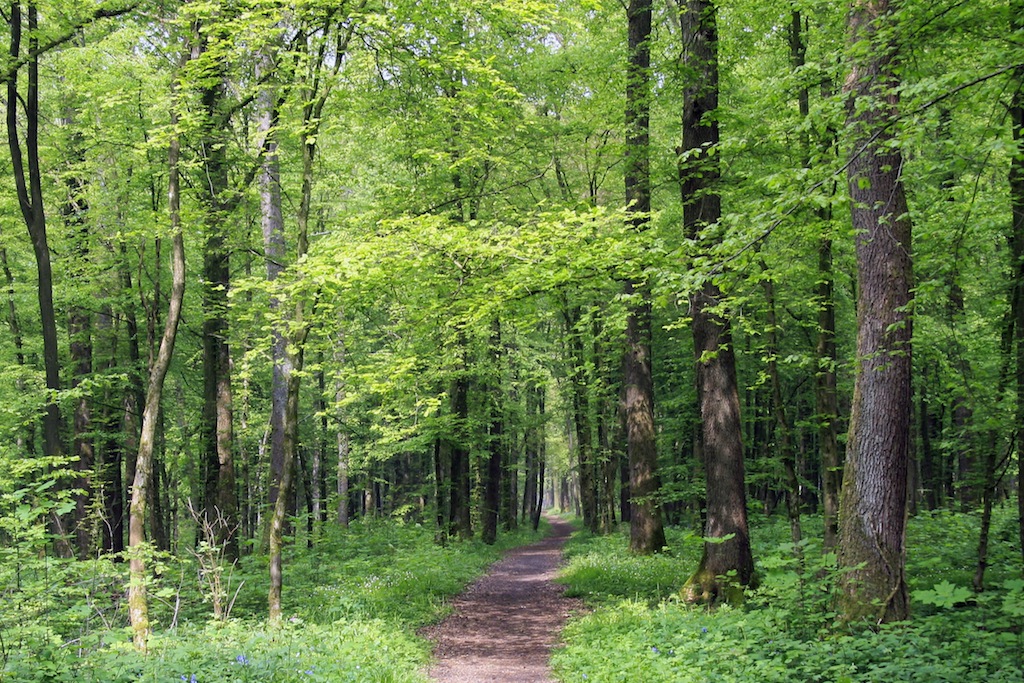
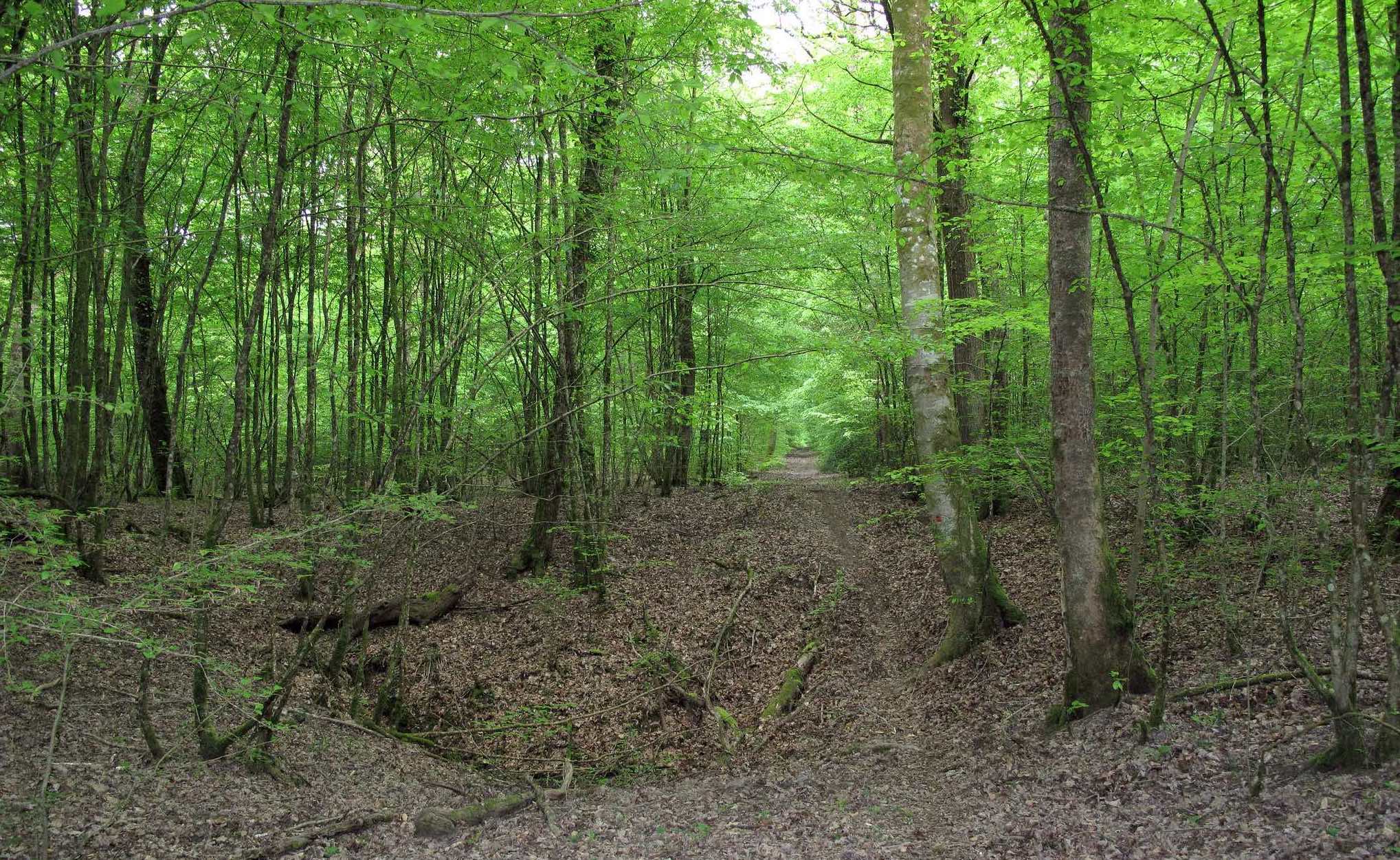
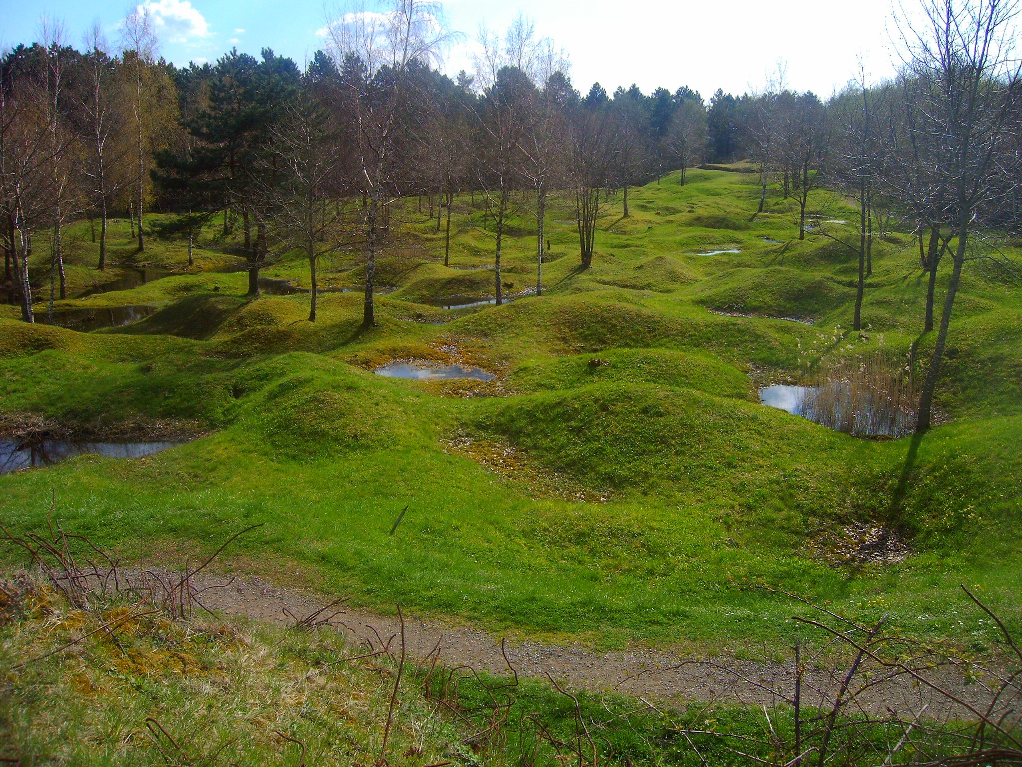
Departing from Vienne-le-Château, this hike goes around the site of the Battle of Argonne, the site of the last attack of the First World War. A route in an environment marked by history, mainly in the forest.

Already more than 200,000 users!
Uphill
197m
Highest point
226m
Downhill
197m
Lowest point
121m
Route type
Loop
Download the map on your smartphone to save battery and rest assured to always keep access to the route, even without signal.
Includes IGN France and Swisstopo.
I indicate whether dogs are allowed or prohibited on this trail
All year
0 ratings
Also enjoy:

Already more than 200,000 users!