Uphill
134m
France > Grand Est > Vosges > Ballons des Vosges Regional Natural Park
Length
2km
Duration
1h
Elev gain
134m
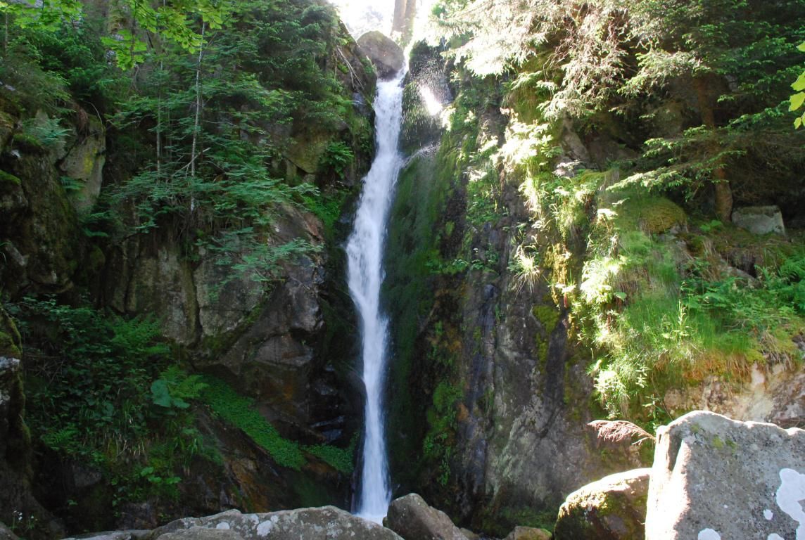
Family outing from the Ladies' pond. The route makes a round trip to the charming Rudlin waterfall, all in a natural and peaceful setting.

Already more than 200,000 users!
Uphill
134m
Highest point
834m
Downhill
134m
Lowest point
692m
Route type
There and back
Download the map on your smartphone to save battery and rest assured to always keep access to the route, even without signal.
Includes IGN France and Swisstopo.
I indicate whether dogs are allowed or prohibited on this trail
All year
1 rating
Also enjoy:

Already more than 200,000 users!