Uphill
386m
Length
18km
Duration
6h30min
Elev gain
386m
This last day of walking is in a way a mirror of the first. What you have climbed, you will now descend.
Shortly after leaving the Petit Ballon, the trail leaves the open peaks and returns to the forest, passing through the Col de Boenlesgrab then Bannstein.
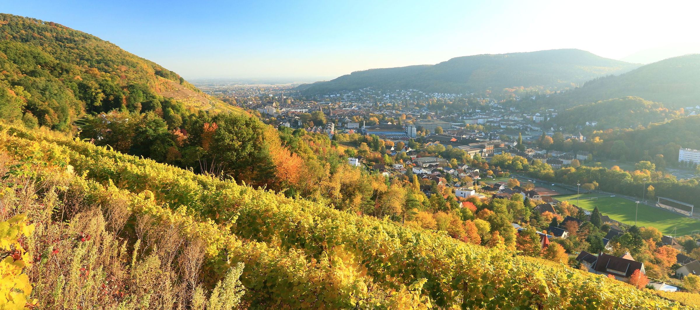
Over the last kilometres, the path overlooks Buhl and Guebwiller, crossing some vines on steep slopes. And you're back to where you started!

Already more than 200,000 users!
Uphill
386m
Highest point
1264m
Downhill
1300m
Lowest point
283m
Route type
One way
Download the map on your smartphone to save battery and rest assured to always keep access to the route, even without signal.
Includes IGN France and Swisstopo.
Auberge du Boenlesgrab is located about 3 kilometers after the start of this stage.
I indicate whether dogs are allowed or prohibited on this trail
Can be difficult in Winter
1 rating
Dernière partie du trek du Grand Ballon. Avec la fatigue accumulée, celle-ci est loin d’être facile. L’essentiel se fait en descente mais il reste encore du dénivelé positif, jusqu’aux derniers mètres. La vue sur la vallée, les vignes, et le Grand Ballon s’éloignant est vraiment plaisante. Conseil : pensez à vous ravitailler en eau aux rares auberges situés après le sommet du Petit Ballon car il n’y aucun point d’eau sur cette partie.
Also enjoy:

Already more than 200,000 users!


