Uphill
544m
Length
9km
Duration
4h
Elev gain
544m
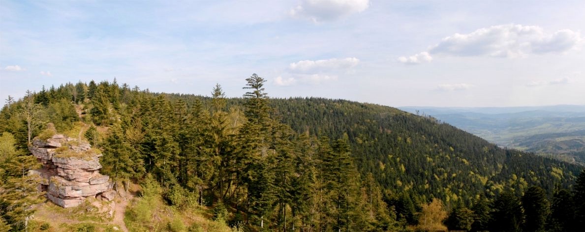
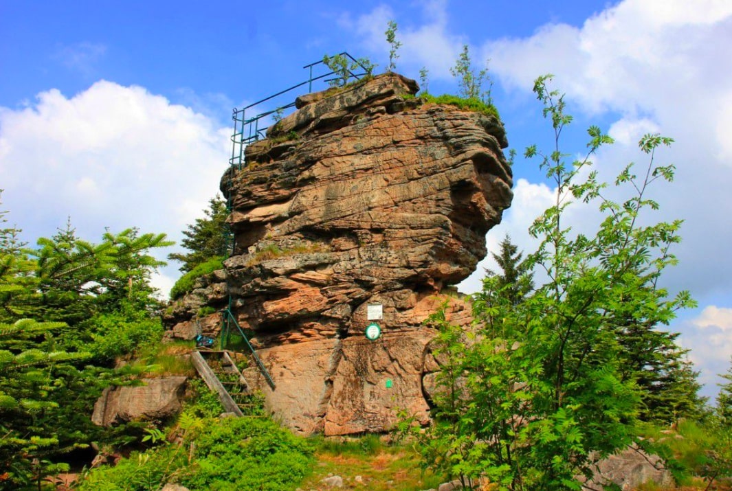
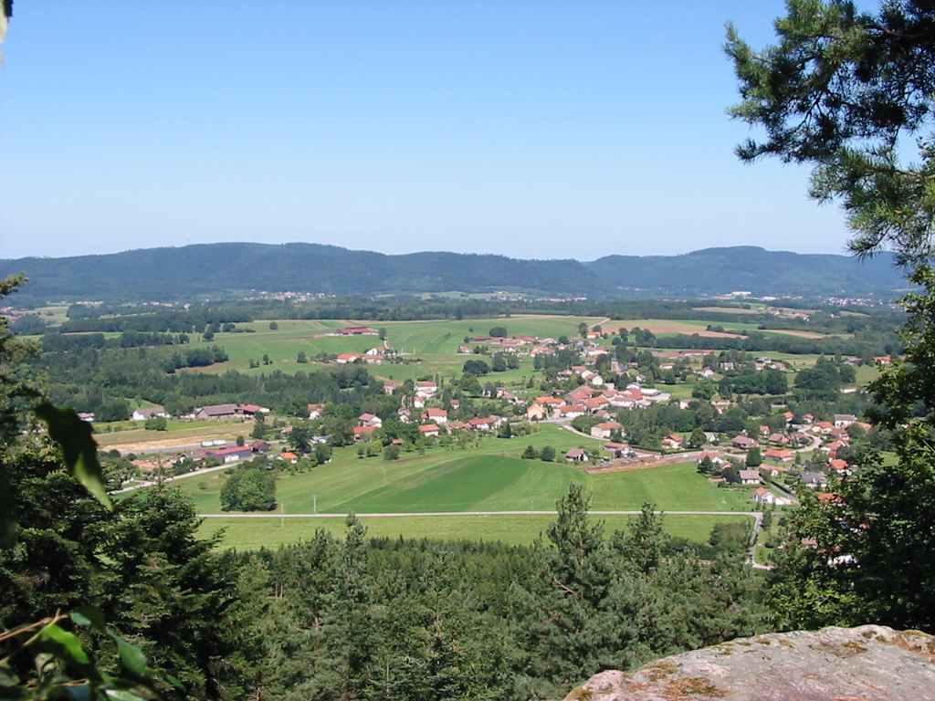
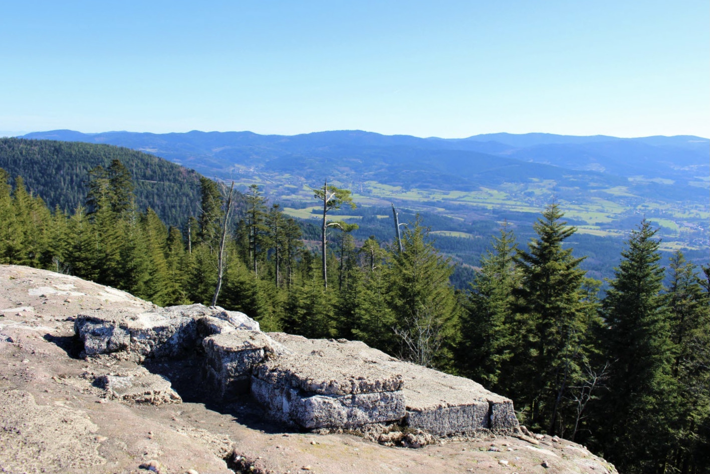
Challenging hike offering magnificent panoramas. The route makes a loop passing by the Rocher des Sapins then by the Tête des Chariots, before reaching the Faux Col. The return to the starting point is in the forest.

Already more than 200,000 users!
Uphill
544m
Highest point
890m
Downhill
544m
Lowest point
456m
Route type
Loop
Download the map on your smartphone to save battery and rest assured to always keep access to the route, even without signal.
Includes IGN France and Swisstopo.
I indicate whether dogs are allowed or prohibited on this trail
All year
0 ratings
Also enjoy:

Already more than 200,000 users!