Uphill
512m
Length
13km
Duration
4h30min
Elev gain
512m
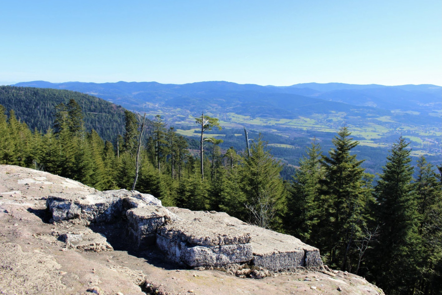
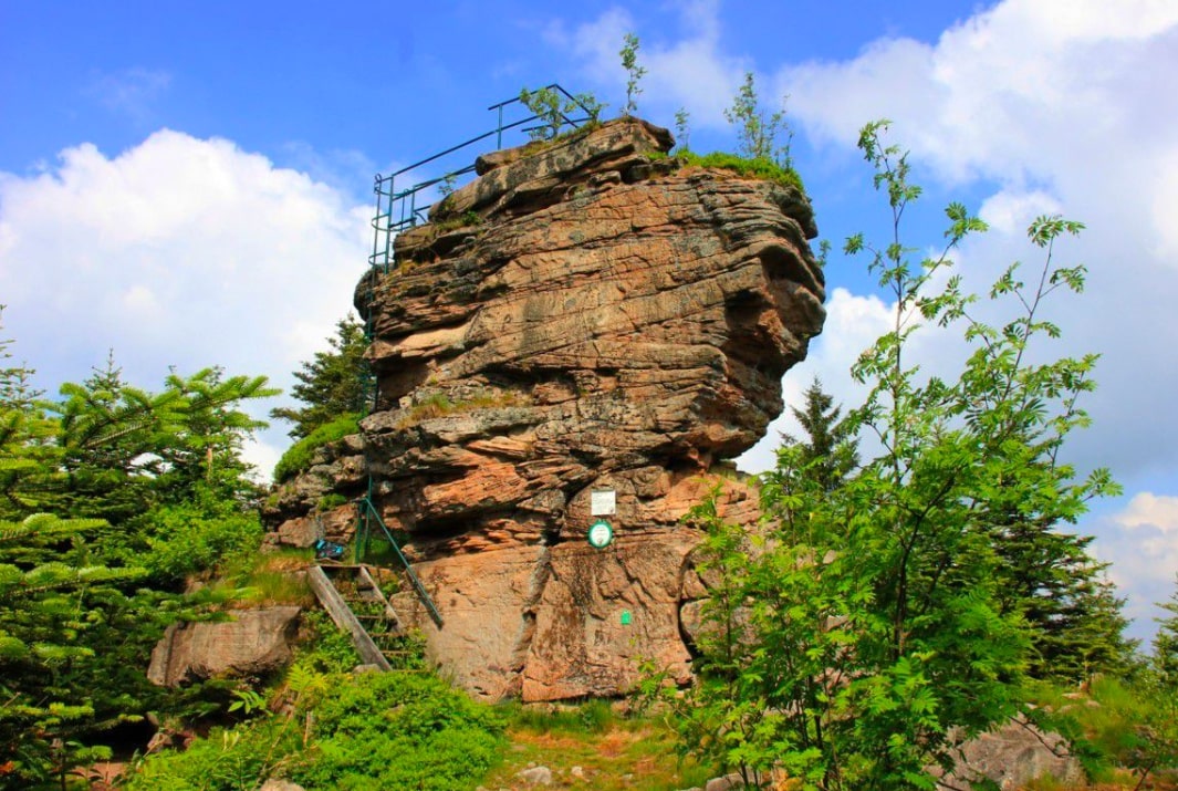
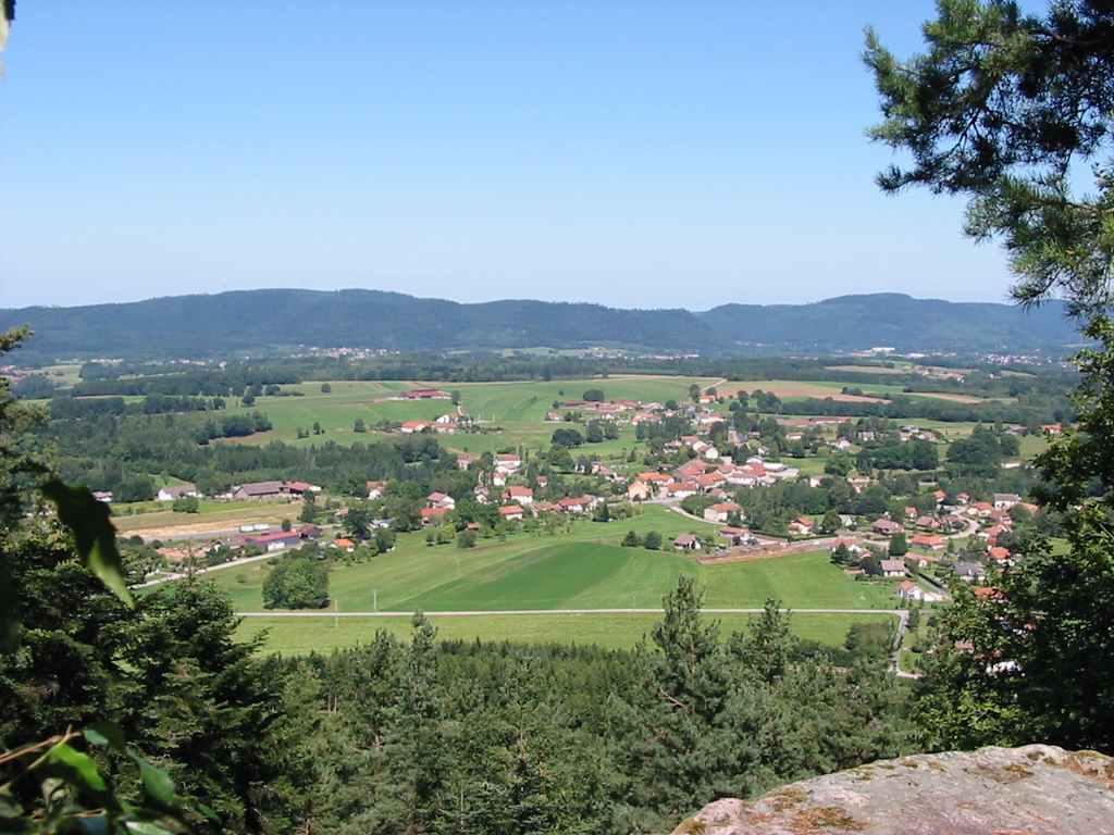
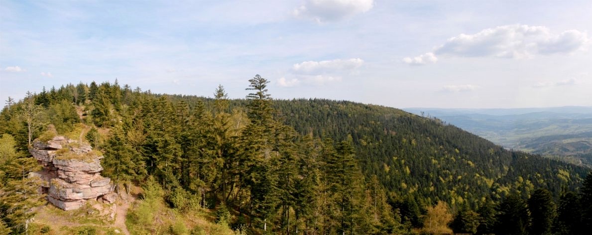
Shaded hike in the forest, offering pretty views, especially over Saint-Dié-des-Vosges, and allowing you to discover the many rocks of the Ormont massif. The return is via the Molières waterfall.

Already more than 200,000 users!
Uphill
512m
Highest point
890m
Downhill
512m
Lowest point
508m
Route type
Loop
Download the map on your smartphone to save battery and rest assured to always keep access to the route, even without signal.
Includes IGN France and Swisstopo.
I indicate whether dogs are allowed or prohibited on this trail
All year
0 ratings
Also enjoy:

Already more than 200,000 users!