Uphill
184m
Length
4km
Duration
1h30min
Elev gain
184m
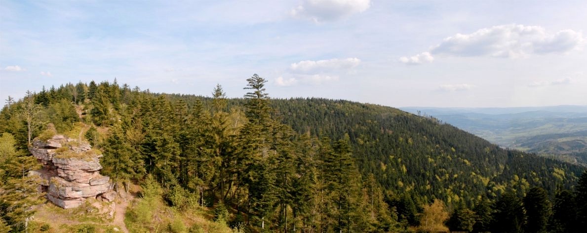
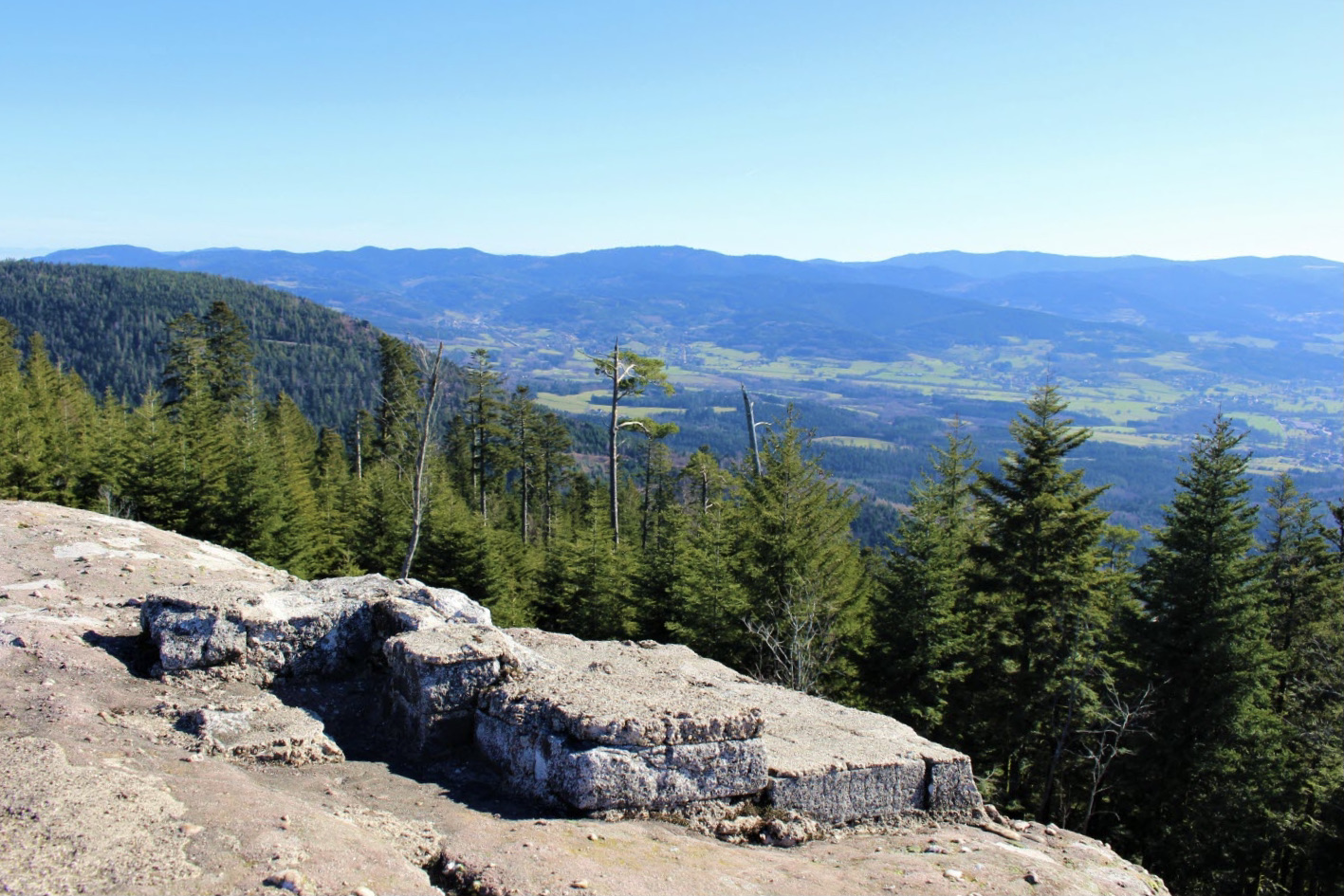
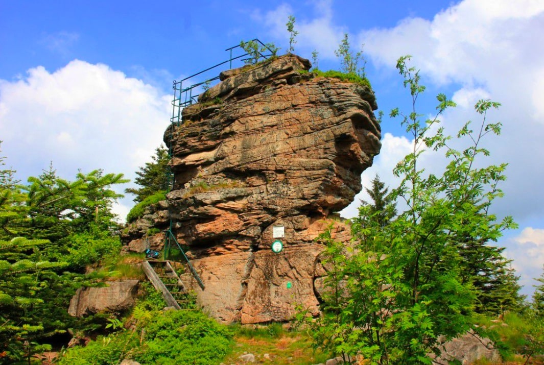
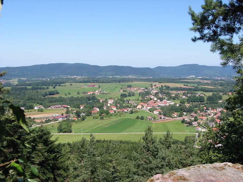
Within the forest of Jumeaux, this route makes a loop joining the Grand Jumeau (560m) for a nice view of the surroundings.

Already more than 200,000 users!
Uphill
184m
Highest point
554m
Downhill
184m
Lowest point
383m
Route type
Loop
Download the map on your smartphone to save battery and rest assured to always keep access to the route, even without signal.
Includes IGN France and Swisstopo.
I indicate whether dogs are allowed or prohibited on this trail
All year
0 ratings
Also enjoy:

Already more than 200,000 users!