Uphill
143m
France > Grand Est > Moselle > Lorraine Nature Park
Length
11km
Duration
3h
Elev gain
143m
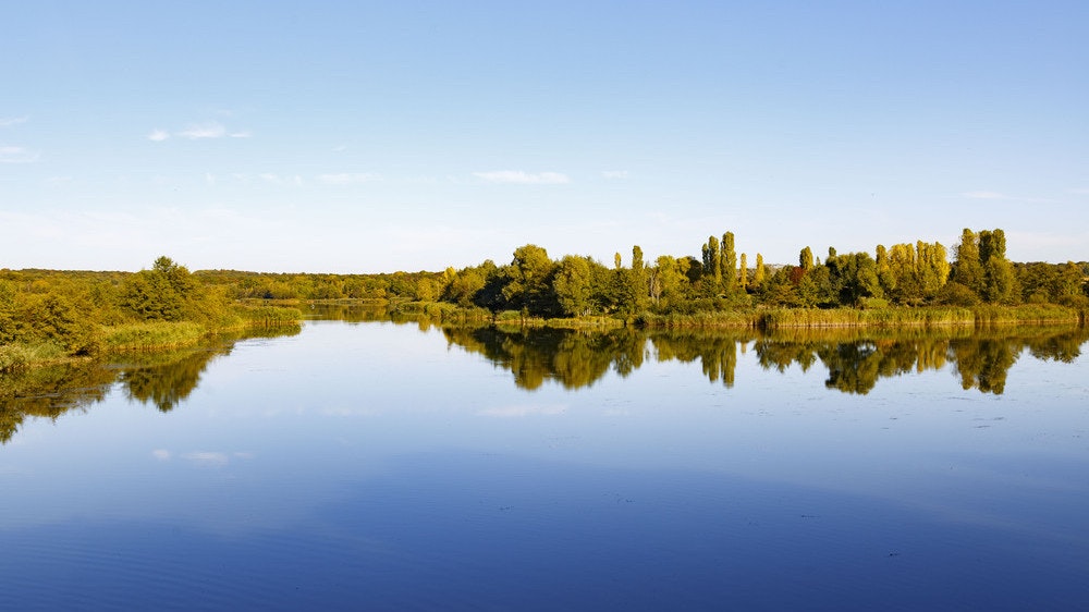
This trail allows you to discover the Réchicourt ponds and the Marne-Rhine canal, passing through dikes and wooded areas. Passage also through the impressive lock of Réchicourt-le-Château.

Already more than 200,000 users!
Uphill
143m
Highest point
296m
Downhill
143m
Lowest point
247m
Route type
Loop
Download the map on your smartphone to save battery and rest assured to always keep access to the route, even without signal.
Includes IGN France and Swisstopo.
I indicate whether dogs are allowed or prohibited on this trail
All year
1 rating
Also enjoy:

Already more than 200,000 users!


