Uphill
165m
Length
6km
Duration
2h
Elev gain
165m
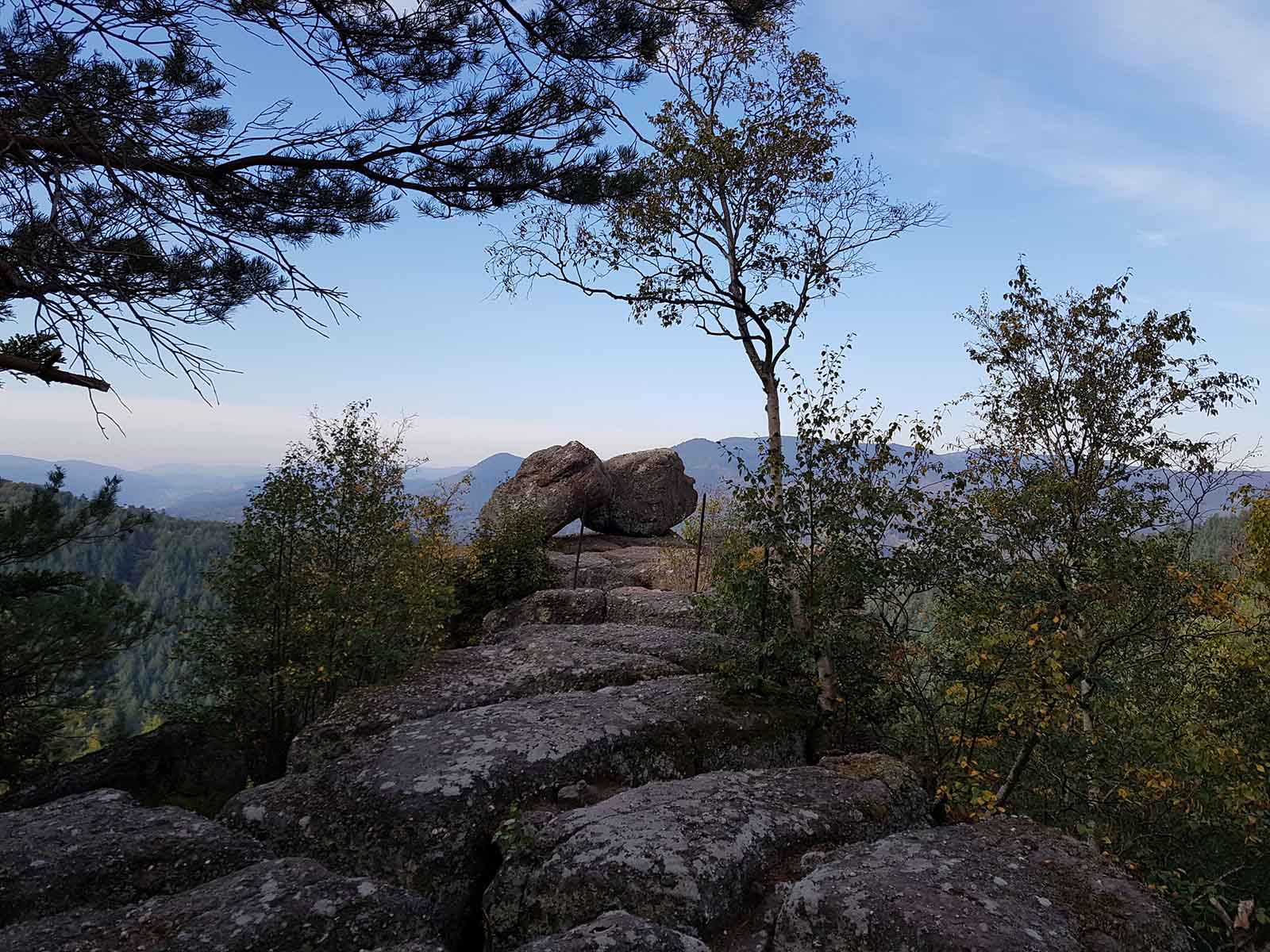
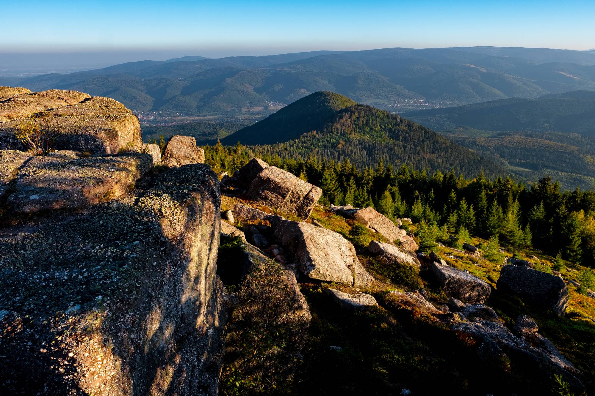
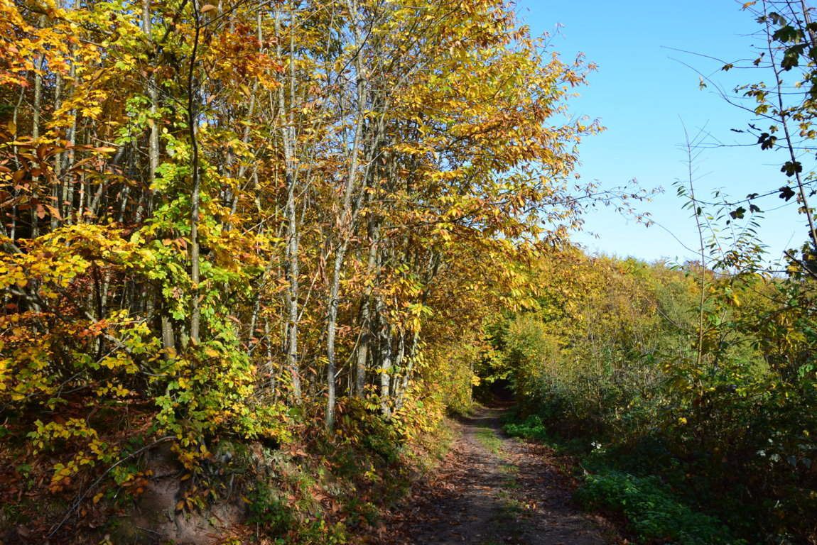
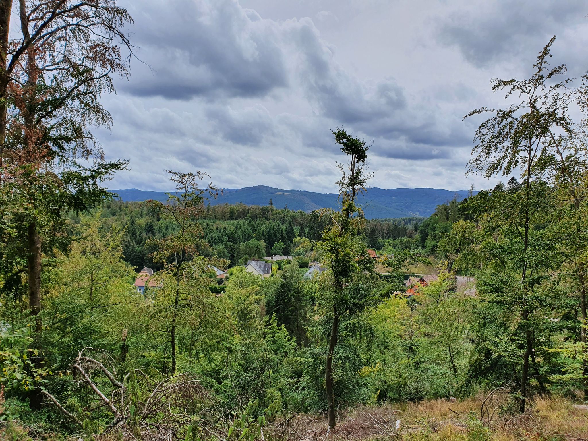
Very close to Oberhaslach, this hike makes a loop in the forest. The trail takes the Route des Pioniers as well as the Weinbaechel forest road. A nice walk in the shelter of the trees.

Already more than 200,000 users!
Uphill
165m
Highest point
396m
Downhill
165m
Lowest point
267m
Route type
Loop
Download the map on your smartphone to save battery and rest assured to always keep access to the route, even without signal.
Includes IGN France and Swisstopo.
I indicate whether dogs are allowed or prohibited on this trail
All year
0 ratings
Also enjoy:

Already more than 200,000 users!