Uphill
110m
Length
6km
Duration
1h30min
Elev gain
110m
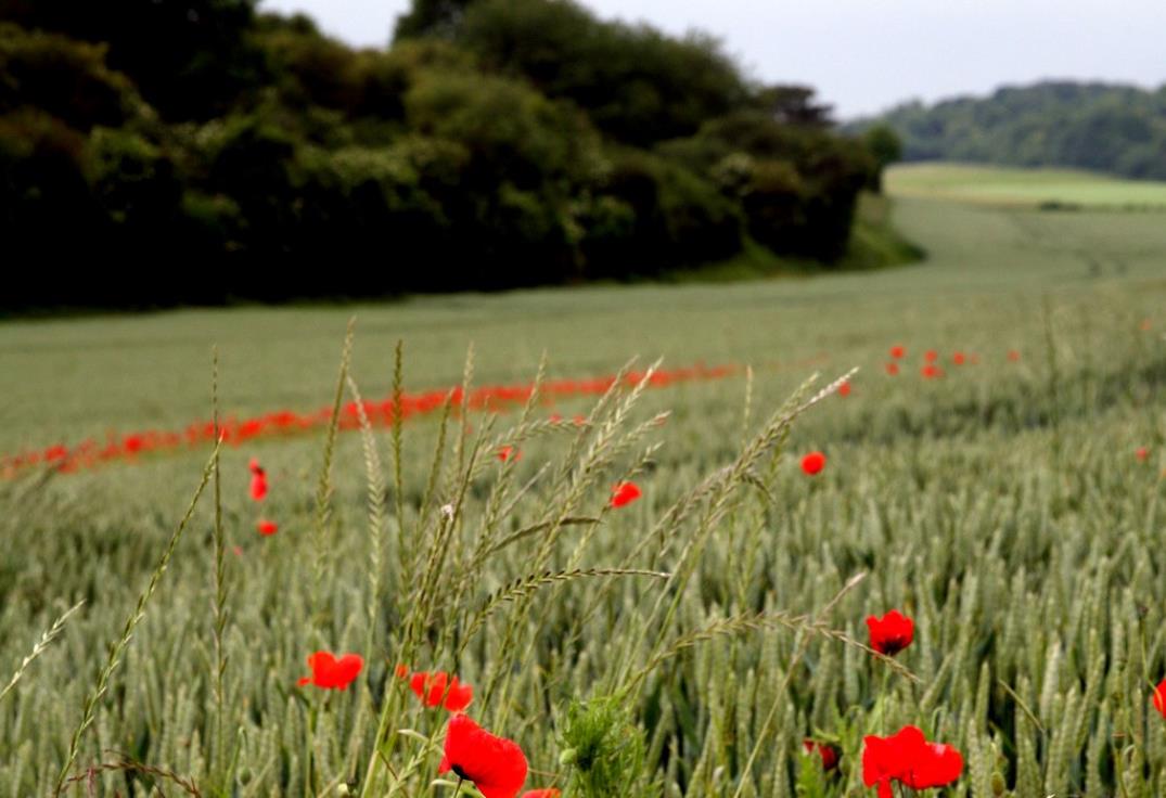
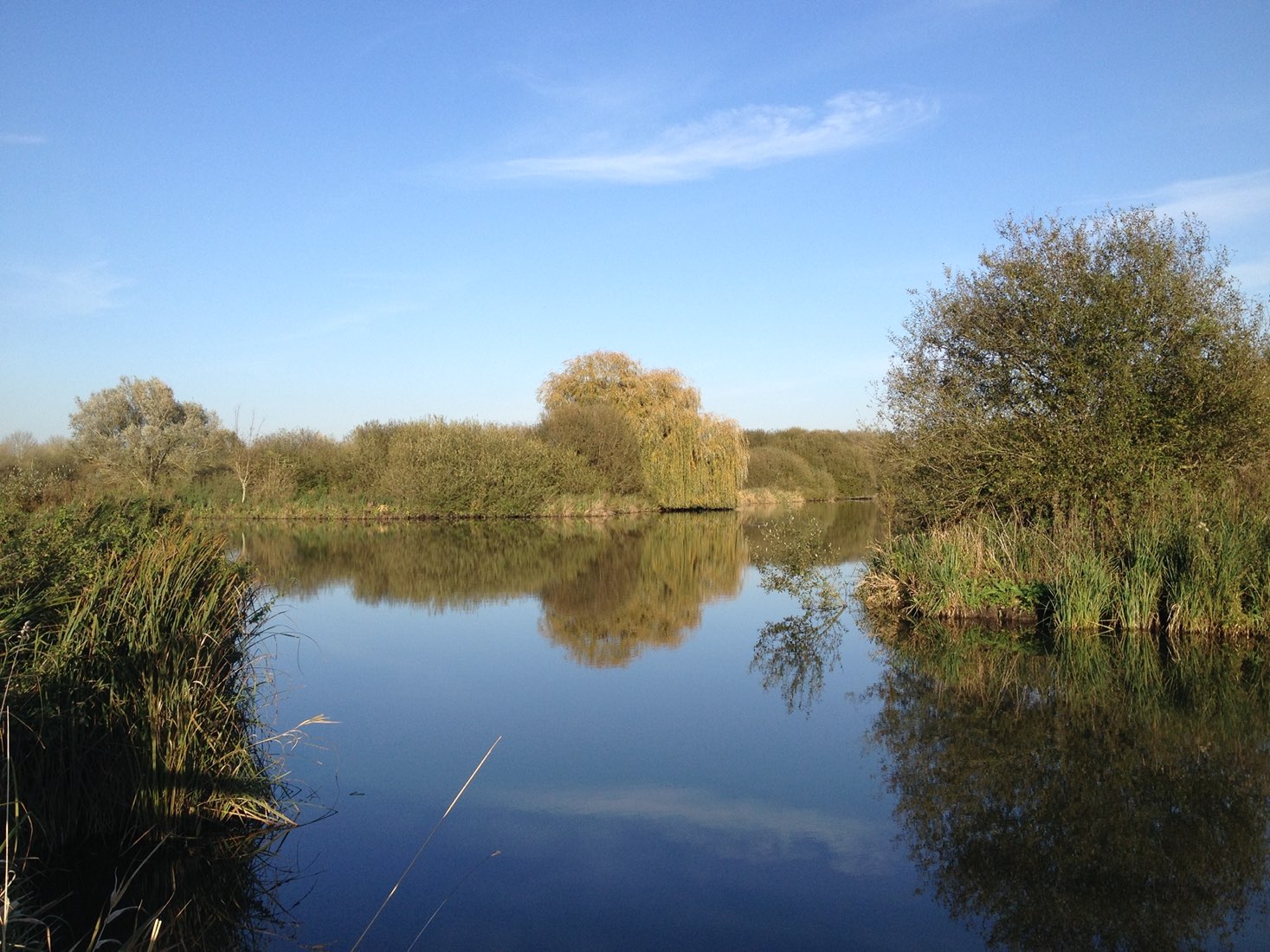
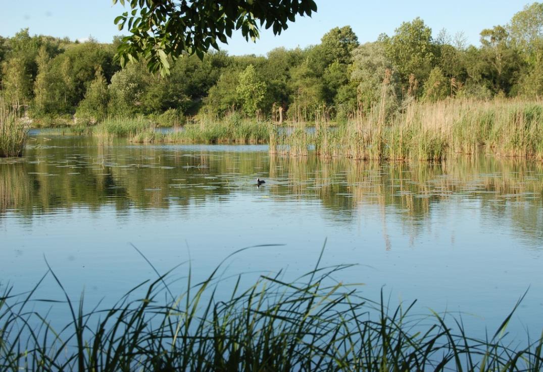
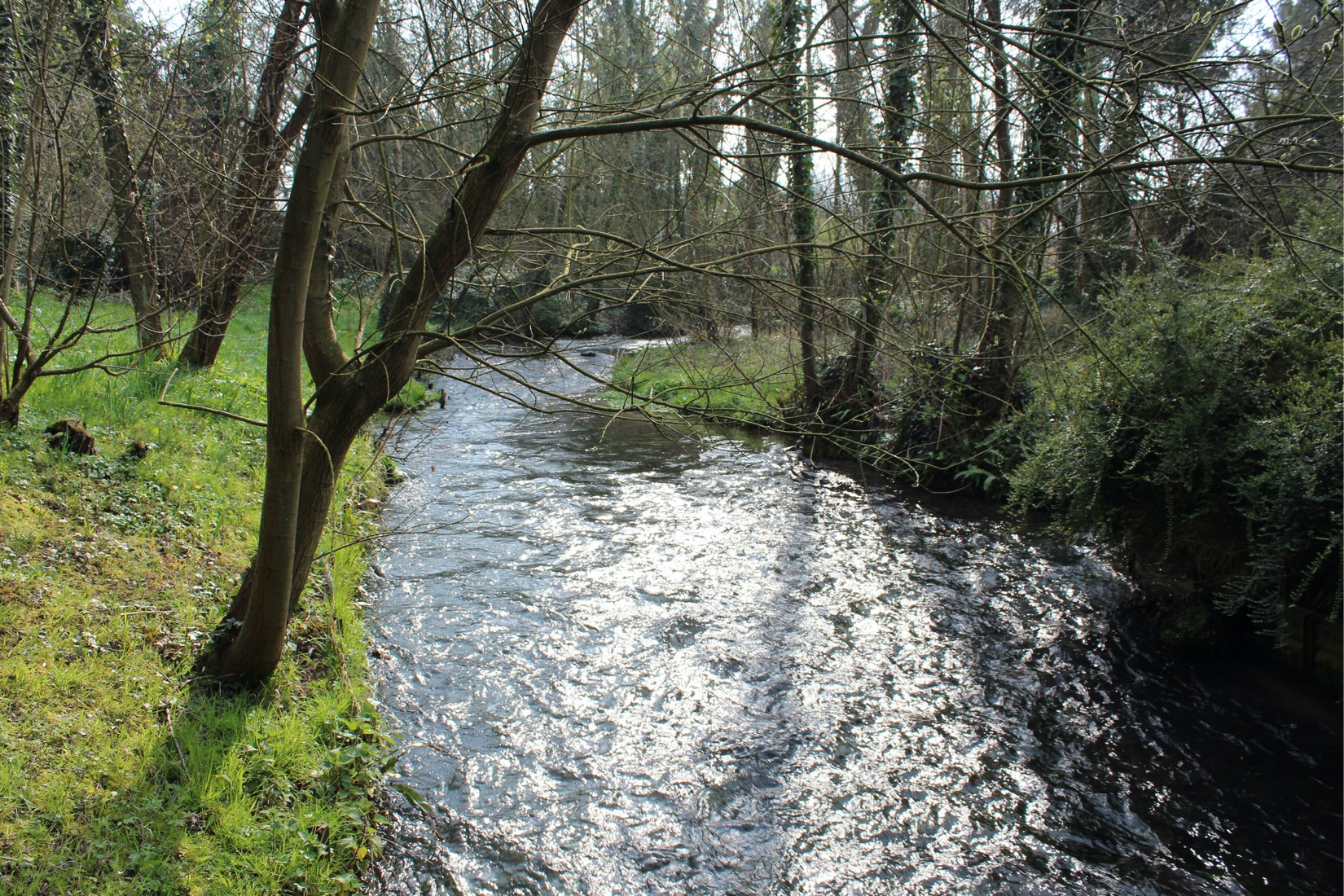
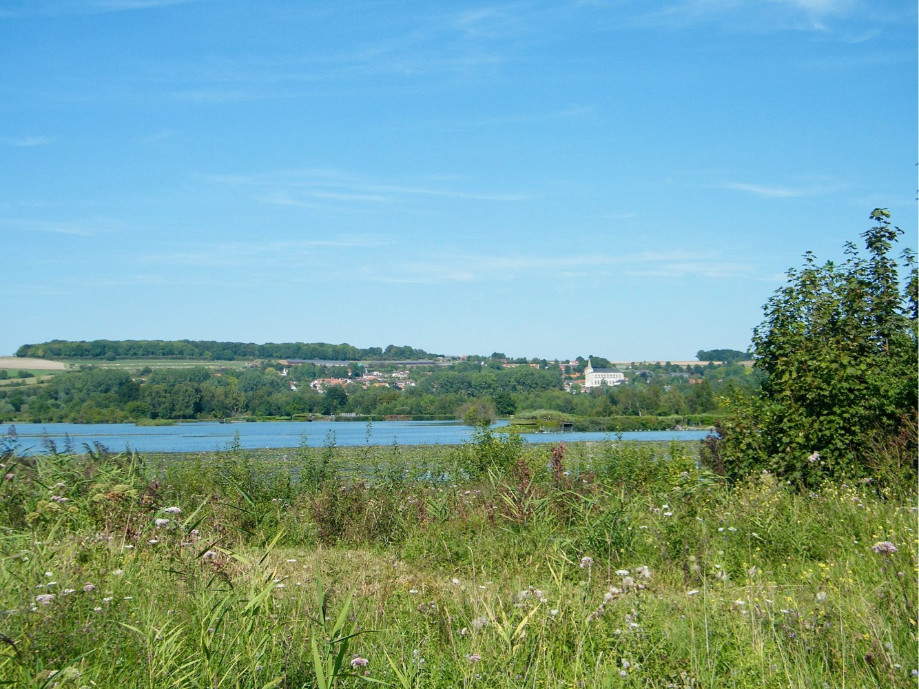
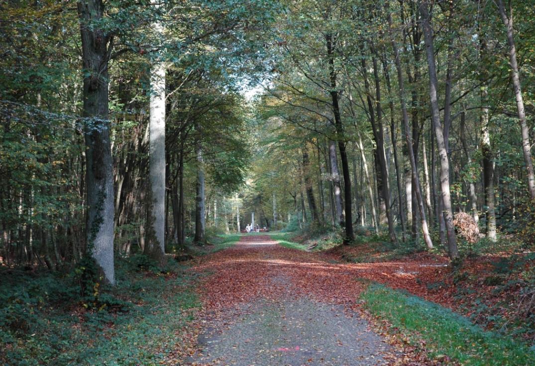
Walk in a forest located near Amiens, offering many trails conducive to escape.

Already more than 200,000 users!
Uphill
110m
Highest point
153m
Downhill
110m
Lowest point
80m
Route type
Loop
Download the map on your smartphone to save battery and rest assured to always keep access to the route, even without signal.
Includes IGN France and Swisstopo.
1 rating
Also enjoy:

Already more than 200,000 users!