Uphill
127m
Length
8km
Duration
2h30min
Elev gain
127m
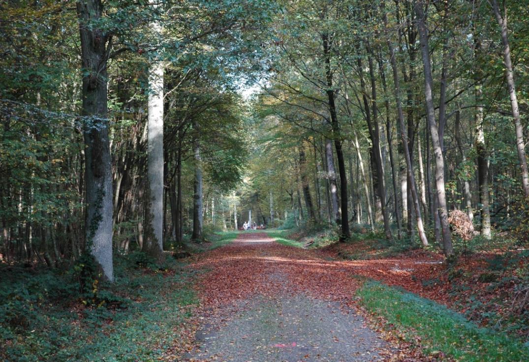
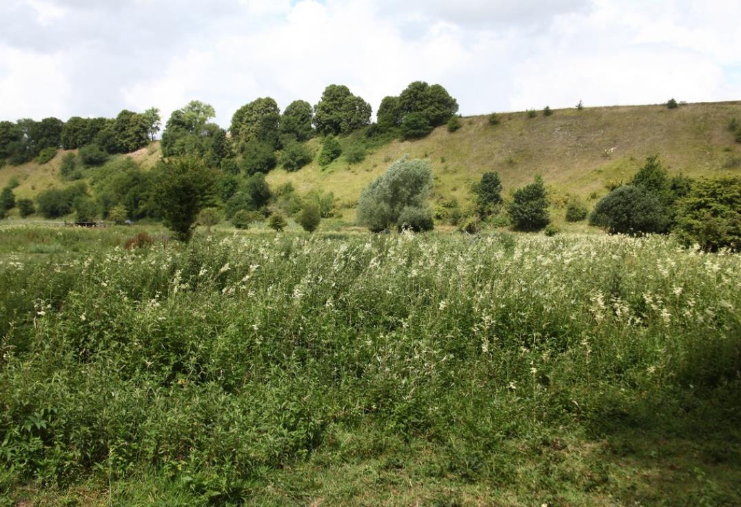
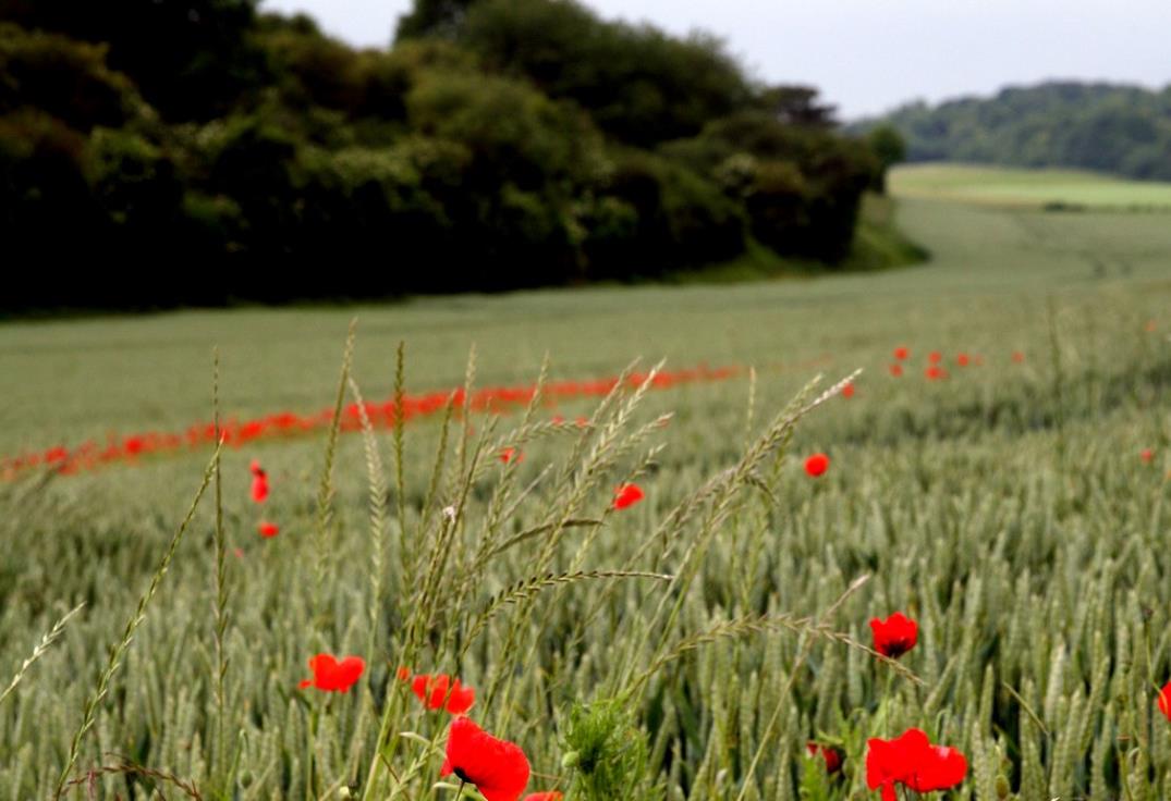
This route starting from Fossemanant first crosses a wood, a plain and embankments, before taking a green corridor built on an old railway line.

Already more than 200,000 users!
Uphill
127m
Highest point
104m
Downhill
127m
Lowest point
38m
Route type
Loop
Download the map on your smartphone to save battery and rest assured to always keep access to the route, even without signal.
Includes IGN France and Swisstopo.
I indicate whether dogs are allowed or prohibited on this trail
All year
0 ratings
Also enjoy:

Already more than 200,000 users!