Uphill
153m
Length
14km
Duration
4h
Elev gain
153m
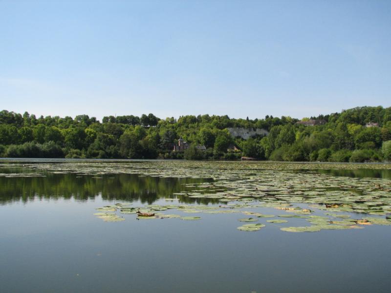
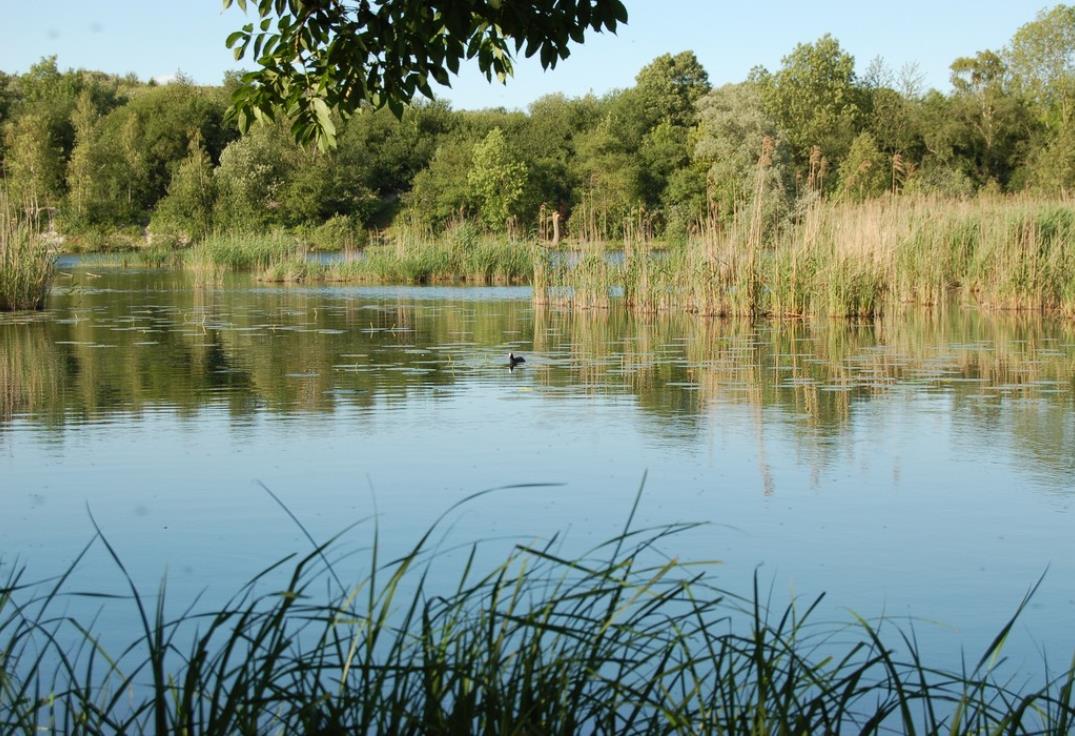
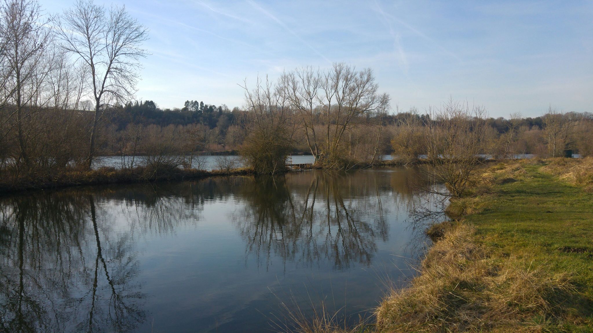
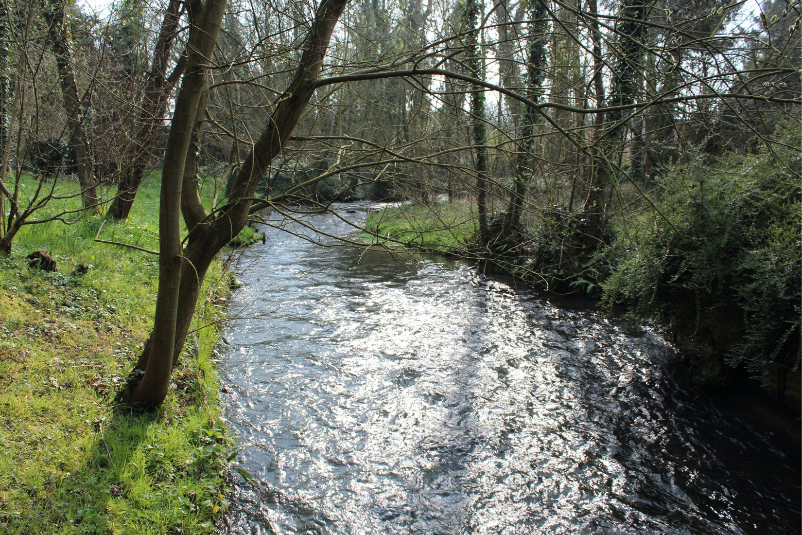
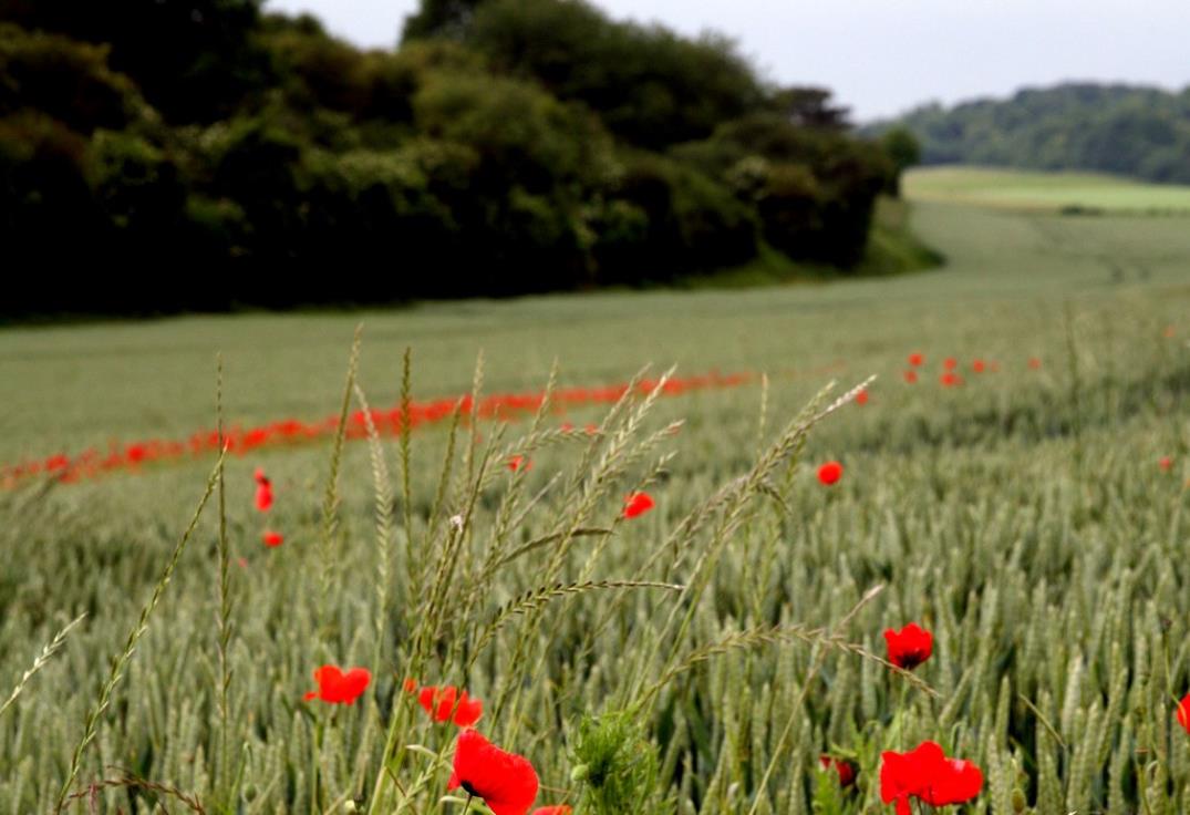
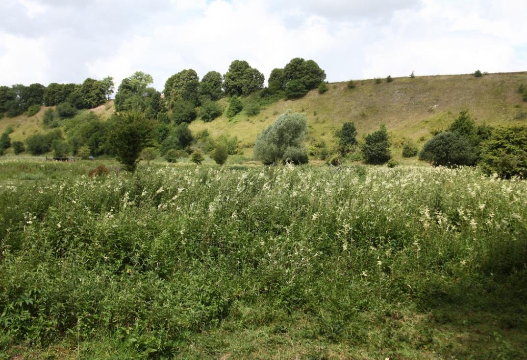
Loop trail presenting varied landscapes from Pont-Noyelles. The trail allows you to successively discover small villages, the countryside, the Haillettes marshes, as well as undergrowth and wetlands near the Hallue.

Already more than 200,000 users!
Uphill
153m
Highest point
110m
Downhill
153m
Lowest point
15m
Route type
Loop
Download the map on your smartphone to save battery and rest assured to always keep access to the route, even without signal.
Includes IGN France and Swisstopo.
0 ratings
Also enjoy:

Already more than 200,000 users!