Uphill
29m
Length
2km
Duration
30min
Elev gain
29m
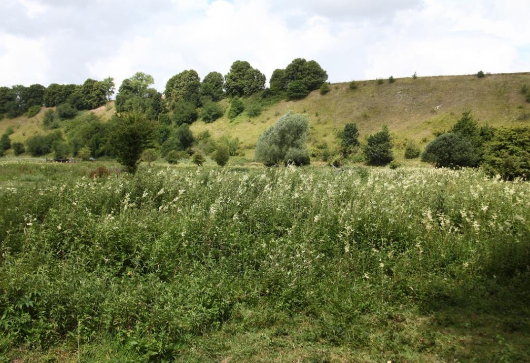
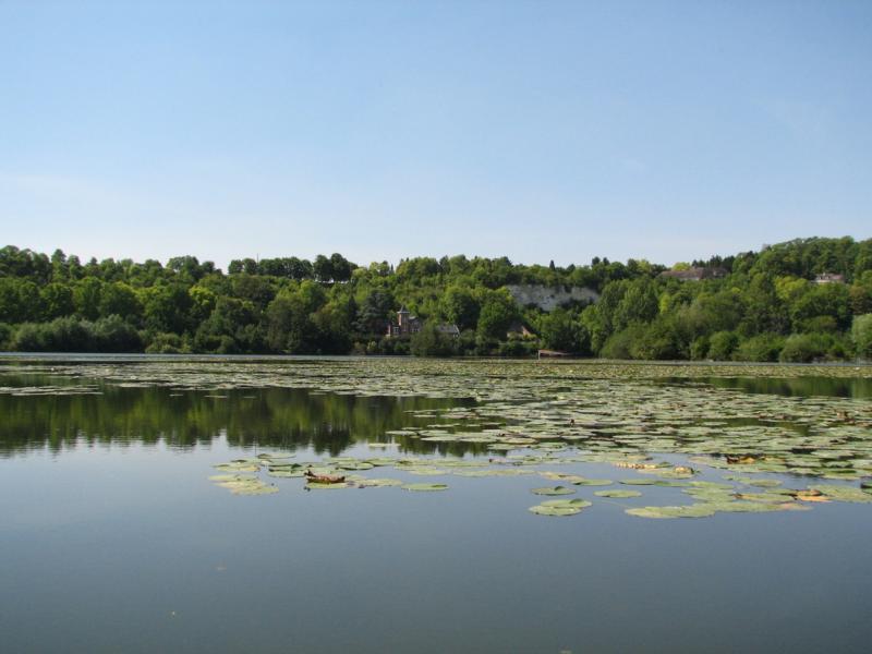
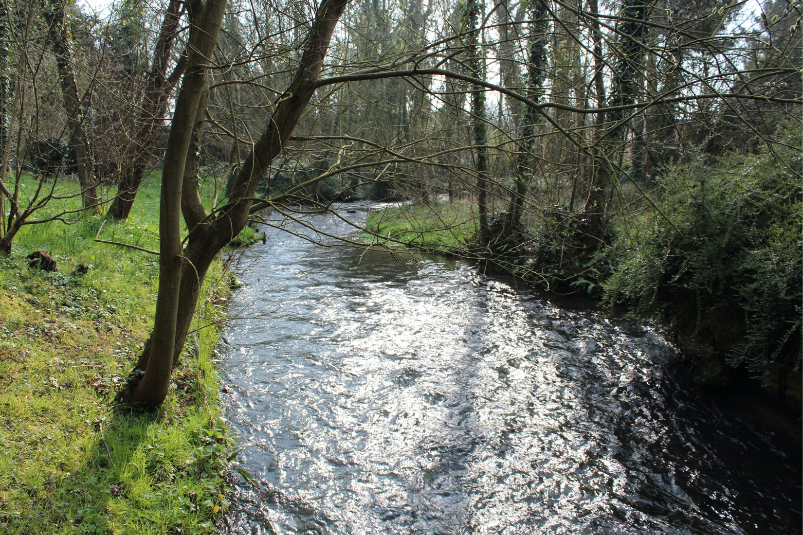
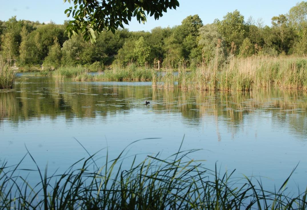
Short walk around the Saint-Ladre pond nature reserve, which offers unspoiled landscapes a stone's throw from Amiens in the Avre valley.
The extraction of peat for heating, during the 18th and 19th centuries, dug ponds in place of the old meadows.

Already more than 200,000 users!
Uphill
29m
Highest point
39m
Downhill
29m
Lowest point
11m
Route type
Loop
Download the map on your smartphone to save battery and rest assured to always keep access to the route, even without signal.
Includes IGN France and Swisstopo.
1 rating
Also enjoy:

Already more than 200,000 users!