Uphill
111m
Length
9km
Duration
2h30min
Elev gain
111m
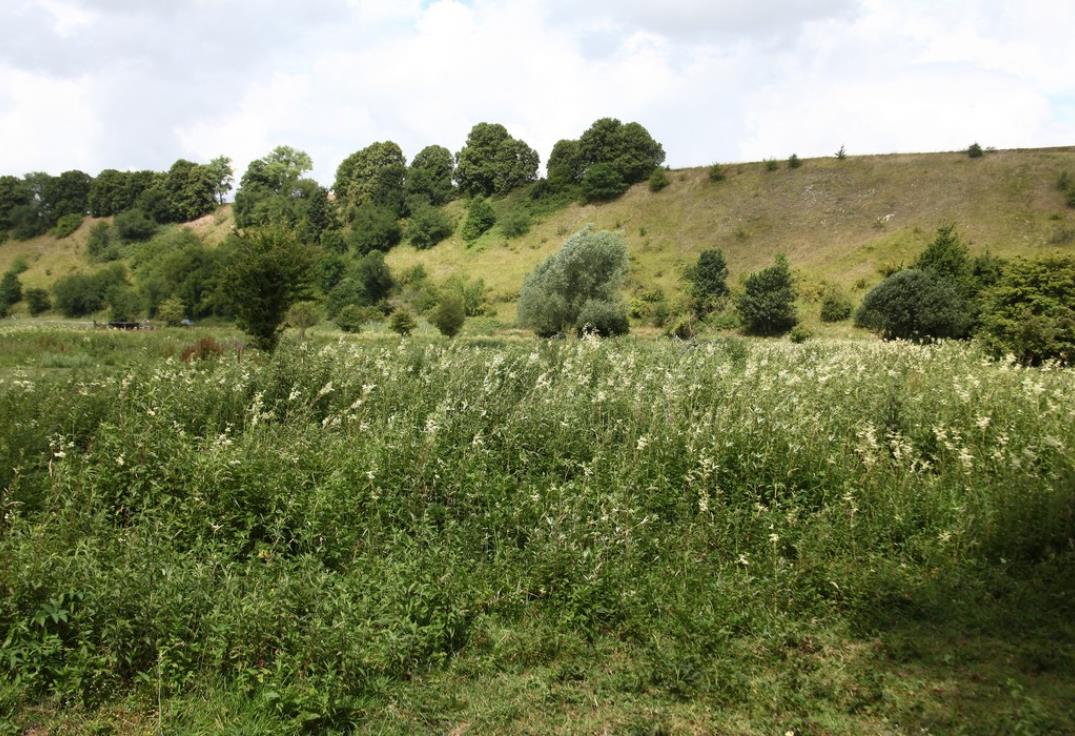
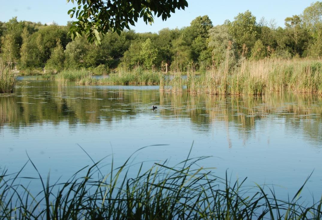
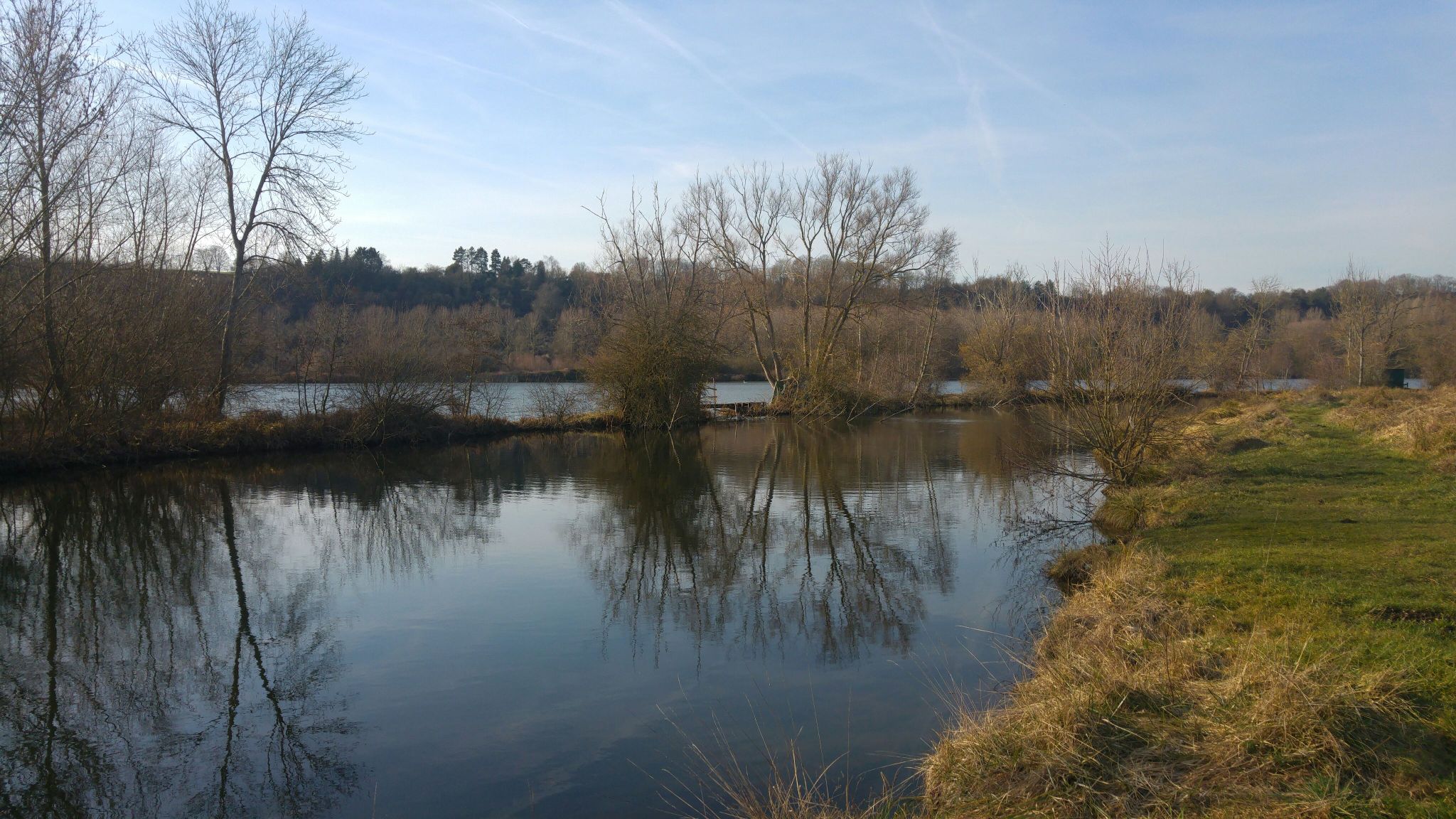
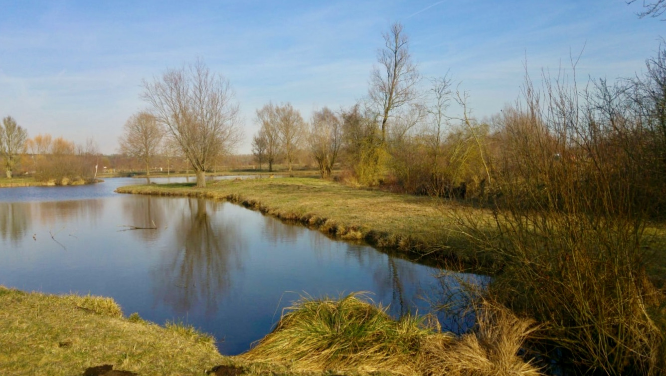
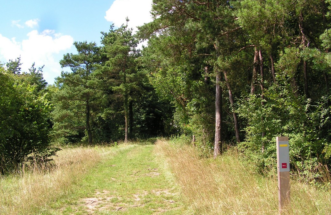
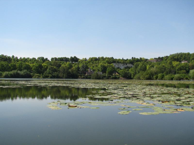
Starting from the Corbie lock, this route first explores the surrounding countryside. The trail then meets the Somme at Vaire-sous-Corbie, on a towpath bordered by numerous ponds.

Already more than 200,000 users!
Uphill
111m
Highest point
57m
Downhill
111m
Lowest point
11m
Route type
Loop
Download the map on your smartphone to save battery and rest assured to always keep access to the route, even without signal.
Includes IGN France and Swisstopo.
2 ratings
Also enjoy:

Already more than 200,000 users!