Uphill
177m
Length
17km
Duration
4h30min
Elev gain
177m
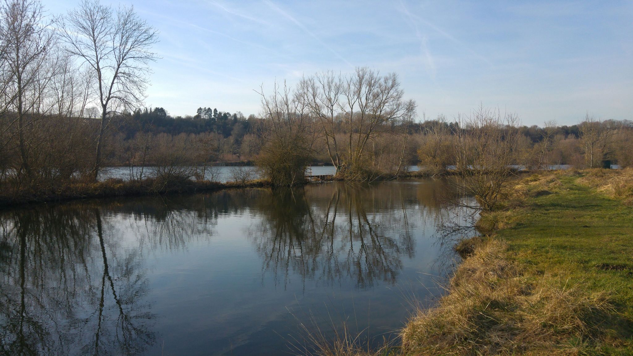
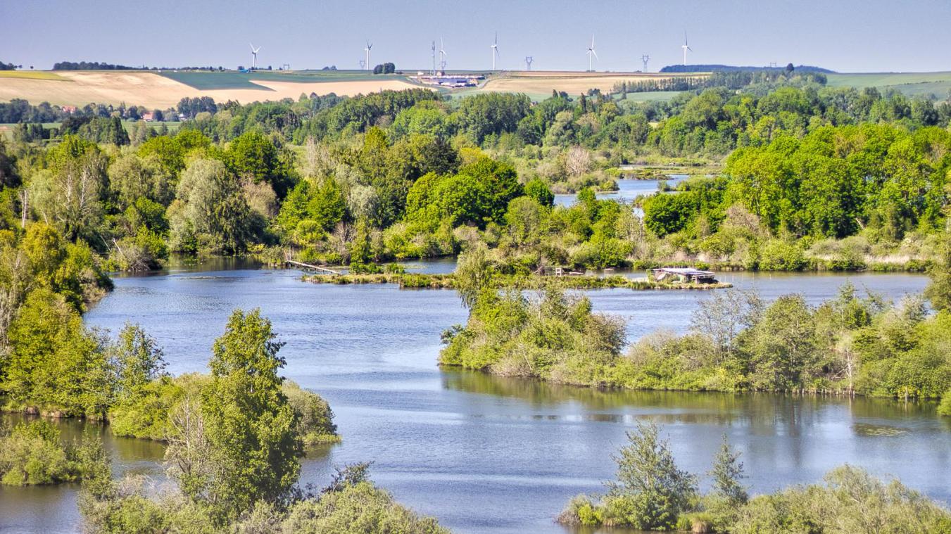
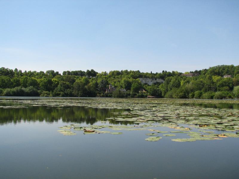
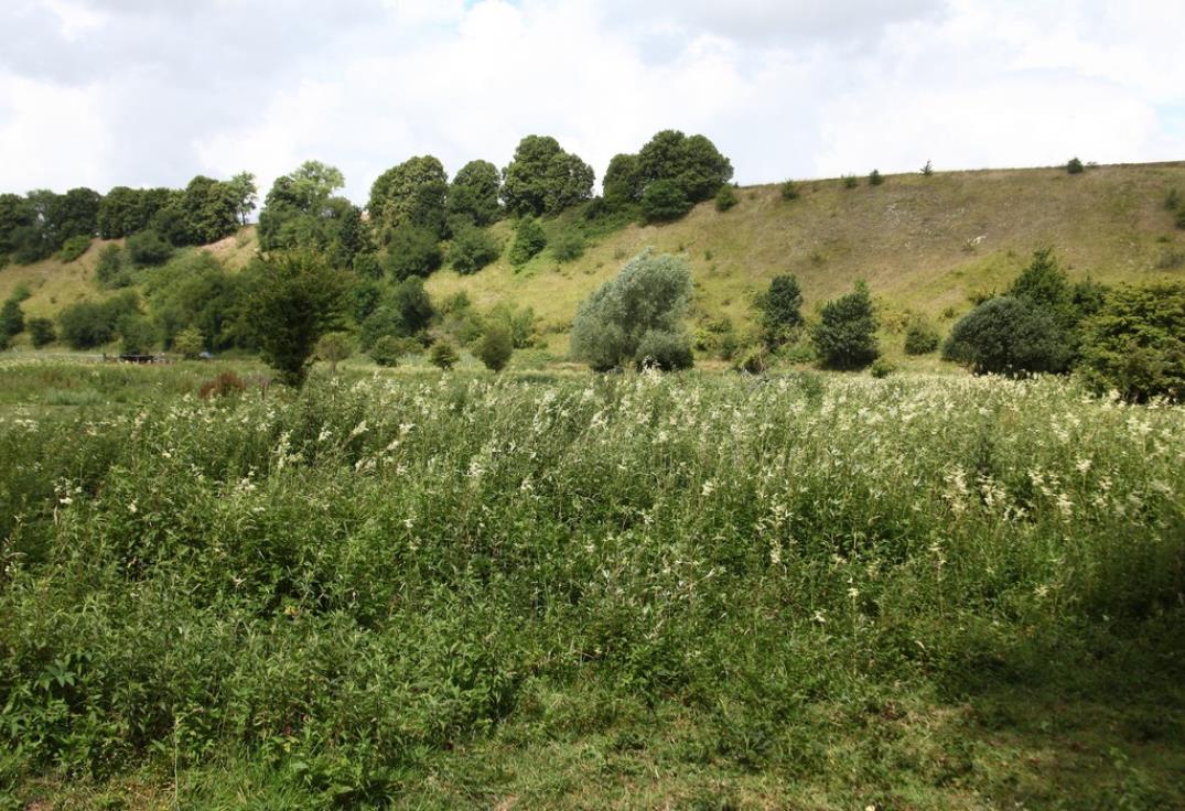
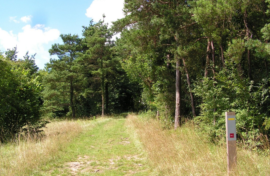
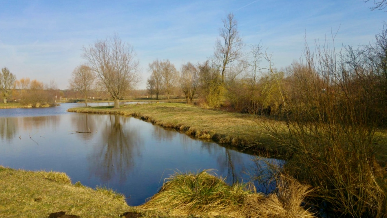
Departing from Bray-sur-Somme, this long hike loops around the Somme. The path runs along the river, alternating between forest and wet meadows and passing through three villages: Neuville-lès-Bray, Froissy and Étinehem.
Note that the route takes a departmental road for 2 kilometers just before Etinehem.

Already more than 200,000 users!
Uphill
177m
Highest point
68m
Downhill
177m
Lowest point
0m
Route type
Loop
Download the map on your smartphone to save battery and rest assured to always keep access to the route, even without signal.
Includes IGN France and Swisstopo.
I indicate whether dogs are allowed or prohibited on this trail
All year
0 ratings
Also enjoy:

Already more than 200,000 users!