Uphill
53m
Length
3km
Duration
1h
Elev gain
53m
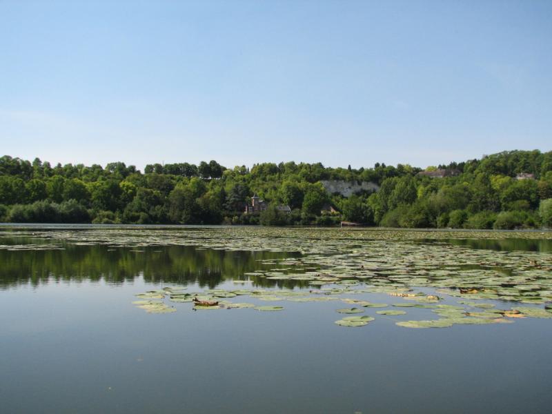
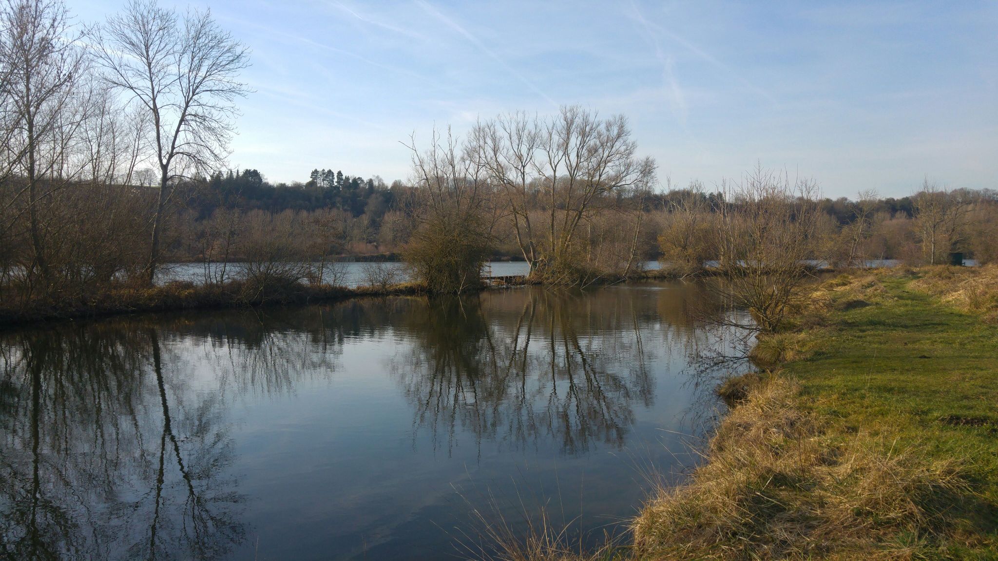
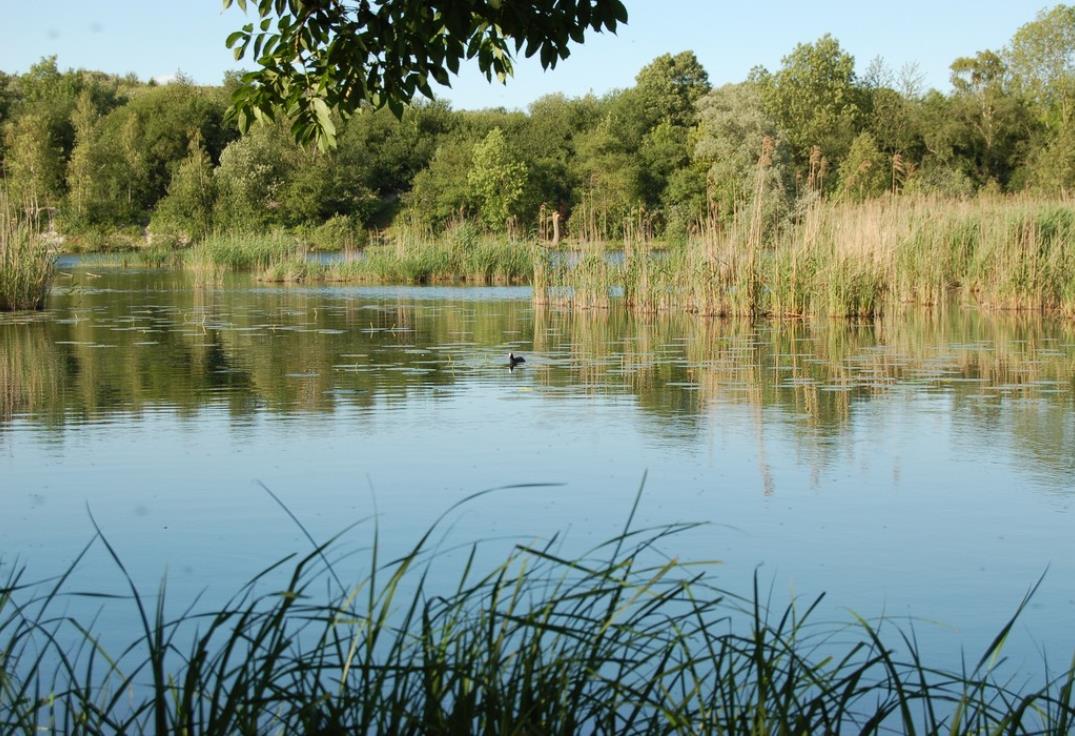
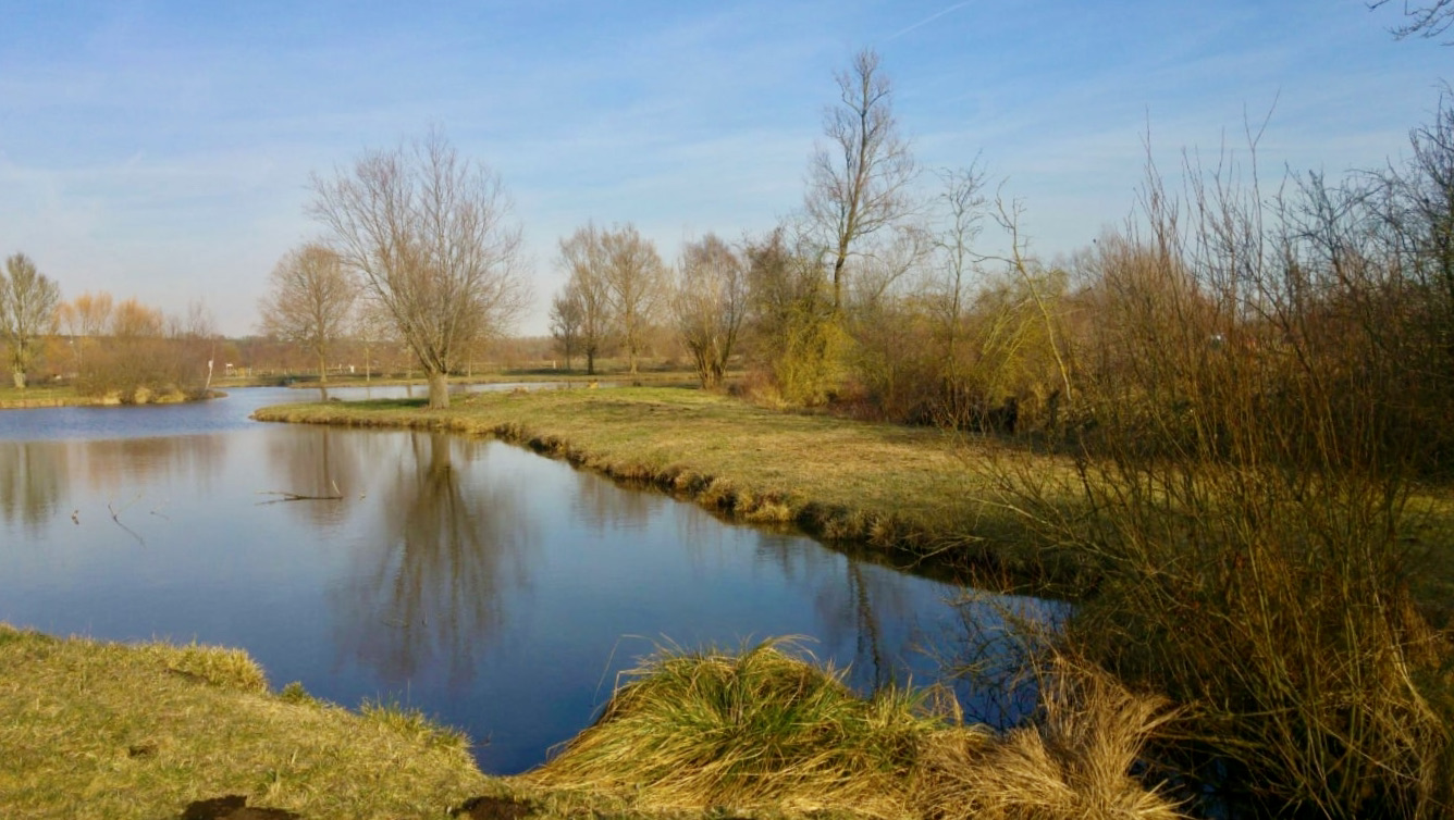
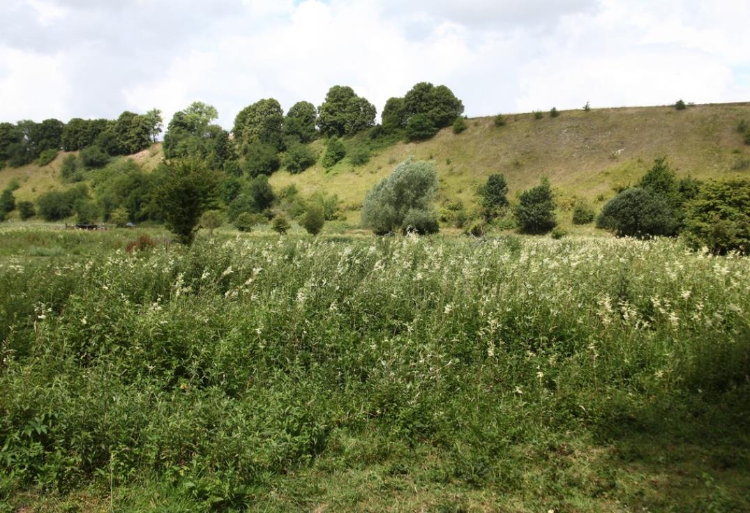
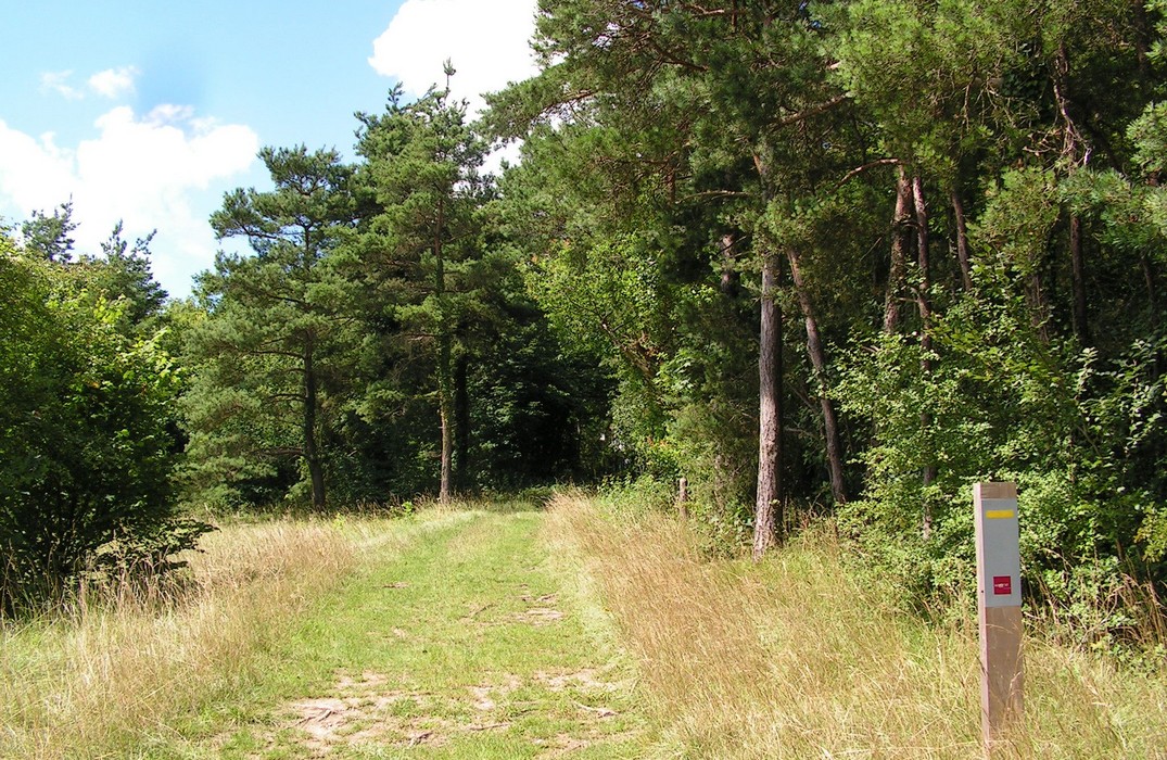
Departing from Fignières and after a brief passage on the road, this is a short loop trail on a hill covered with limestone grass, and offering a nice view of the surroundings.

Already more than 200,000 users!
Uphill
53m
Highest point
106m
Downhill
53m
Lowest point
48m
Route type
There and back
Download the map on your smartphone to save battery and rest assured to always keep access to the route, even without signal.
Includes IGN France and Swisstopo.
I indicate whether dogs are allowed or prohibited on this trail
All year
0 ratings
Also enjoy:

Already more than 200,000 users!