Uphill
73m
Length
6km
Duration
1h30min
Elev gain
73m
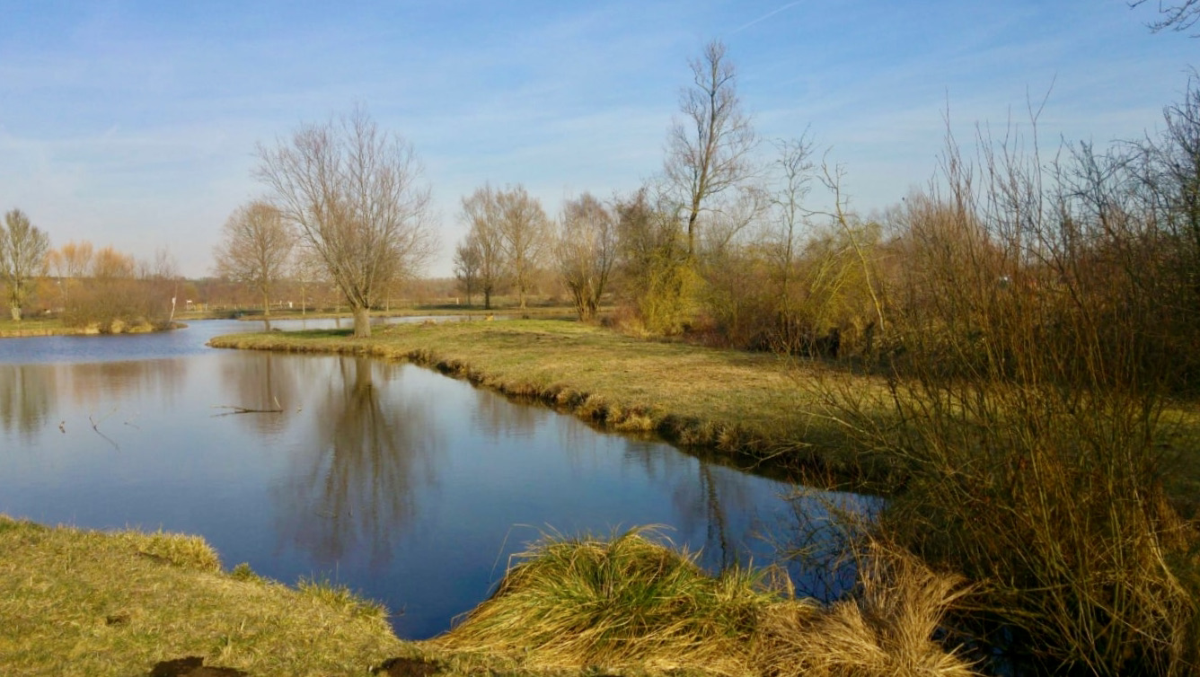
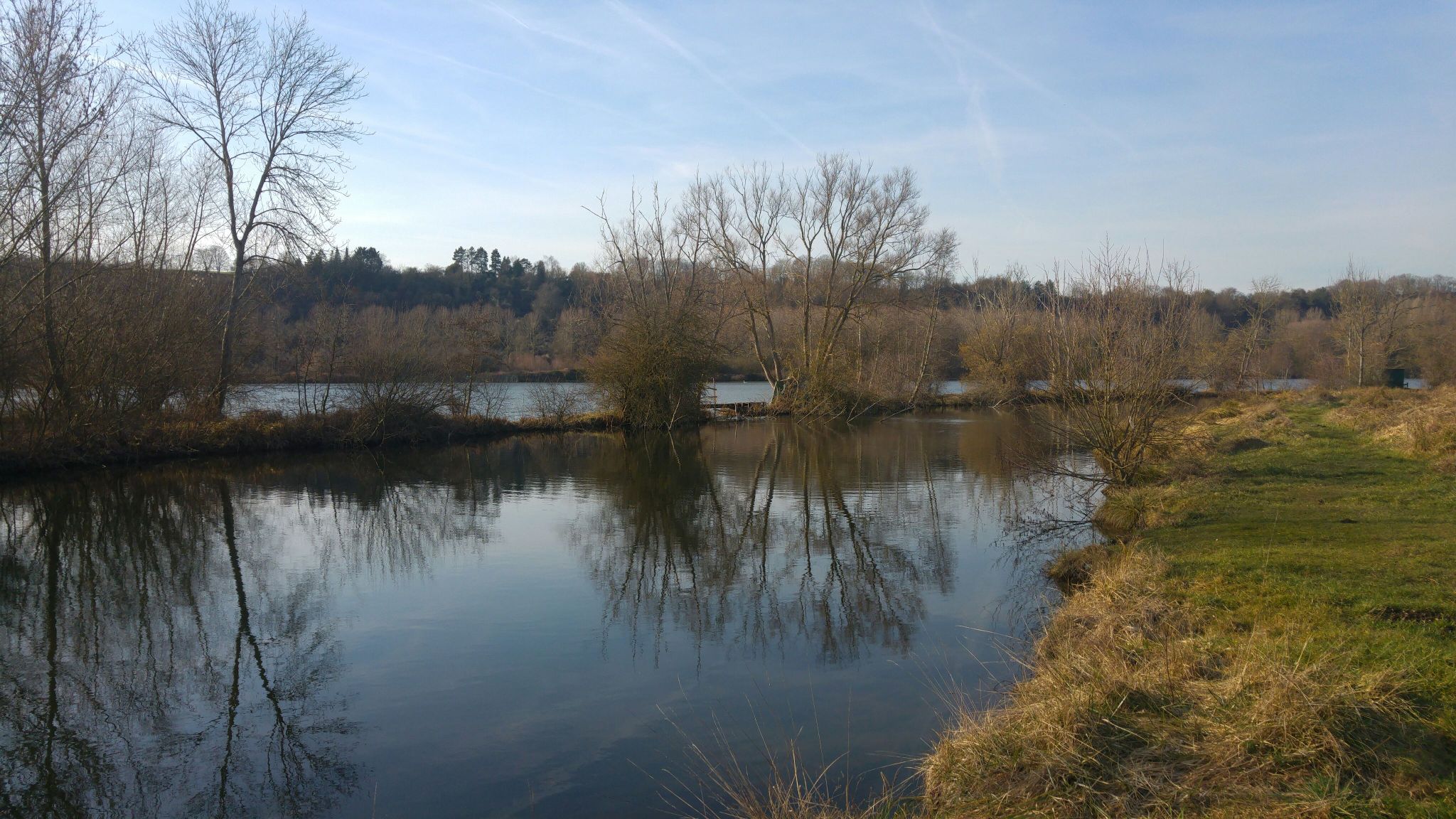
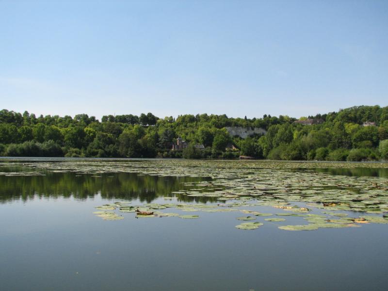
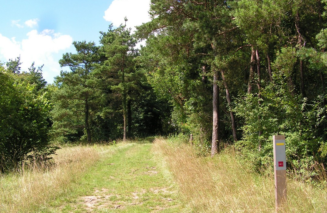
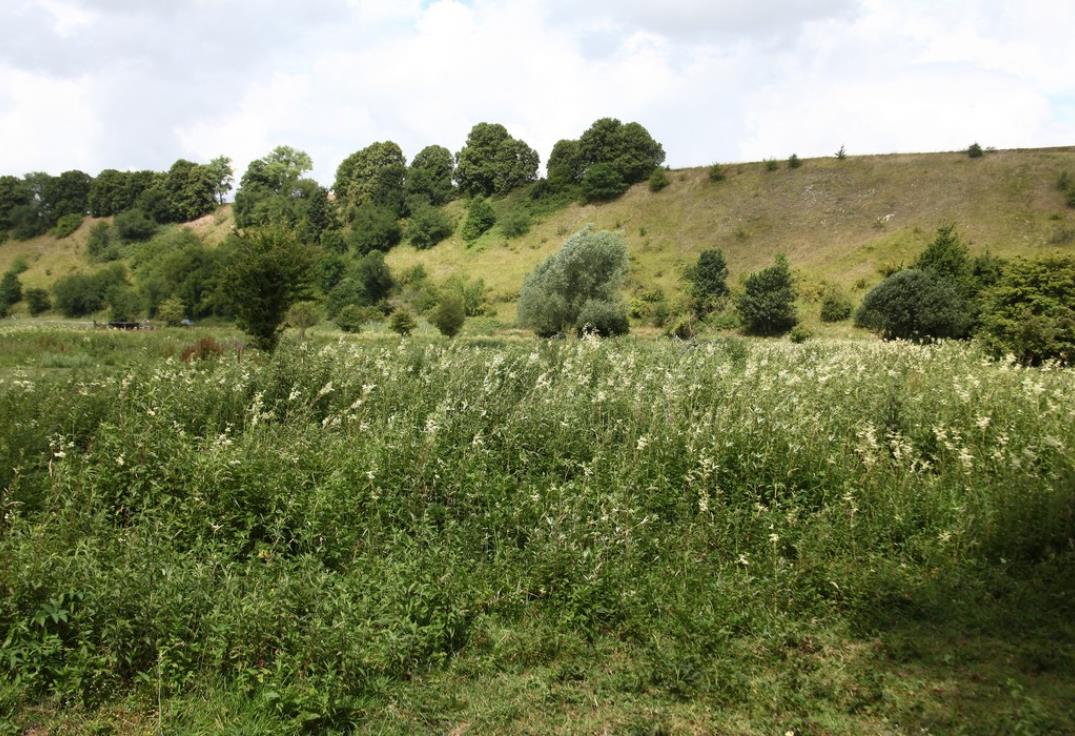
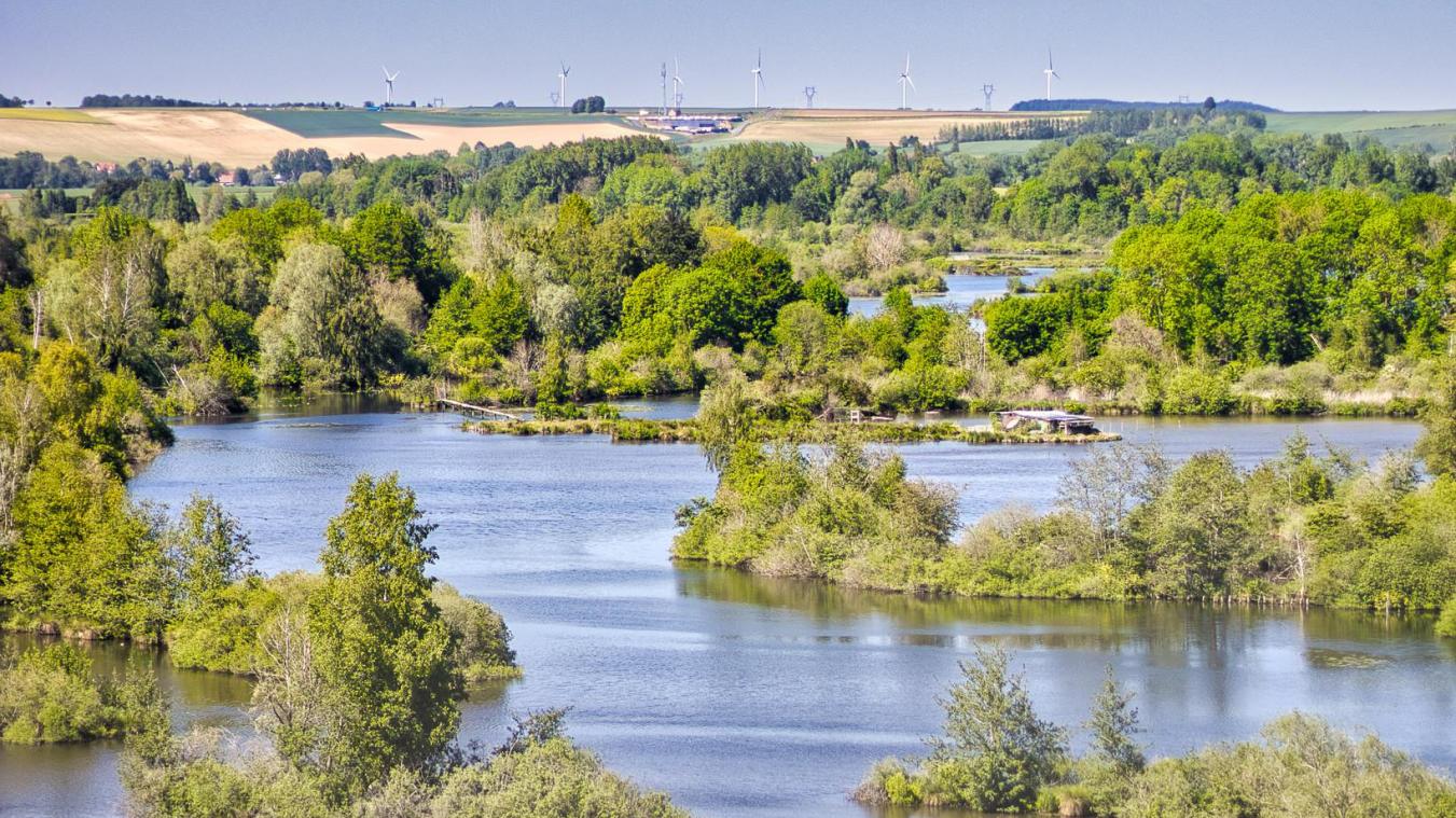
Stroll in the middle of the ponds and marshes of the Haute Somme valley, before joining a belvedere to admire this landscape from a little height.

Already more than 200,000 users!
Uphill
73m
Highest point
77m
Downhill
73m
Lowest point
26m
Route type
Loop
Download the map on your smartphone to save battery and rest assured to always keep access to the route, even without signal.
Includes IGN France and Swisstopo.
I indicate whether dogs are allowed or prohibited on this trail
All year
2 ratings
Also enjoy:

Already more than 200,000 users!