Uphill
181m
Length
14km
Duration
4h
Elev gain
181m
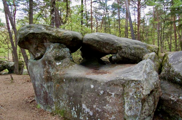
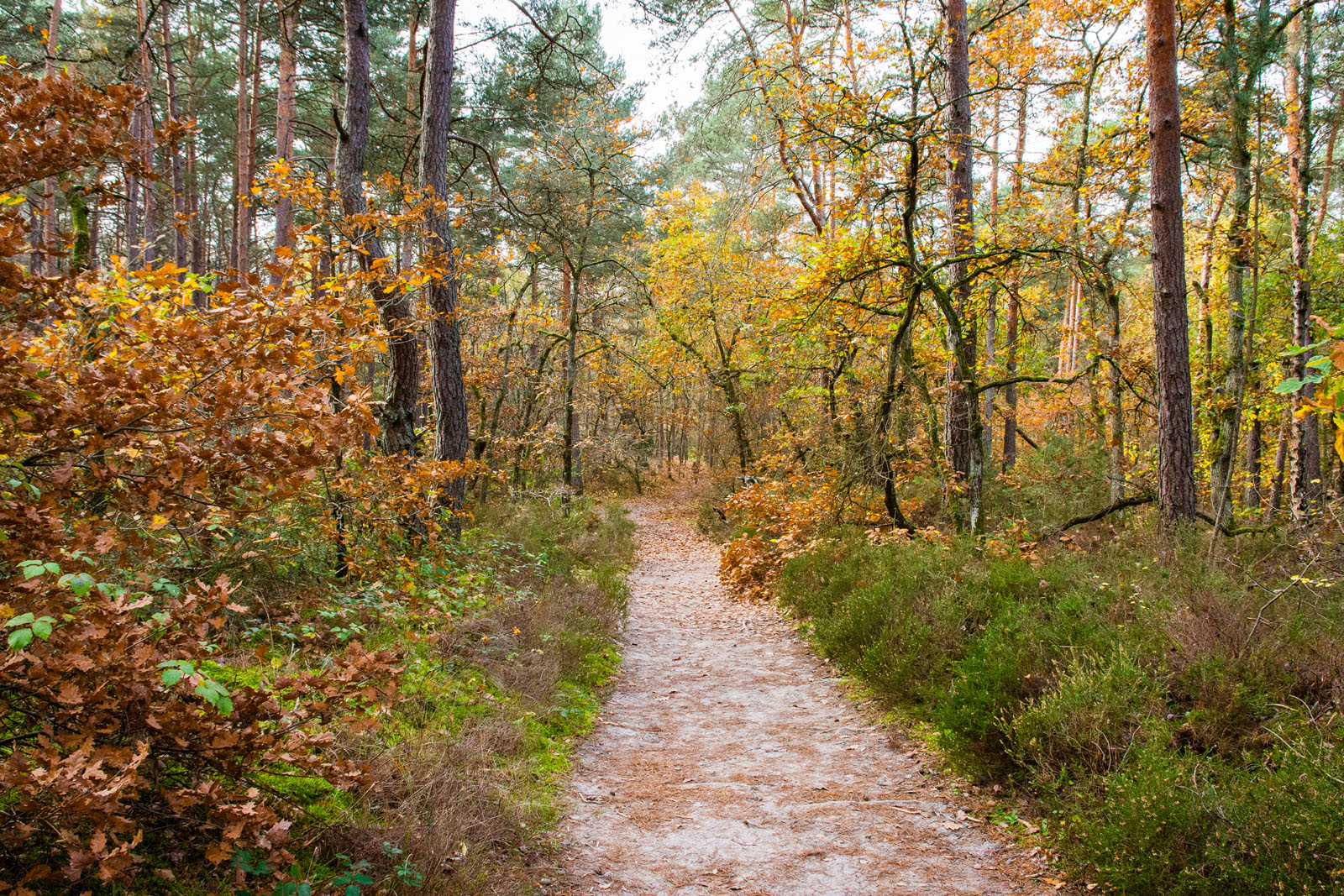
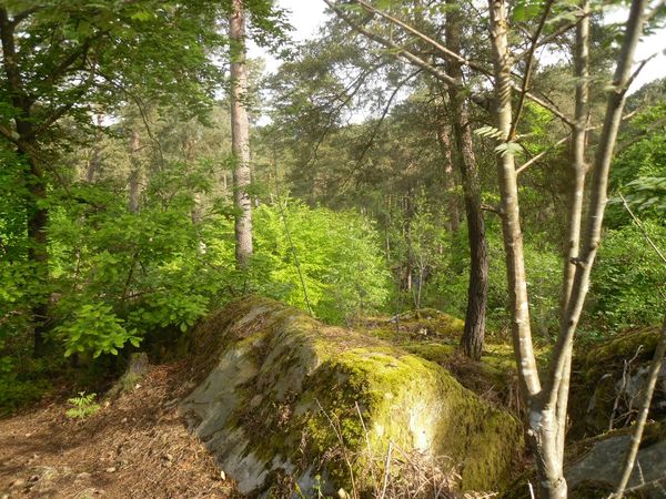
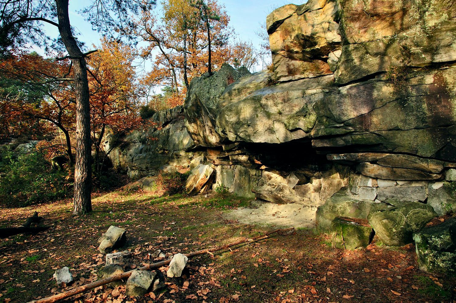
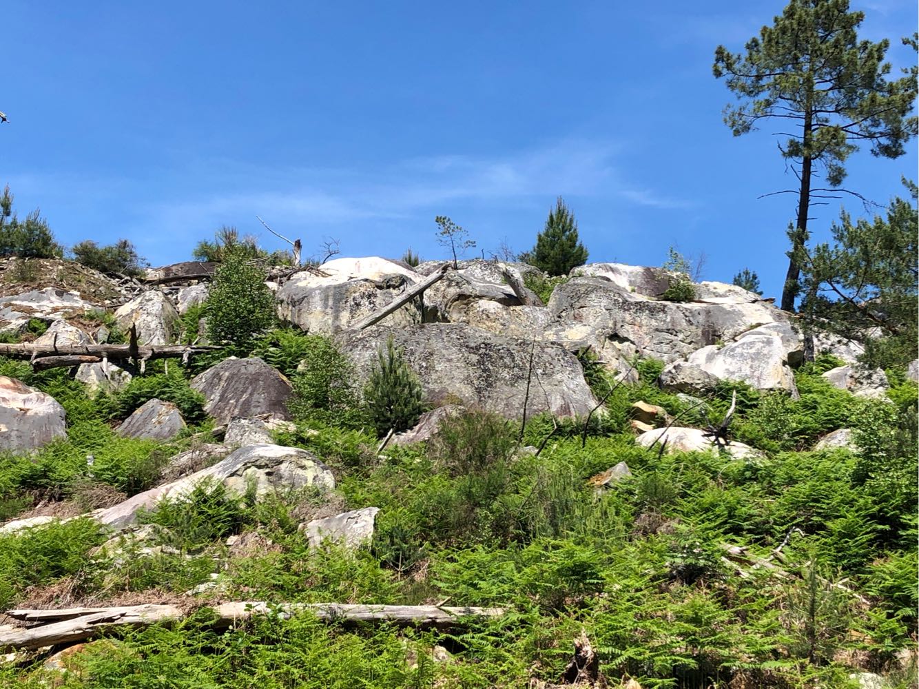
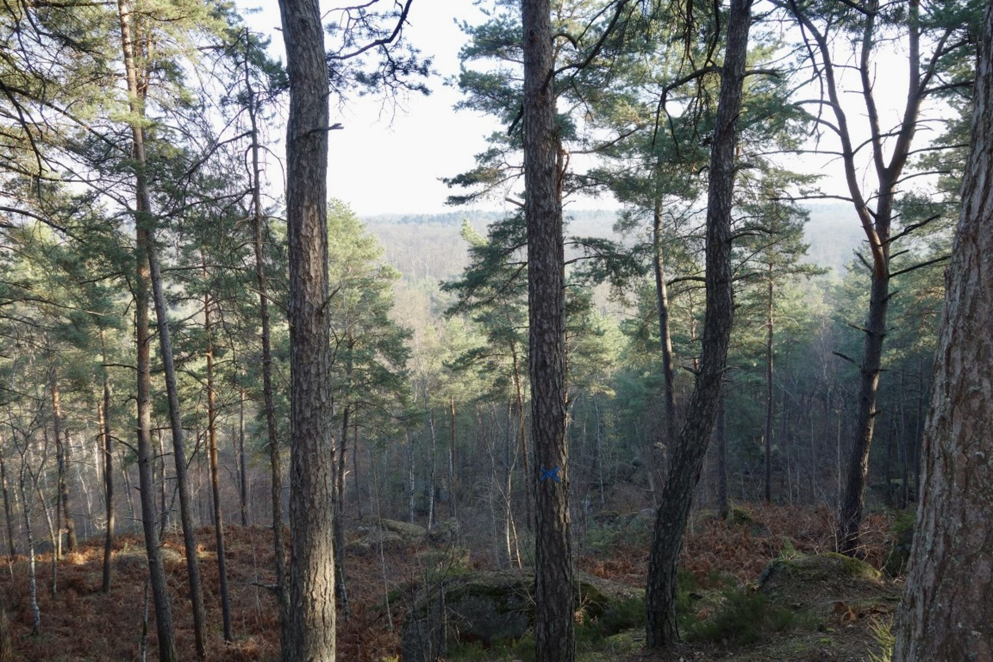
Departing from Veneux-les-Sablons station, this circuit allows you to enjoy the forest of Fontainebleau via the Rocher des Princes.

Already more than 200,000 users!
Uphill
181m
Highest point
141m
Downhill
185m
Lowest point
61m
Route type
Loop
Download the map on your smartphone to save battery and rest assured to always keep access to the route, even without signal.
Includes IGN France and Swisstopo.
I indicate whether dogs are allowed or prohibited on this trail
All year
2 ratings
Also enjoy:

Already more than 200,000 users!