Uphill
829m
Length
11km
Duration
6h
Elev gain
829m
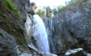
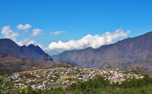
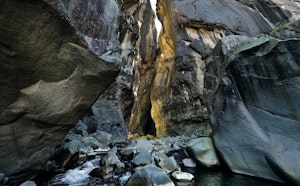
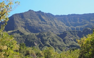
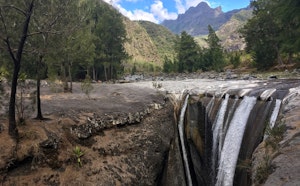
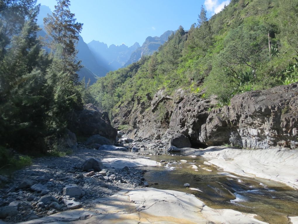
Departing from Cilaos, this is a loop allowing you to discover the Bras Rouge waterfall, then return via the Chênes plateau. Many points of view along the way.

Already more than 200,000 users!
Uphill
829m
Highest point
1394m
Downhill
829m
Lowest point
914m
Route type
Loop
Download the map on your smartphone to save battery and rest assured to always keep access to the route, even without signal.
Includes IGN France and Swisstopo.
Car parks at the start of the hike: rue des Thermes or near the church.
I indicate whether dogs are allowed or prohibited on this trail
Difficult after heavy rains
0 ratings
Also enjoy:

Already more than 200,000 users!