Uphill
412m

Length
7km
Duration
3h
Elev gain
412m
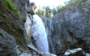
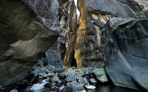
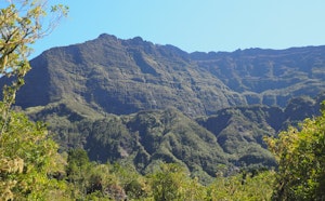
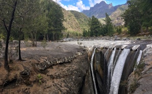
Short hike to discover the Bassin Bleu and the Roche Merveilleuse viewpoint, overlooking the Cirque de Cilaos.

Already more than 200,000 users!
Uphill
412m
Highest point
1505m
Downhill
412m
Lowest point
1222m
Route type
Loop
Download the map on your smartphone to save battery and rest assured to always keep access to the route, even without signal.
Includes IGN France and Swisstopo.
Car parks at the start of the hike: rue des Thermes or near the church.
I indicate whether dogs are allowed or prohibited on this trail
Difficult after heavy rains
1 rating
Also enjoy:

Already more than 200,000 users!