Uphill
166m
Length
3km
Duration
1h30min
Elev gain
166m
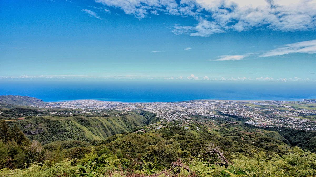
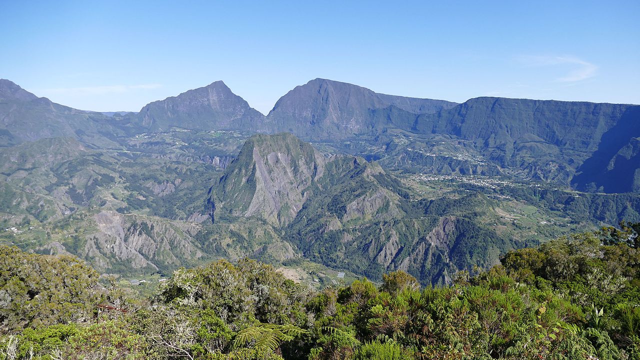
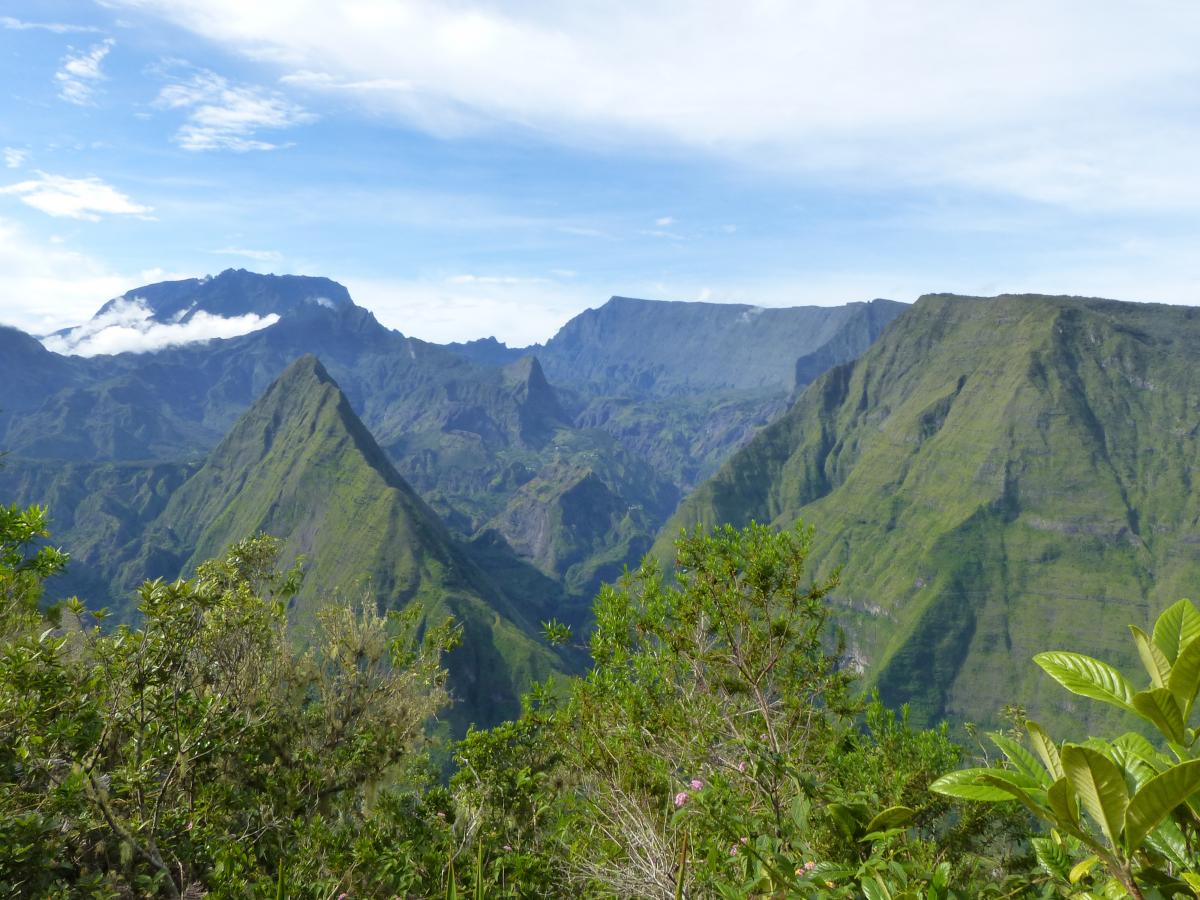
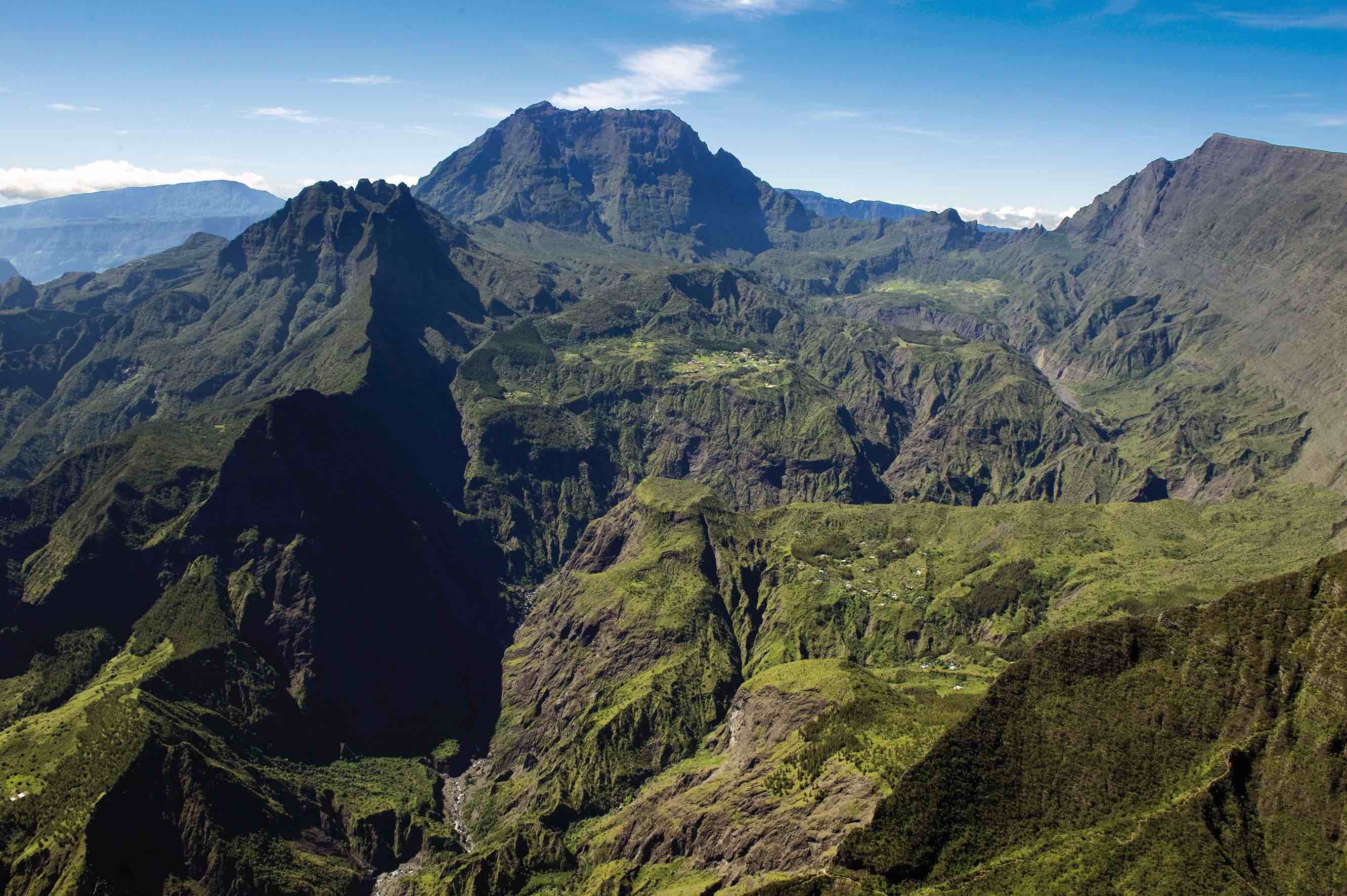
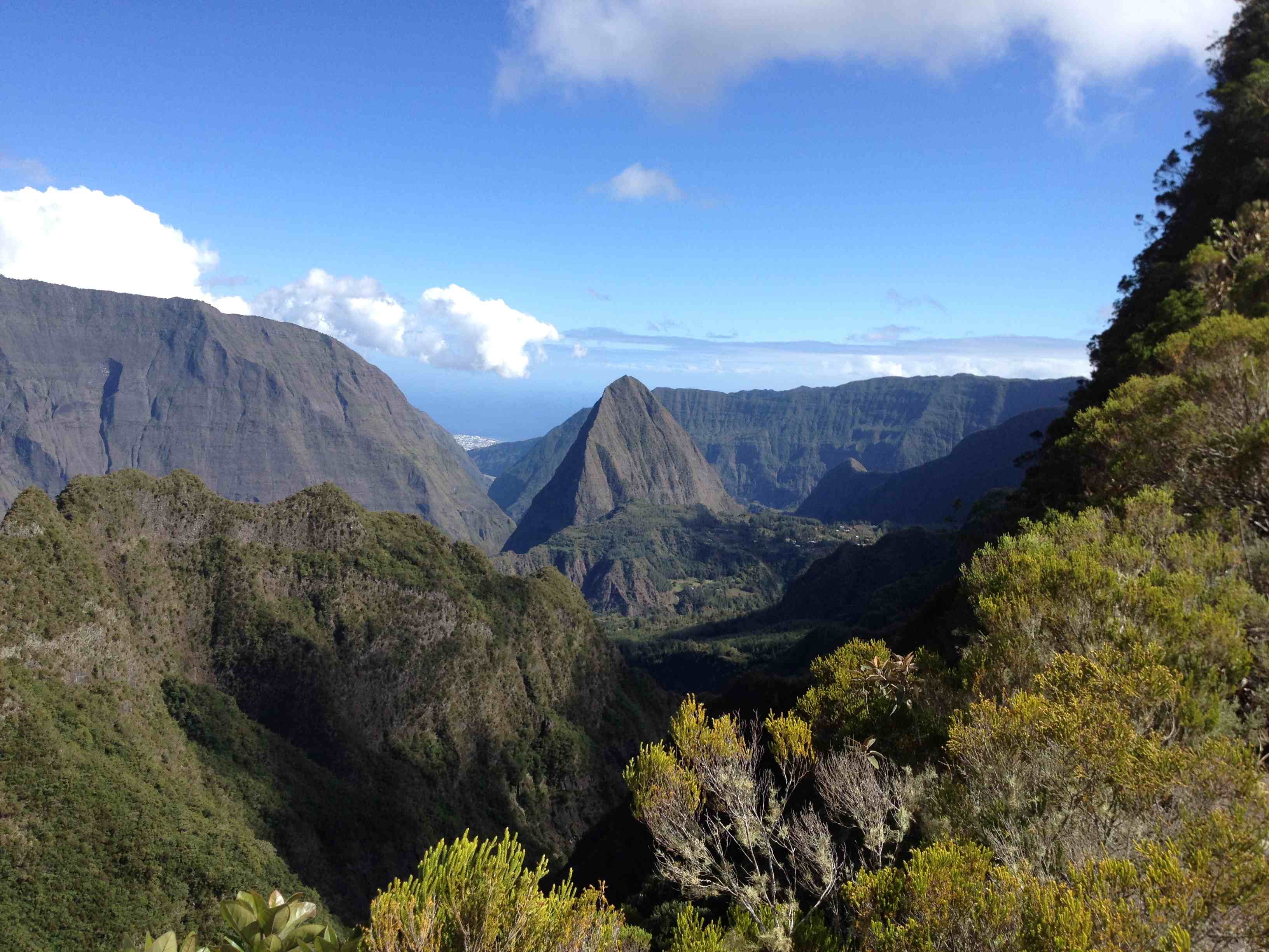
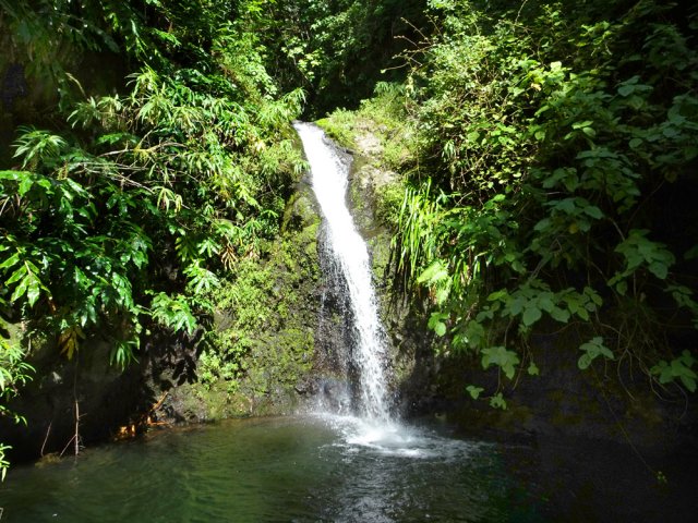
Located below Adam's Peak, this walk explores the streams and waterfalls surrounding this peak. On the program: waterfalls, streams, forest and view of the surrounding peaks.

Already more than 200,000 users!
Uphill
166m
Highest point
862m
Downhill
166m
Lowest point
721m
Route type
There and back
Download the map on your smartphone to save battery and rest assured to always keep access to the route, even without signal.
Includes IGN France and Swisstopo.
I indicate whether dogs are allowed or prohibited on this trail
Difficult after heavy rains
0 ratings
Also enjoy:

Already more than 200,000 users!