Uphill
1392m
Length
19km
Duration
10h
Elev gain
1392m
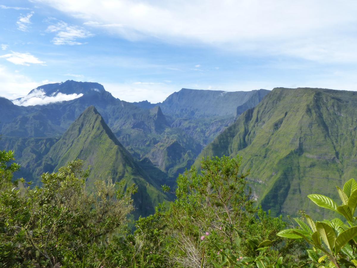
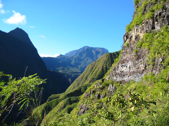
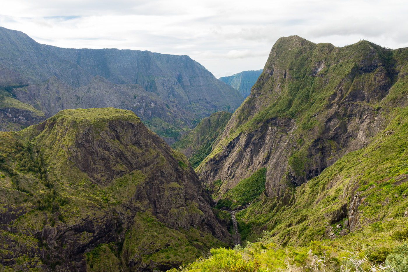
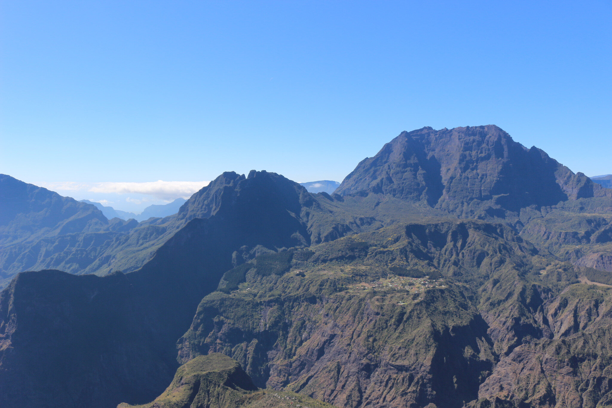
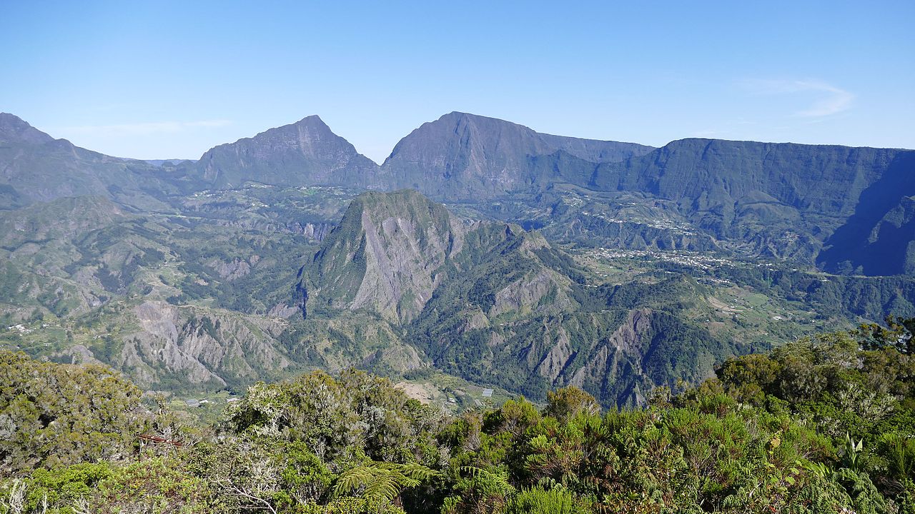
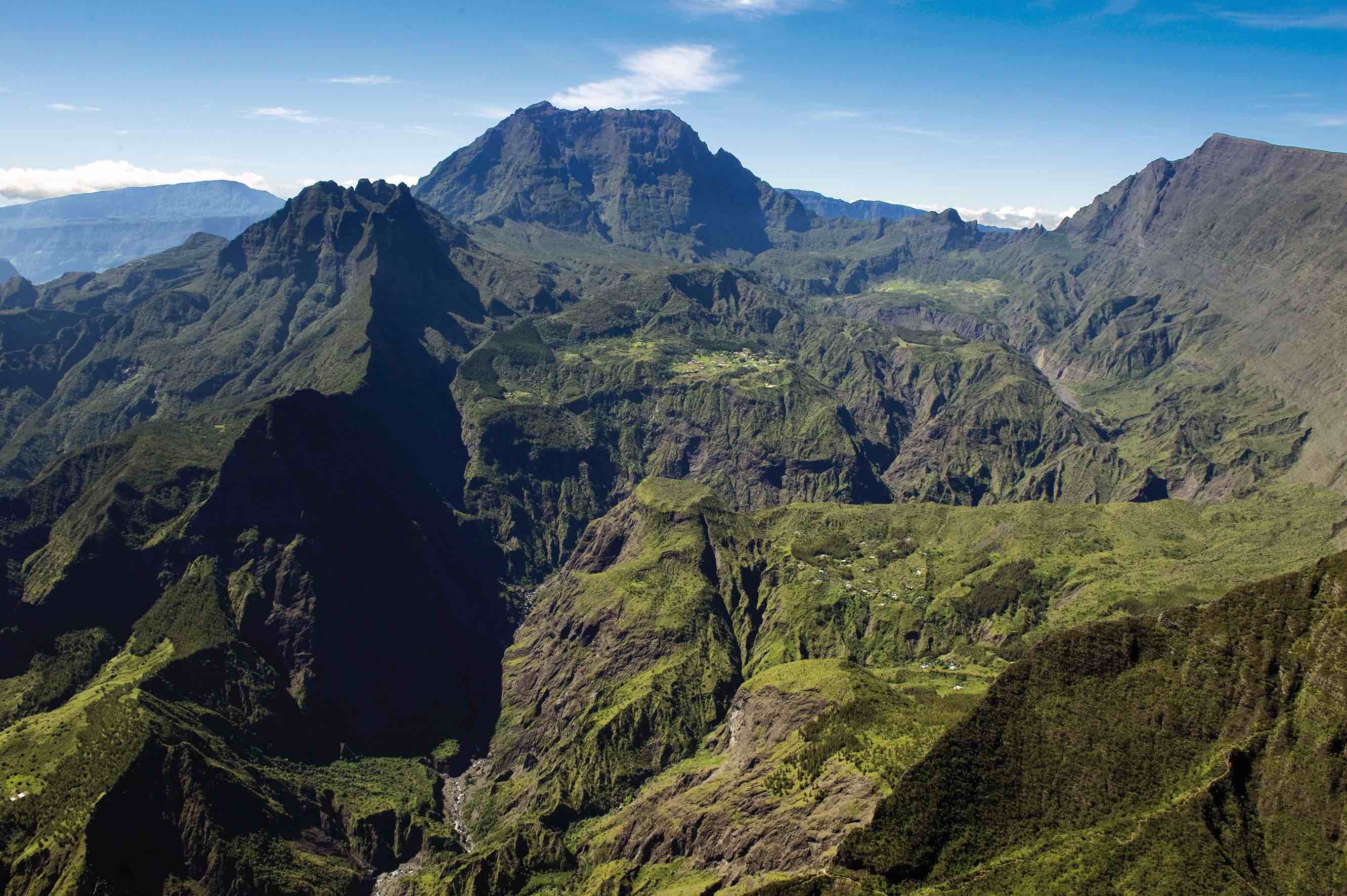
Magnificent landscapes for this sporty, long and steep hike. Several options for overnight stops, this route passing through Cayenne, Grand Place, Îlet à Bourse and Îlet à Malheur.

Already more than 200,000 users!
Uphill
1392m
Highest point
950m
Downhill
1392m
Lowest point
262m
Route type
Loop
Download the map on your smartphone to save battery and rest assured to always keep access to the route, even without signal.
Includes IGN France and Swisstopo.
To get to the Deux Bras departure point, it is necessary to book an off-road taxi from the village of Rivière Des Galets.
Authorised
Difficult after heavy rains
0 ratings
Also enjoy:

Already more than 200,000 users!