Uphill
1559m

Length
13km
Duration
10h
Elev gain
1559m
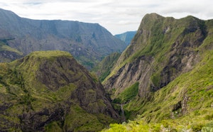
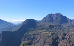
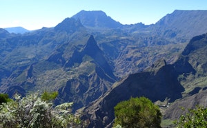
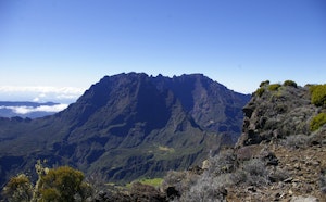
From Maïdo, this is a challenging round trip to the Île des Orangers. Superb panoramas on the Cirque de Mafate.

Already more than 200,000 users!
Uphill
1559m
Highest point
2160m
Downhill
1559m
Lowest point
904m
Route type
There and back
Download the map on your smartphone to save battery and rest assured to always keep access to the route, even without signal.
Includes IGN France and Swisstopo.
Authorised
Difficult after heavy rains
1 rating
Also enjoy:

Already more than 200,000 users!