Uphill
401m
Length
6km
Duration
3h
Elev gain
401m
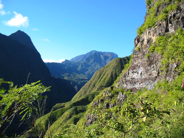
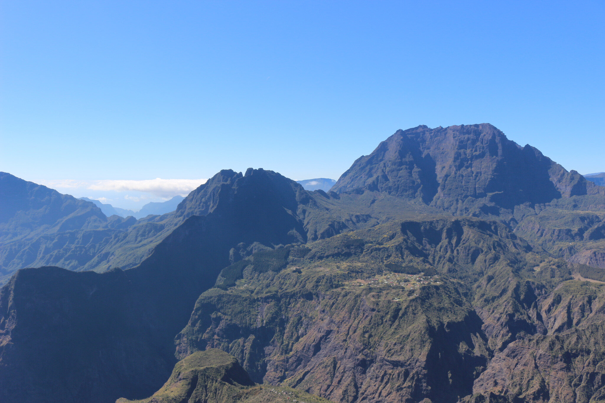
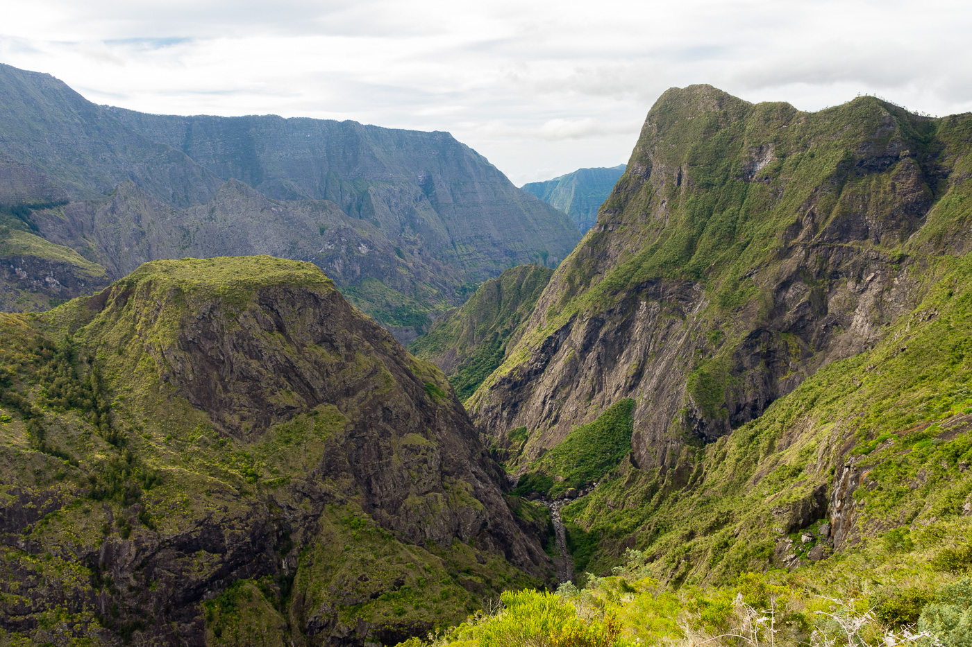
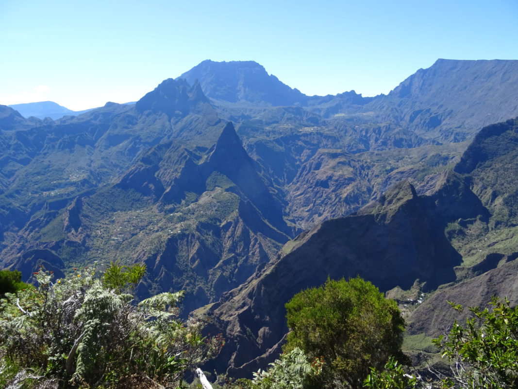
Here is a hike starting from Maïdo, a peak located at an altitude of 2,190 meters and offering a magnificent panorama of the Cirque de Mafate. The route leads to Piton des Orangers, on the crest of Orangers, before returning by the same path.

Already more than 200,000 users!
Uphill
401m
Highest point
2185m
Downhill
401m
Lowest point
1907m
Route type
There and back
Download the map on your smartphone to save battery and rest assured to always keep access to the route, even without signal.
Includes IGN France and Swisstopo.
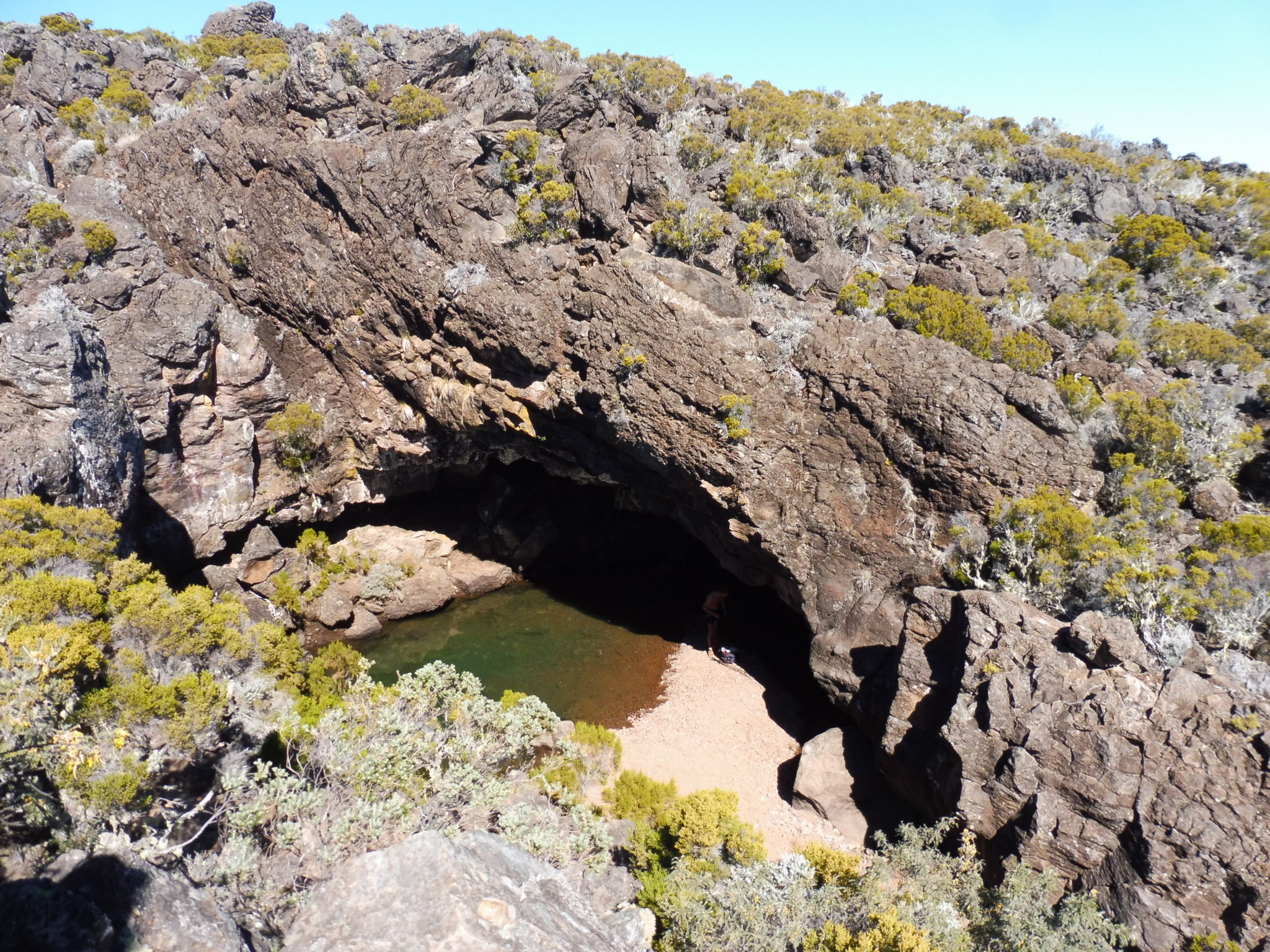
Authorised
Difficult after heavy rains
6 ratings
Also enjoy:

Already more than 200,000 users!