Uphill
367m
Length
11km
Duration
3h30min
Elev gain
367m
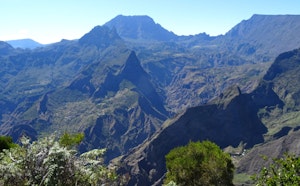
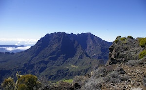
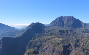
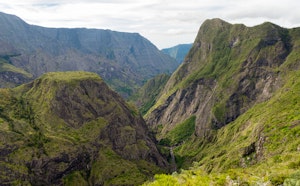
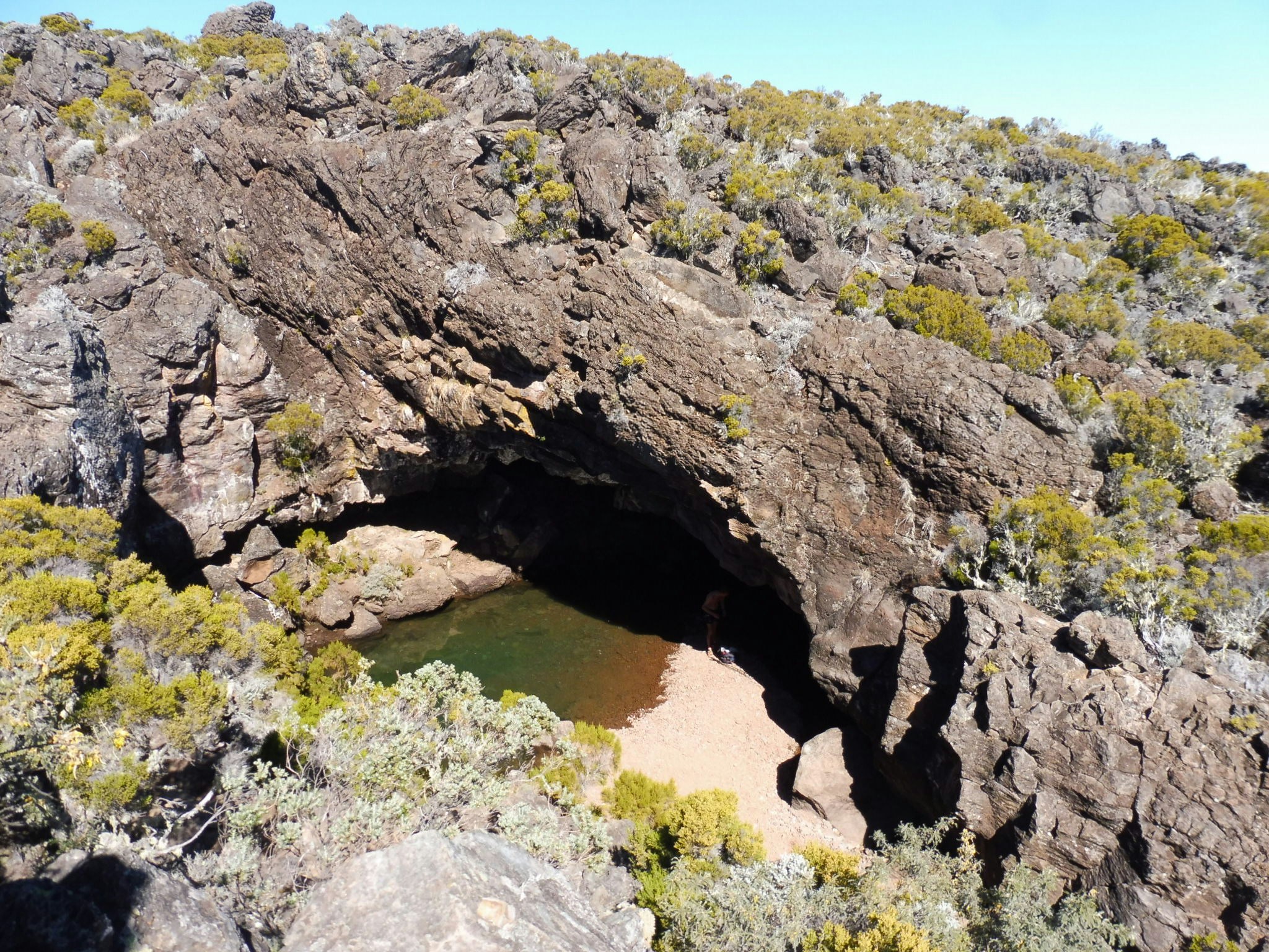
Round trip to a cave previously used for ice storage. Nice views of the Mafate cirque and the sea along the way.
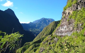
The track route can be monotonous, but it is possible to return via the Grand Bord trail for more variety.

Already more than 200,000 users!
Uphill
367m
Highest point
2497m
Downhill
367m
Lowest point
2155m
Route type
There and back
Download the map on your smartphone to save battery and rest assured to always keep access to the route, even without signal.
Includes IGN France and Swisstopo.
Authorised
Difficult after heavy rains
0 ratings
Also enjoy:

Already more than 200,000 users!