Uphill
1643m

Length
16km
Duration
11h
Elev gain
1643m
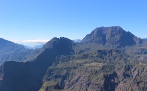
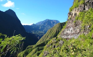
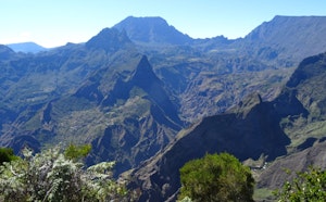
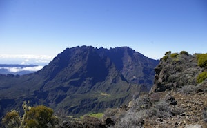
Departing from Maïdo, this challenging hike is spectacular. The path leads to Bronchard (1,266 m) passing by the Brèche and Roche Plate, then goes around it before returning towards the starting point. The views of the Cirque de Mafate are breathtaking.

Already more than 200,000 users!
Uphill
1643m
Highest point
2188m
Downhill
1643m
Lowest point
1088m
Route type
There and back
Download the map on your smartphone to save battery and rest assured to always keep access to the route, even without signal.
Includes IGN France and Swisstopo.
Authorised
Difficult after heavy rains
0 ratings
Also enjoy:

Already more than 200,000 users!