Uphill
294m
Length
3km
Duration
2h
Elev gain
294m
⚠️ In 2023, this trail was closed by prefectural decree.
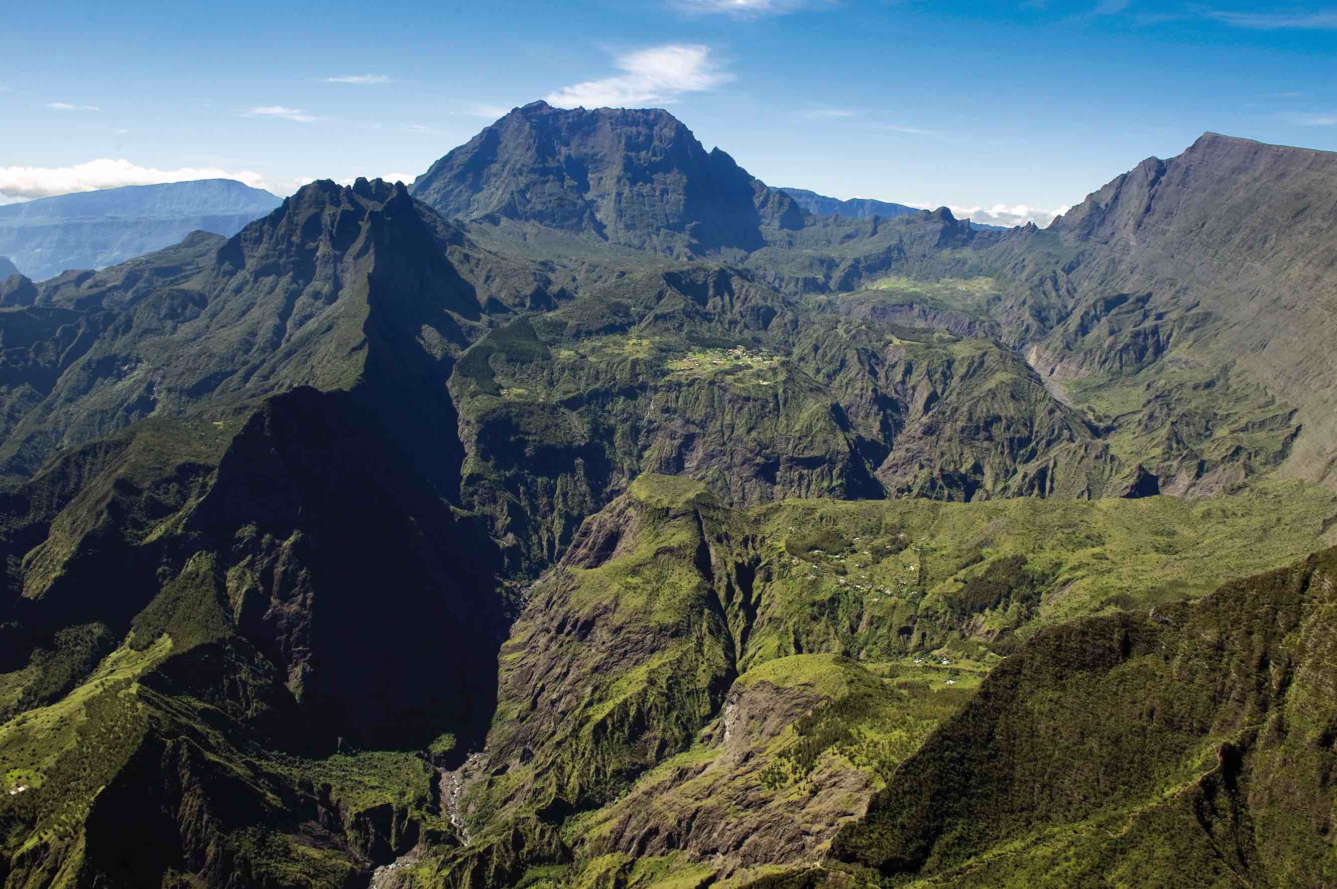
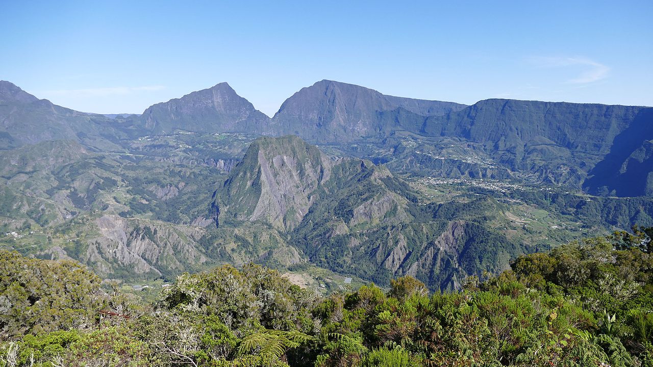
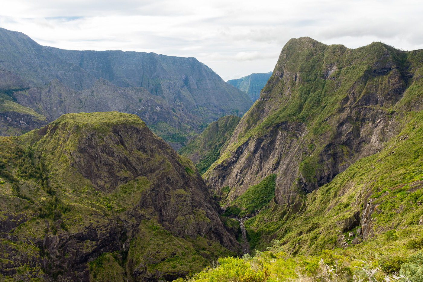
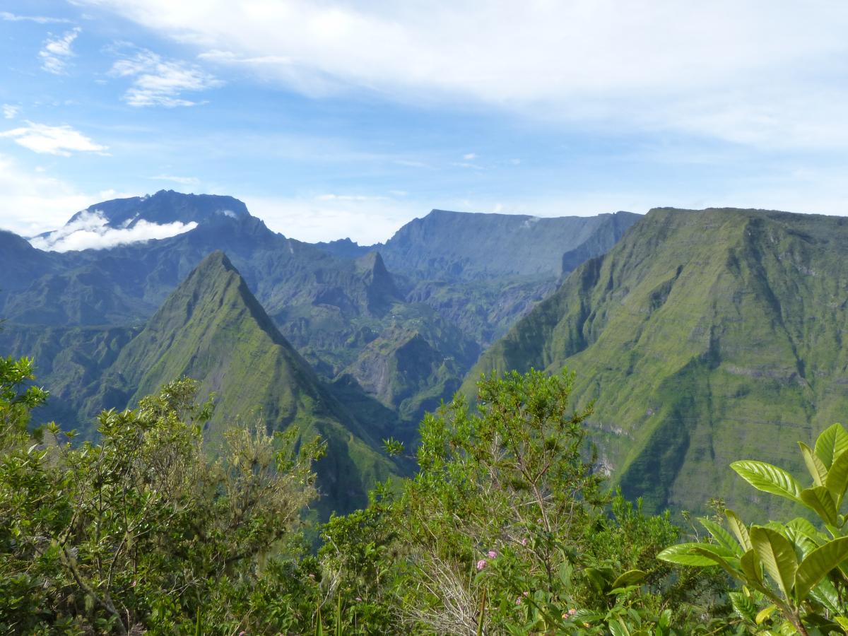
Here is a short loop passing through the Cap Noir and the Roche Verre Bouteille, two exceptional points of view on the cirque of Mafate. For such a small effort, it would be wrong to do without.

Already more than 200,000 users!
Uphill
294m
Highest point
1278m
Downhill
294m
Lowest point
1073m
Route type
Loop
Download the map on your smartphone to save battery and rest assured to always keep access to the route, even without signal.
Includes IGN France and Swisstopo.
I indicate whether dogs are allowed or prohibited on this trail
Difficult after heavy rains
5 ratings
Also enjoy:

Already more than 200,000 users!