Uphill
259m
Length
3km
Duration
1h30min
Elev gain
259m
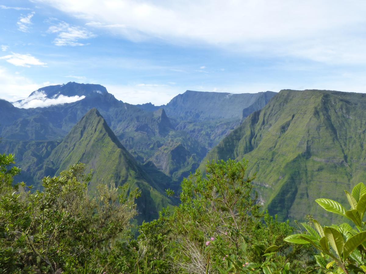
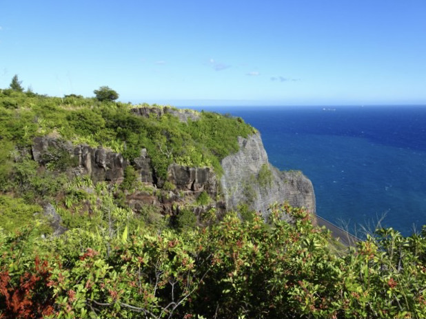
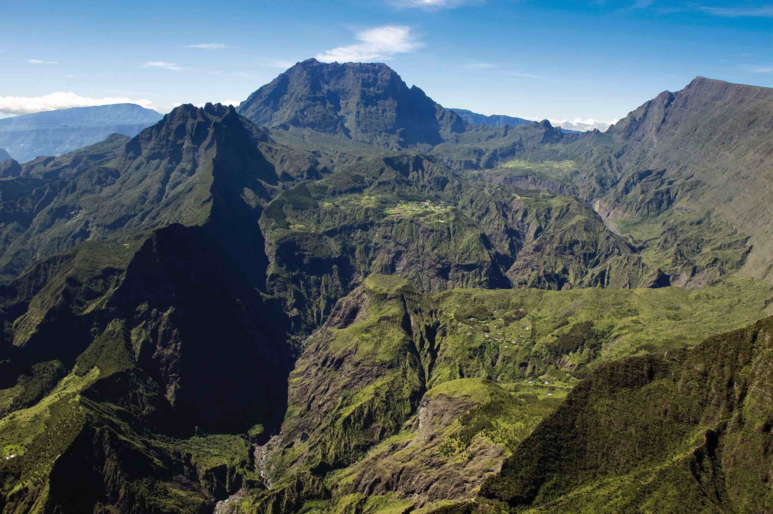
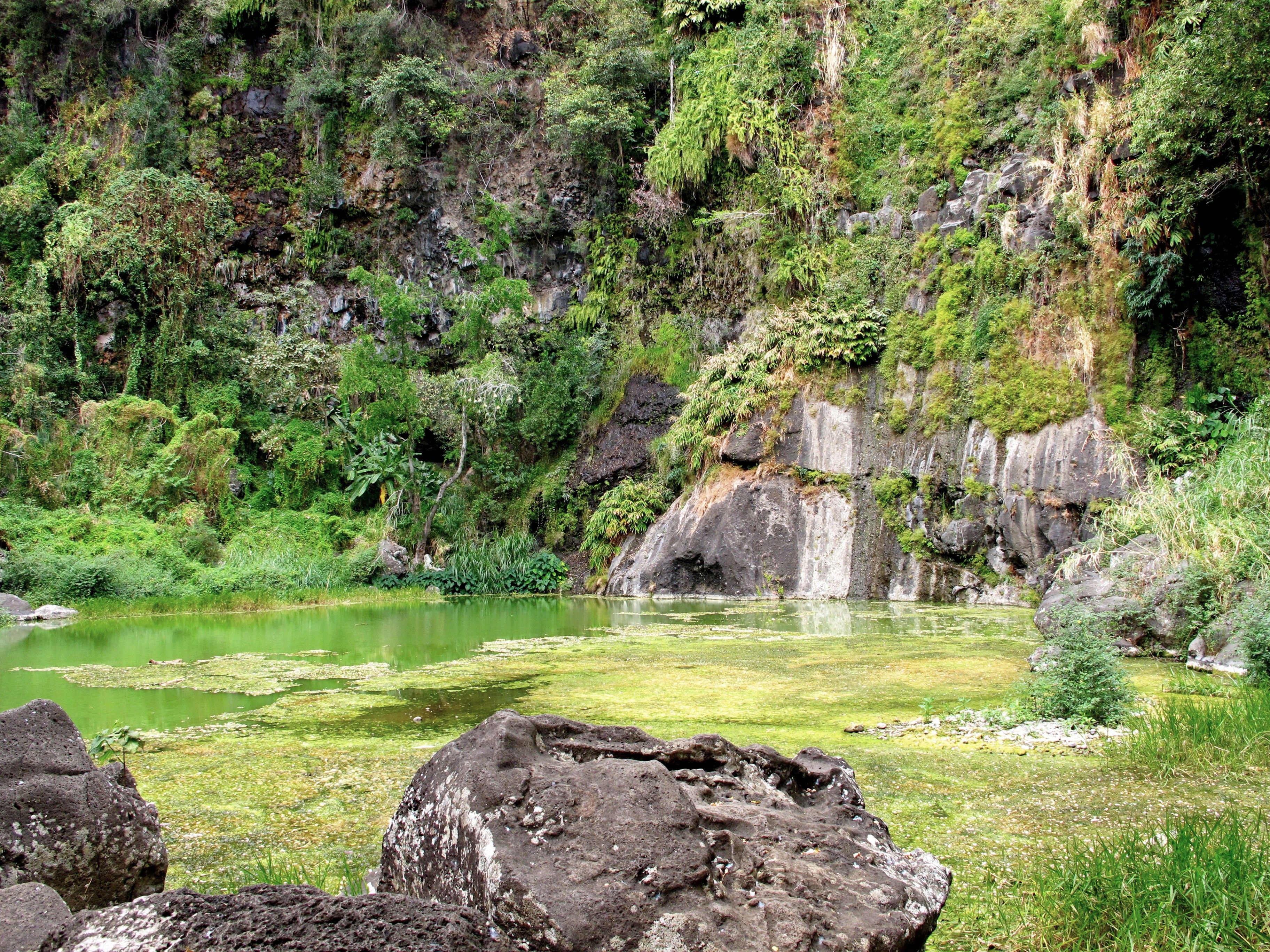
Nice little hike around the Vital basin. The route makes a loop on a pretty path and does not present any particular difficulty, all in a superb natural environment.

Already more than 200,000 users!
Uphill
259m
Highest point
268m
Downhill
259m
Lowest point
6m
Route type
Loop
Download the map on your smartphone to save battery and rest assured to always keep access to the route, even without signal.
Includes IGN France and Swisstopo.
I indicate whether dogs are allowed or prohibited on this trail
Difficult after heavy rains
0 ratings
Also enjoy:

Already more than 200,000 users!