Uphill
982m

Length
17km
Duration
7h30min
Elev gain
982m
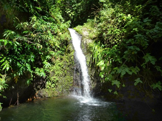
Departing from La Possession, this route joins the Grande Chaloupe before climbing to the Ravine à Jacques viewpoint. The cumulative difference in altitude is high, and this outing is therefore reserved for experienced hikers.

Already more than 200,000 users!
Uphill
982m
Highest point
380m
Downhill
982m
Lowest point
6m
Route type
There and back
Download the map on your smartphone to save battery and rest assured to always keep access to the route, even without signal.
Includes IGN France and Swisstopo.
I indicate whether dogs are allowed or prohibited on this trail
All year
1 rating
Also enjoy:

Already more than 200,000 users!