Uphill
150m

Length
3km
Duration
1h
Elev gain
150m
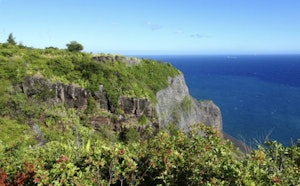
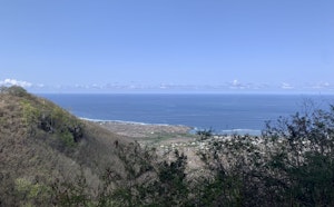
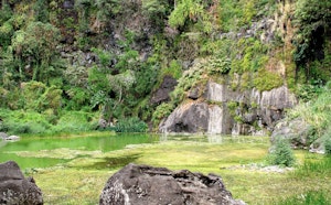
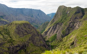
Family walk along the Prune canal, in the Saint-Gilles ravine. The trail first overlooks the area as far as the Malheur basin, before returning below to the Cormorants basin.

Already more than 200,000 users!
Uphill
150m
Highest point
176m
Downhill
150m
Lowest point
74m
Route type
Loop
Download the map on your smartphone to save battery and rest assured to always keep access to the route, even without signal.
Includes IGN France and Swisstopo.
I indicate whether dogs are allowed or prohibited on this trail
Difficult after heavy rains
3 ratings
Also enjoy:

Already more than 200,000 users!