Uphill
242m

Length
6km
Duration
2h
Elev gain
242m
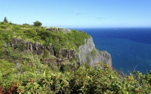
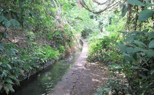
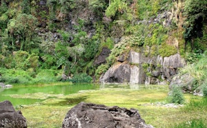
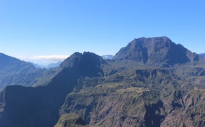
Nice hike where the views of the sea are at the rendezvous. The trail winds around the Tabac ravine and can be steep in places; Good physical condition is therefore essential for this route.

Already more than 200,000 users!
Uphill
242m
Highest point
293m
Downhill
242m
Lowest point
78m
Route type
Loop
Download the map on your smartphone to save battery and rest assured to always keep access to the route, even without signal.
Includes IGN France and Swisstopo.
I indicate whether dogs are allowed or prohibited on this trail
Difficult after heavy rains
2 ratings
Also enjoy:

Already more than 200,000 users!