Uphill
600m
Length
13km
Duration
5h
Elev gain
600m
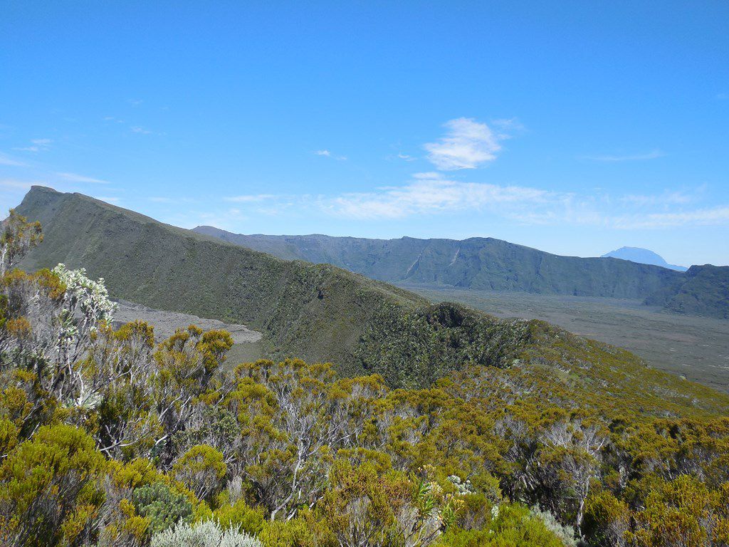
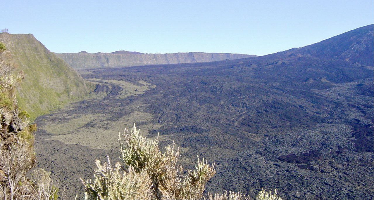
From Foc Foc, this is a hike leading to Piton de Bert, located at 2,274 meters above sea level. This round trip offers superb views of the Enclos Fouqué and the region of the Plaine des Sables.

Already more than 200,000 users!
Uphill
600m
Highest point
2360m
Downhill
600m
Lowest point
2188m
Route type
There and back
Download the map on your smartphone to save battery and rest assured to always keep access to the route, even without signal.
Includes IGN France and Swisstopo.
Authorised
Difficult after heavy rains
0 ratings
Also enjoy:

Already more than 200,000 users!