Uphill
548m
Length
10km
Duration
4h
Elev gain
548m
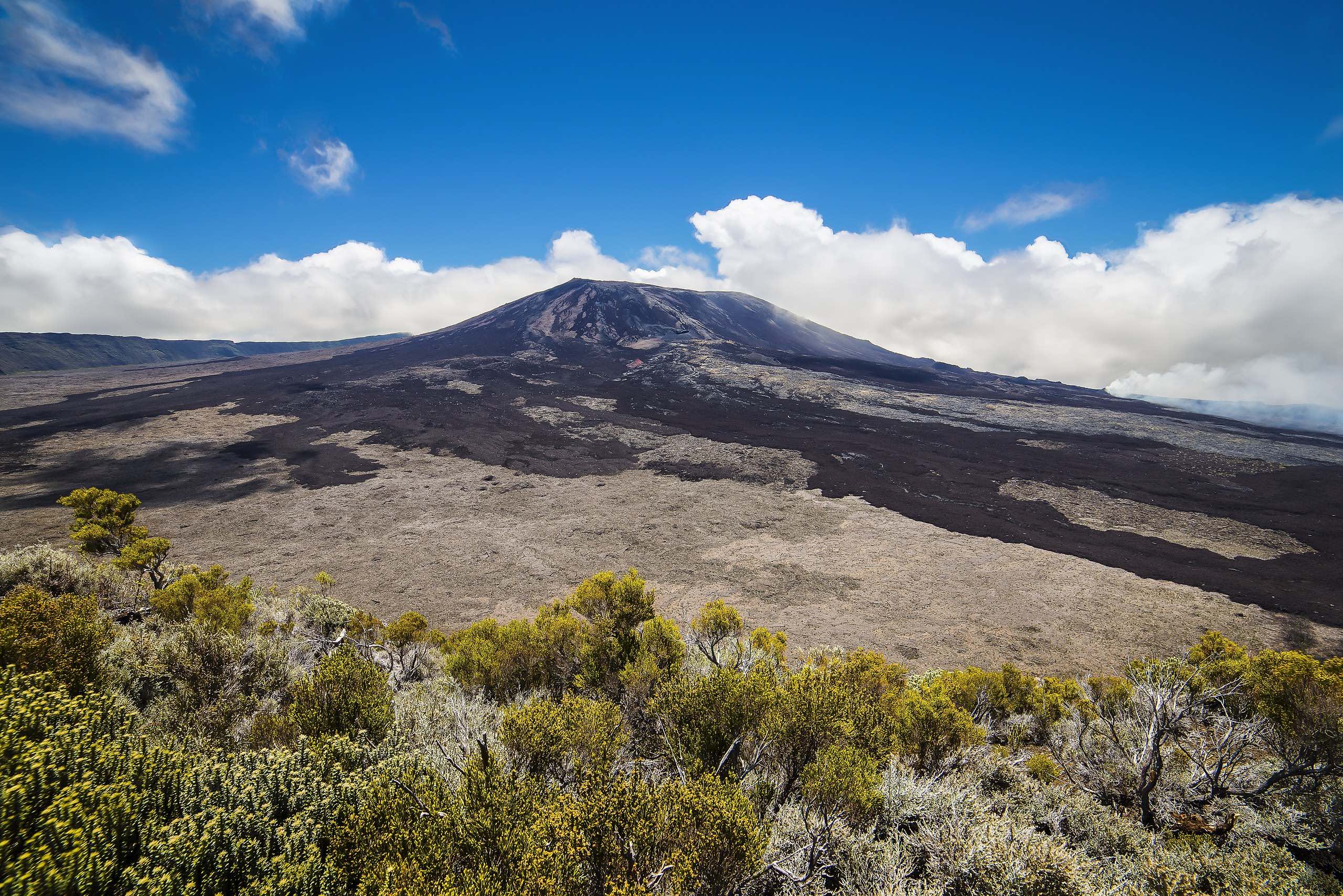
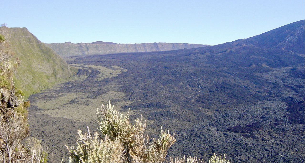
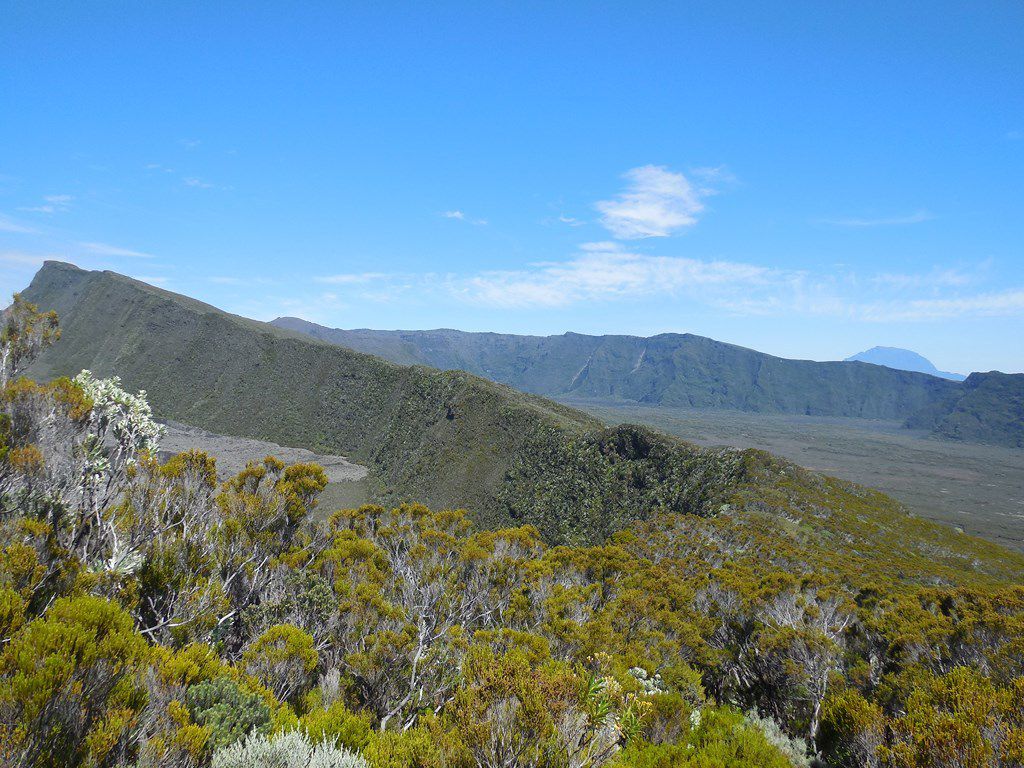
This round trip always offers pretty views of the Piton de la Fournaise, then leads to the magnificent panorama at the Nez Coupé of Sainte-Rose.

Already more than 200,000 users!
Uphill
548m
Highest point
2358m
Downhill
548m
Lowest point
2016m
Route type
There and back
Download the map on your smartphone to save battery and rest assured to always keep access to the route, even without signal.
Includes IGN France and Swisstopo.
Authorised
Difficult after heavy rains
0 ratings
Also enjoy:

Already more than 200,000 users!