Uphill
223m

Length
9km
Duration
3h
Elev gain
223m
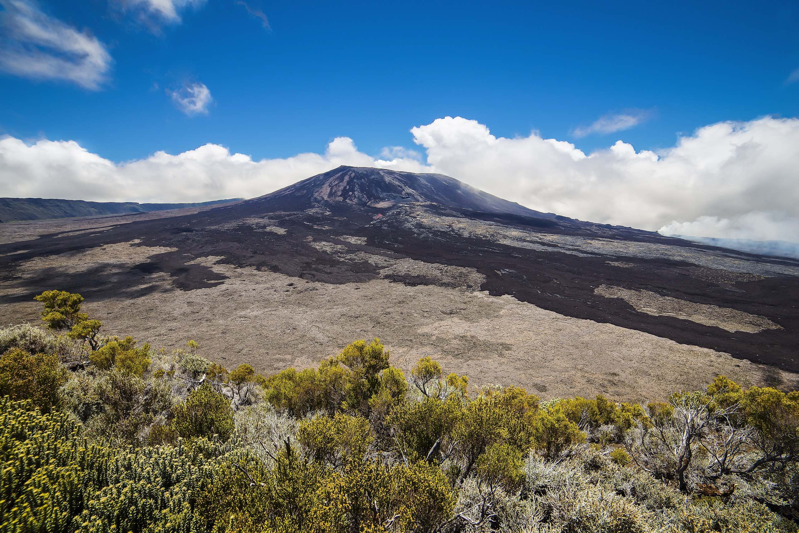
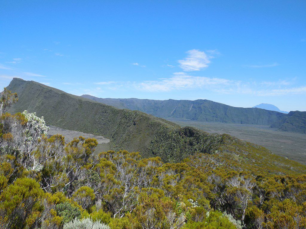
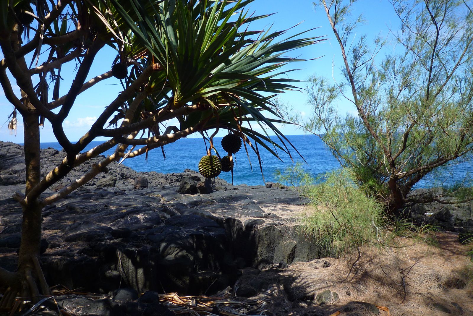
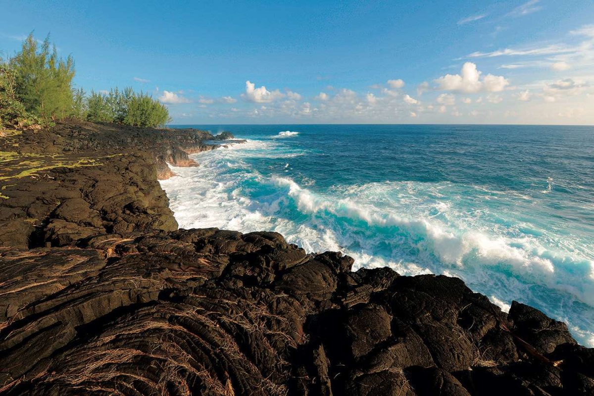
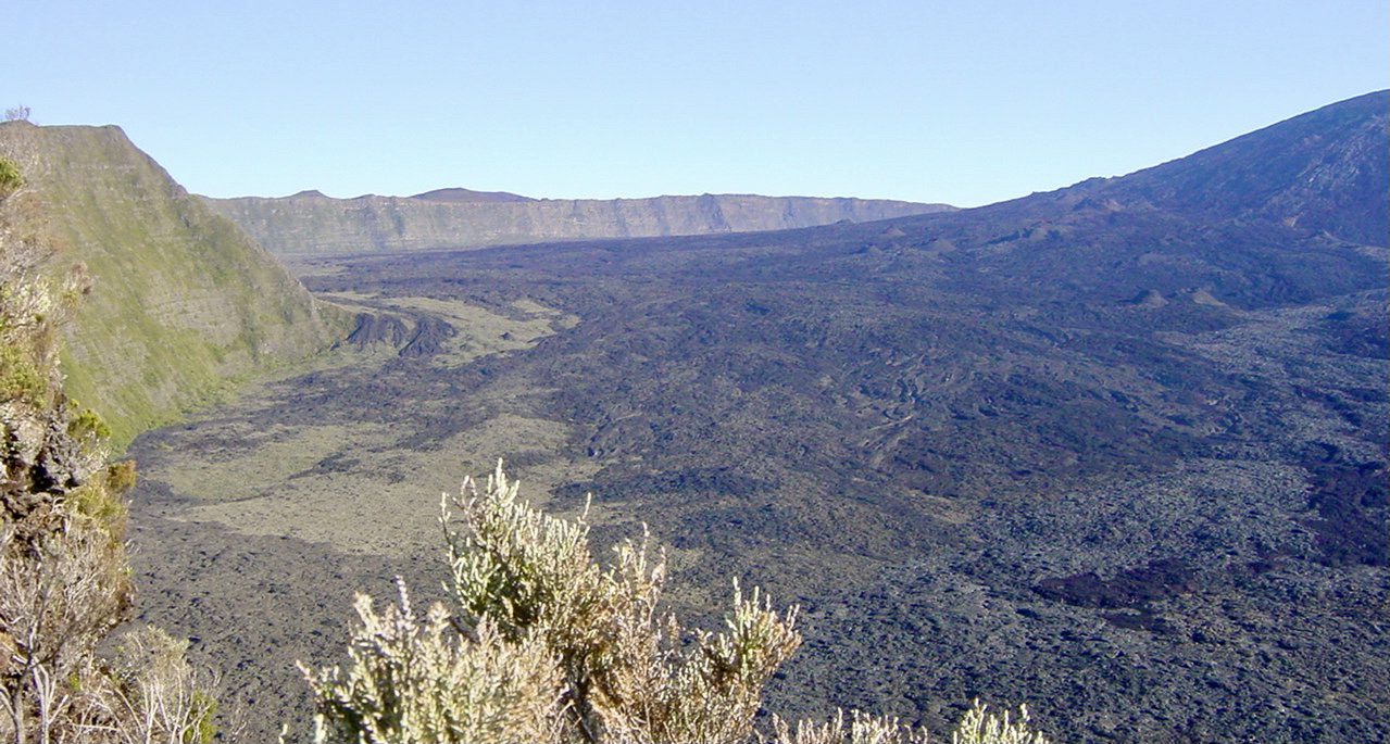
Superb hike located north of Bois-Blanc. This route follows a coastal path leading to the 1977 lava flow, on volcanic ground which can be slippery in wet weather. Then the route ends with an ascent of the Gros Piton.

Already more than 200,000 users!
Uphill
223m
Highest point
163m
Downhill
223m
Lowest point
0m
Route type
Loop
Download the map on your smartphone to save battery and rest assured to always keep access to the route, even without signal.
Includes IGN France and Swisstopo.
I indicate whether dogs are allowed or prohibited on this trail
All year
2 ratings
Also enjoy:

Already more than 200,000 users!