Uphill
33m
Length
3km
Duration
1h
Elev gain
33m
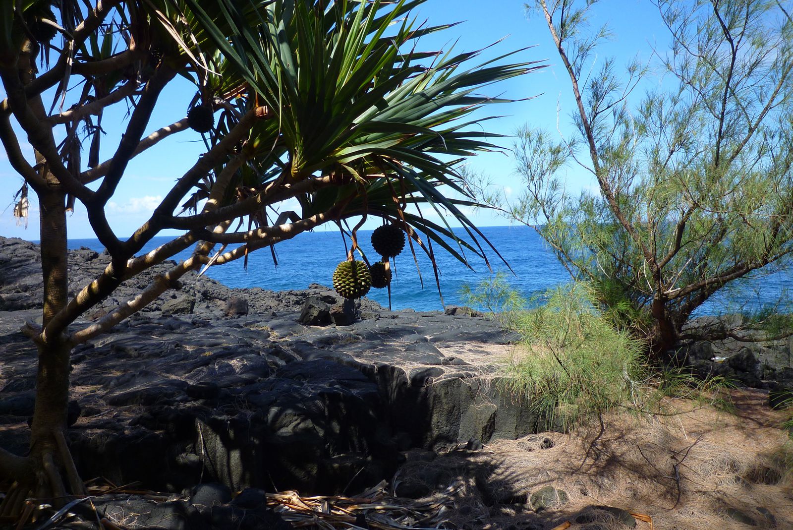
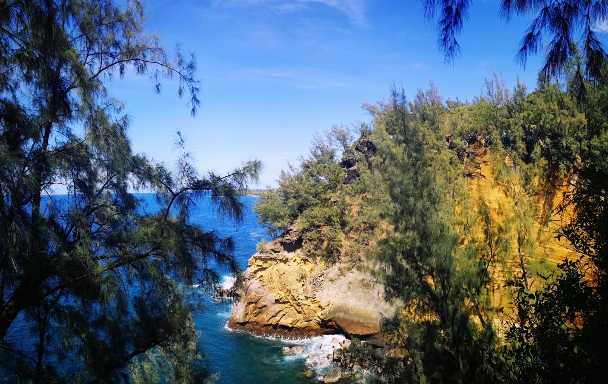
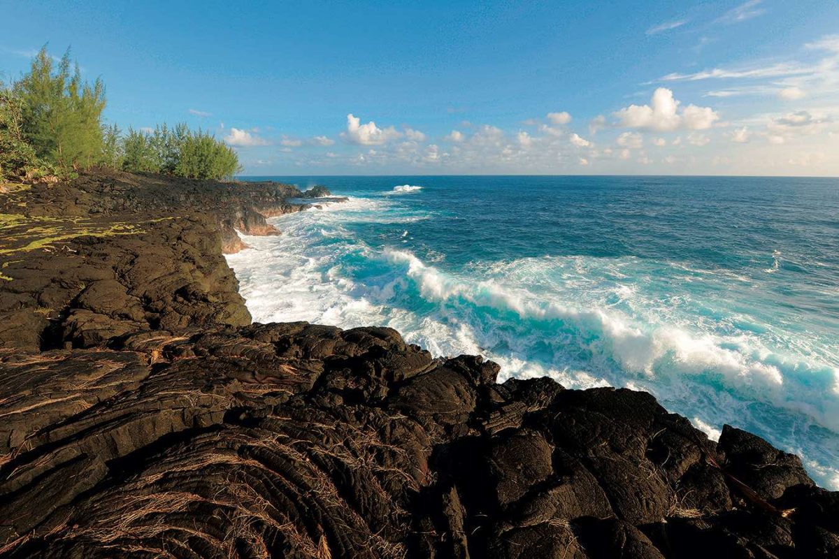
Walk on a cape formed by a lava flow in 1986, which allowed the island to expand.

Already more than 200,000 users!
Uphill
33m
Highest point
38m
Downhill
33m
Lowest point
0m
Route type
Loop
Download the map on your smartphone to save battery and rest assured to always keep access to the route, even without signal.
Includes IGN France and Swisstopo.
I indicate whether dogs are allowed or prohibited on this trail
Difficult after heavy rains
0 ratings
Also enjoy:

Already more than 200,000 users!