Uphill
106m
Length
4km
Duration
1h30min
Elev gain
106m
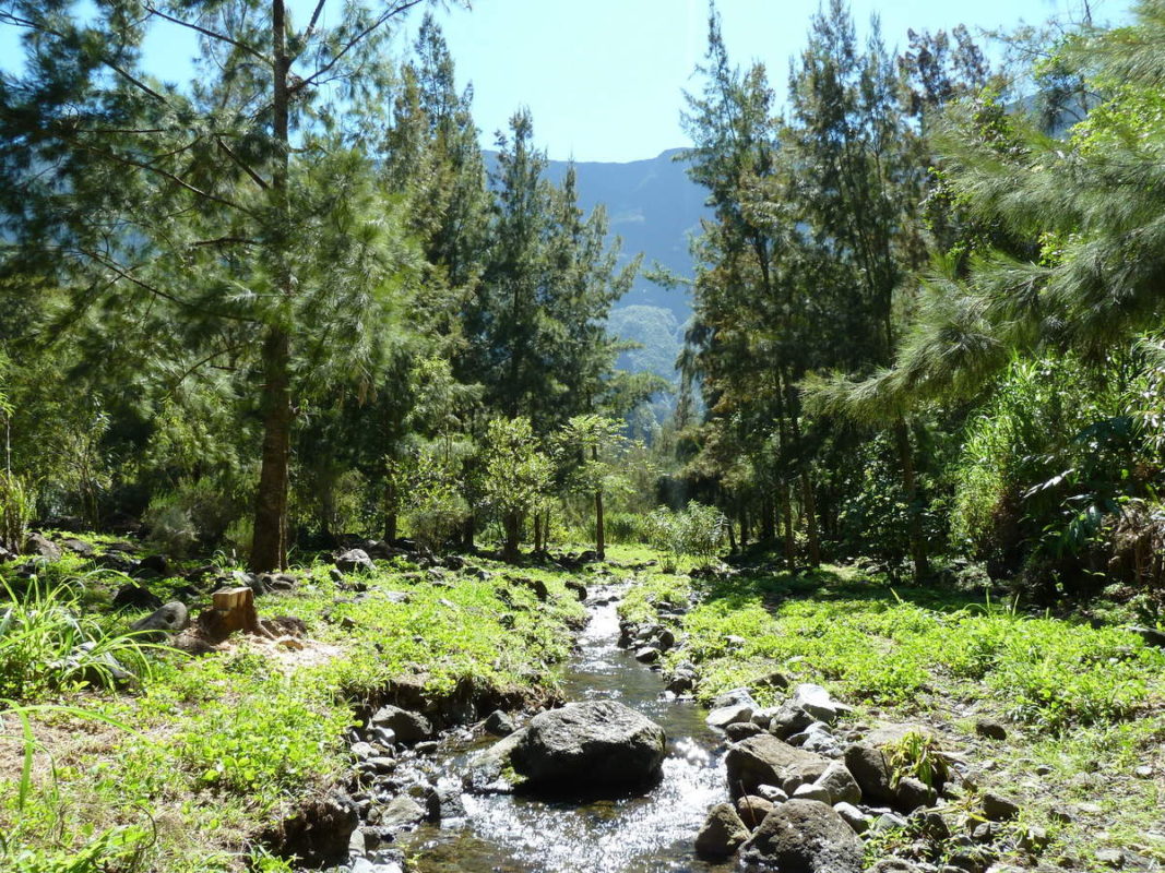
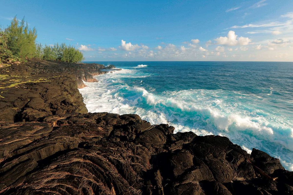
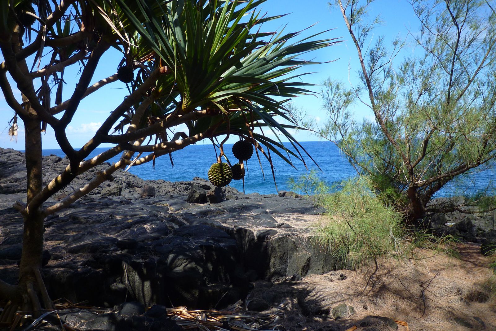
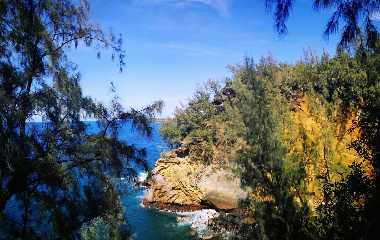
Nice family walk along the coast, on the way to Cap Jaune. At the foot of the Vincendo peak, this route is best at the end of the day in order to enjoy the sunset.

Already more than 200,000 users!
Uphill
106m
Highest point
103m
Downhill
106m
Lowest point
0m
Route type
There and back
Download the map on your smartphone to save battery and rest assured to always keep access to the route, even without signal.
Includes IGN France and Swisstopo.
I indicate whether dogs are allowed or prohibited on this trail
All year
4 ratings
Also enjoy:

Already more than 200,000 users!