Uphill
270m
Length
5km
Duration
2h
Elev gain
270m
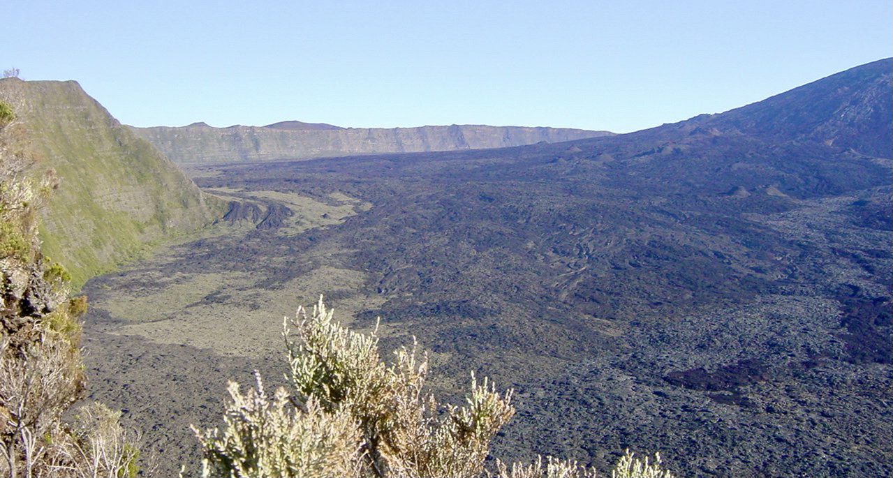
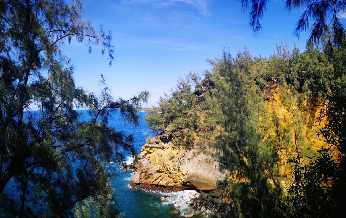
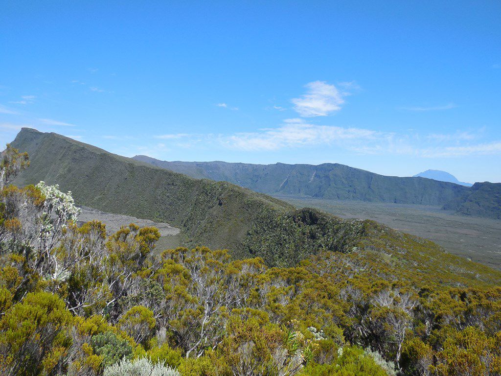
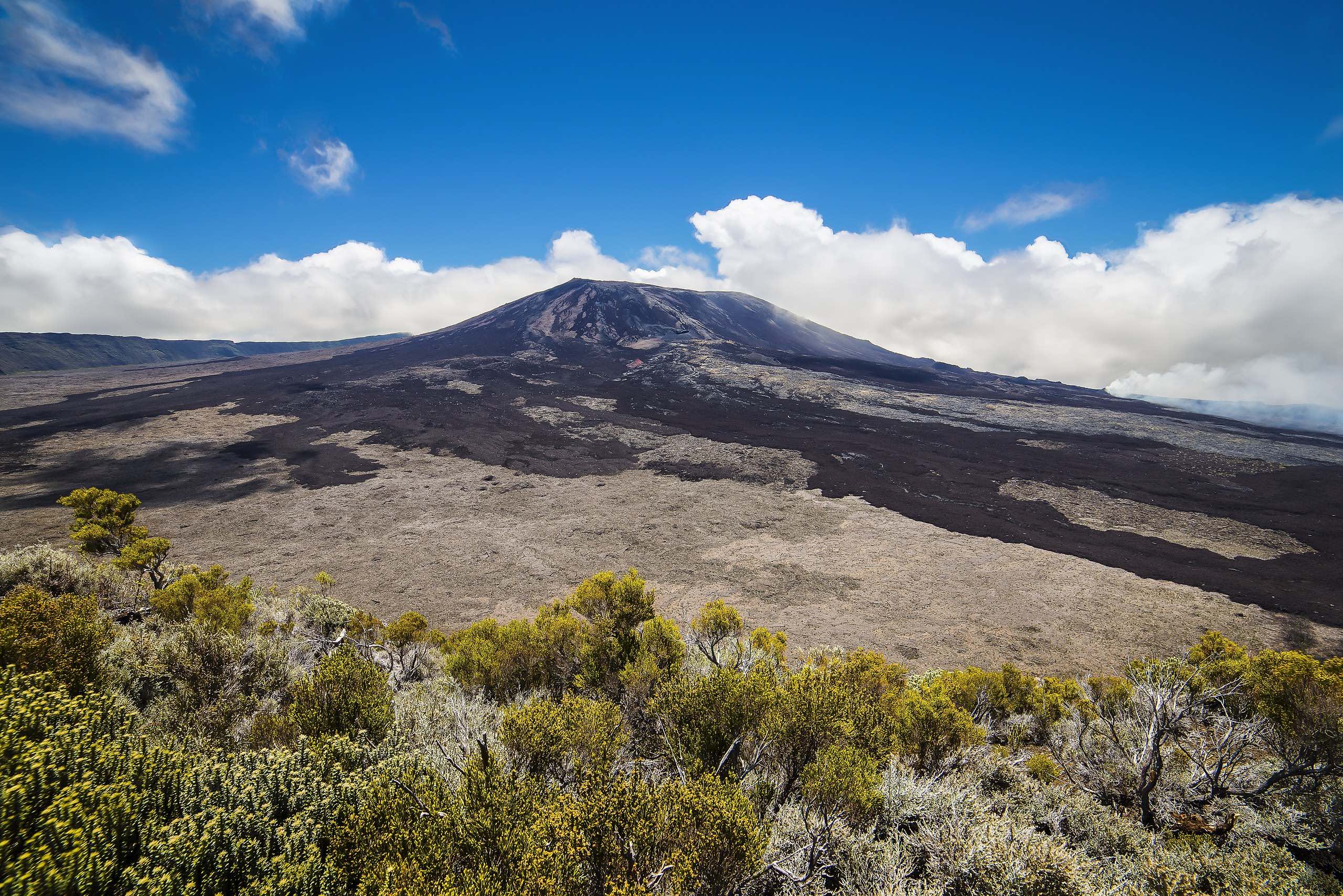
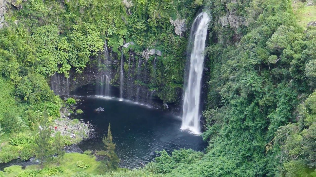
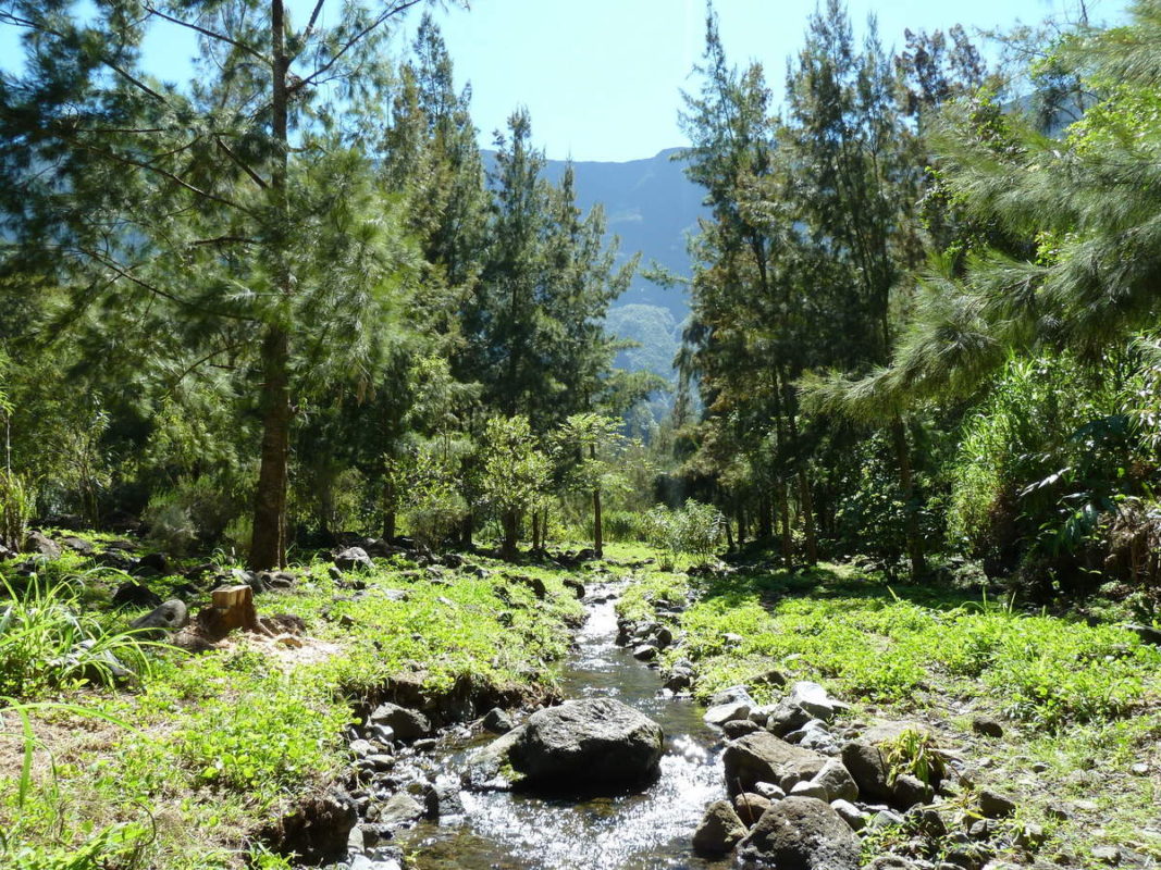
Here is a there and back trail leading to the pretty Cap Blanc waterfall. The trail runs along the Langevin River and takes place in a very pleasant wild environment.

Already more than 200,000 users!
Uphill
270m
Highest point
845m
Downhill
270m
Lowest point
593m
Route type
There and back
Download the map on your smartphone to save battery and rest assured to always keep access to the route, even without signal.
Includes IGN France and Swisstopo.
I indicate whether dogs are allowed or prohibited on this trail
Difficult after heavy rains
4 ratings
Très caillouteux, mais simple. On longe la canalisation
Fait le dimanche 8/10/23 avec un groupe de jeunes enfants. Tout c’est bien passé, même la plus jeune de 5 ans a tout fait sans être portée.
Belle balade. On a mis 3h aller-retour, et ça fait environ 10km.
Also enjoy:

Already more than 200,000 users!