Uphill
314m
Length
8km
Duration
3h
Elev gain
314m
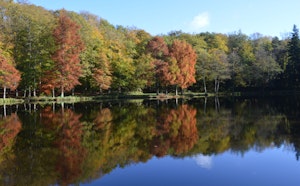
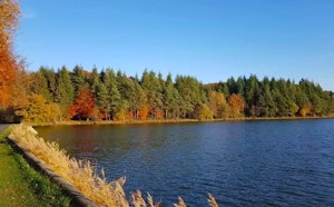
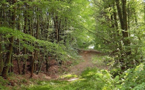
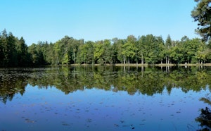
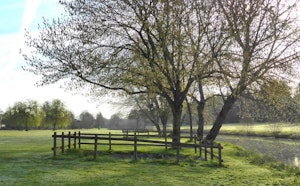
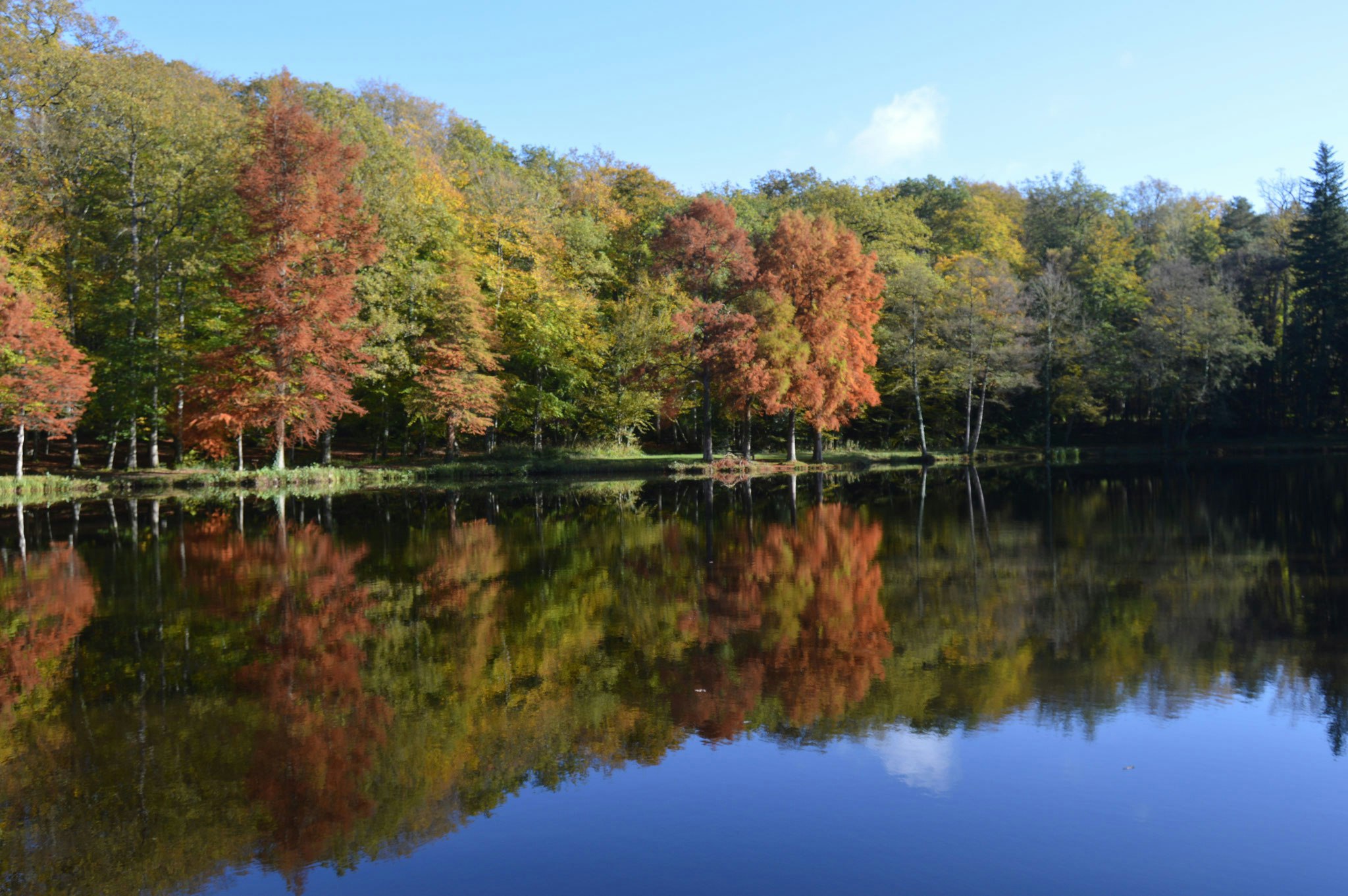
Nice walk in the heart of the Bellême forest. The trail starts at the Herse pond then loops through La Baudonnière before returning to the starting point.
Note, picnic tables are set up near the pond, so it is possible to take a short break to eat.

Already more than 200,000 users!
Uphill
314m
Highest point
286m
Downhill
314m
Lowest point
123m
Route type
Loop
Download the map on your smartphone to save battery and rest assured to always keep access to the route, even without signal.
Includes IGN France and Swisstopo.
I indicate whether dogs are allowed or prohibited on this trail
All year
0 ratings
Also enjoy:

Already more than 200,000 users!