Uphill
422m
Length
20km
Duration
6h
Elev gain
422m
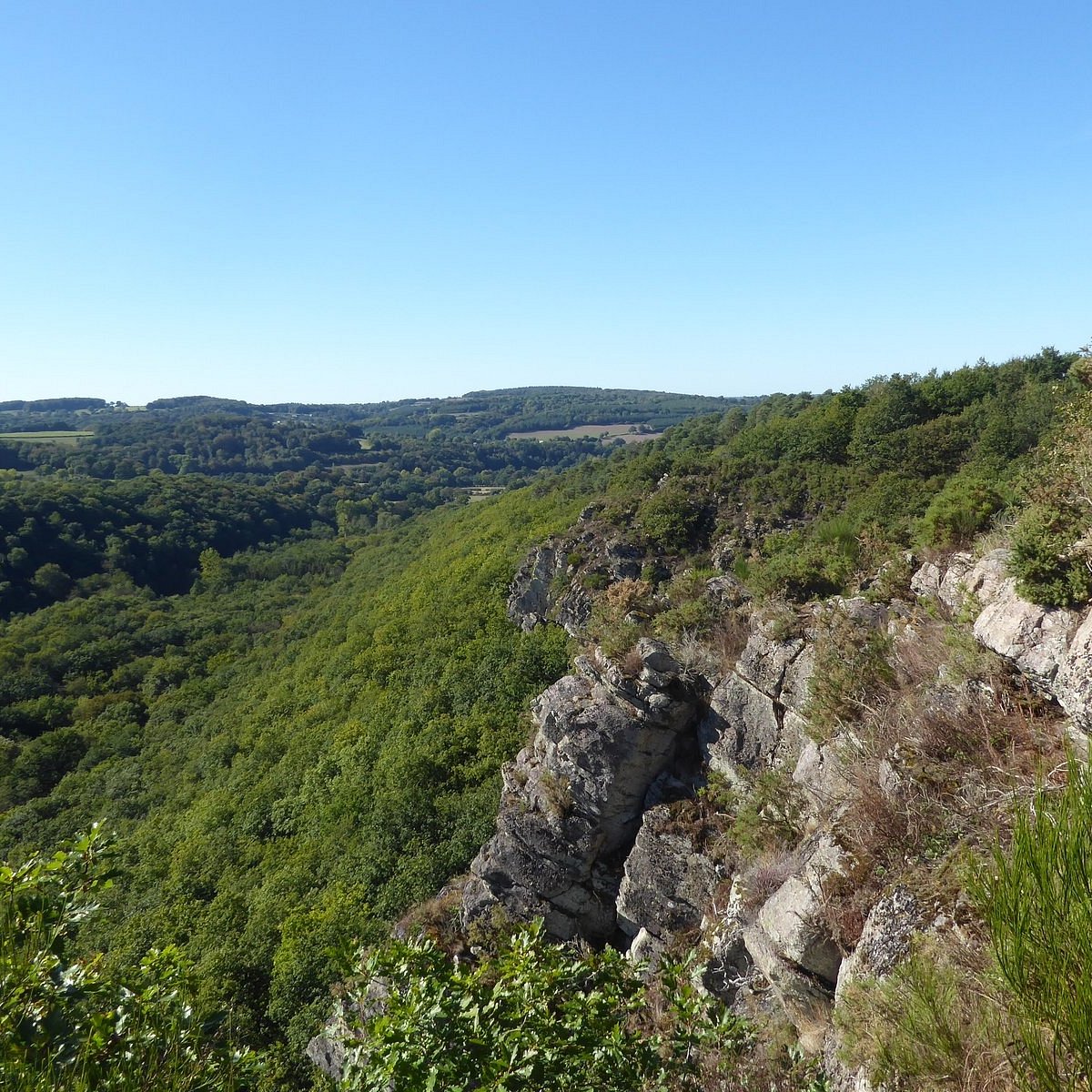
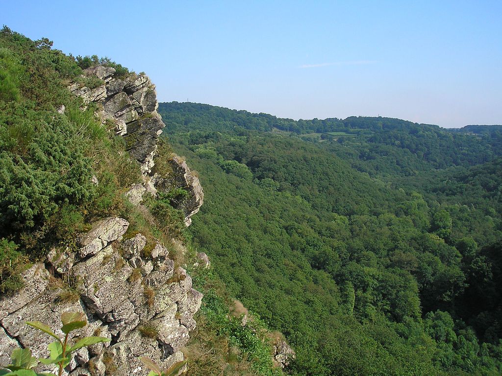
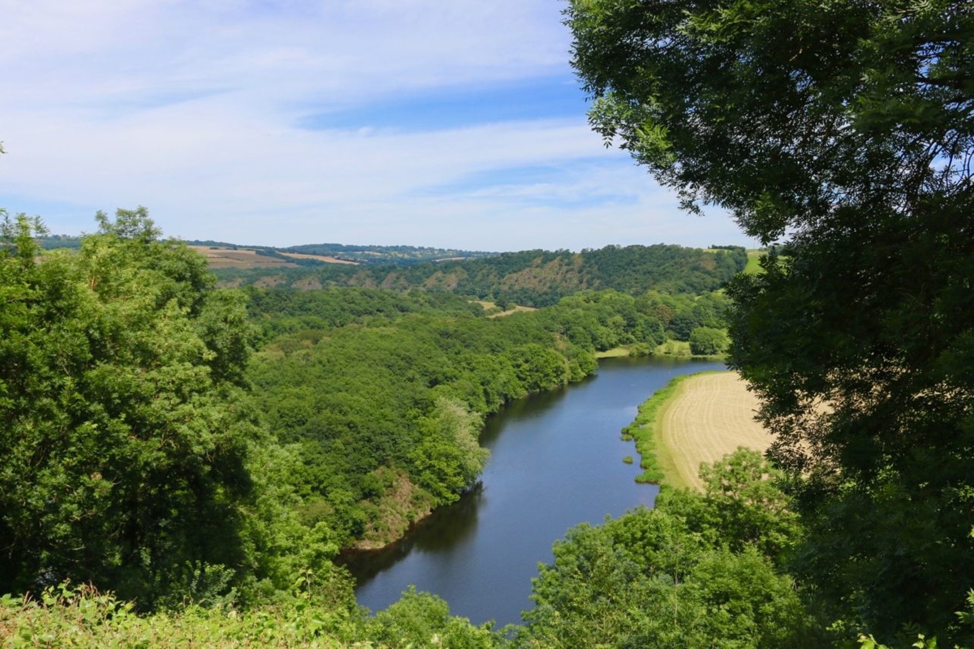
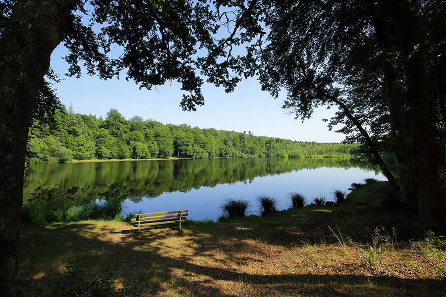
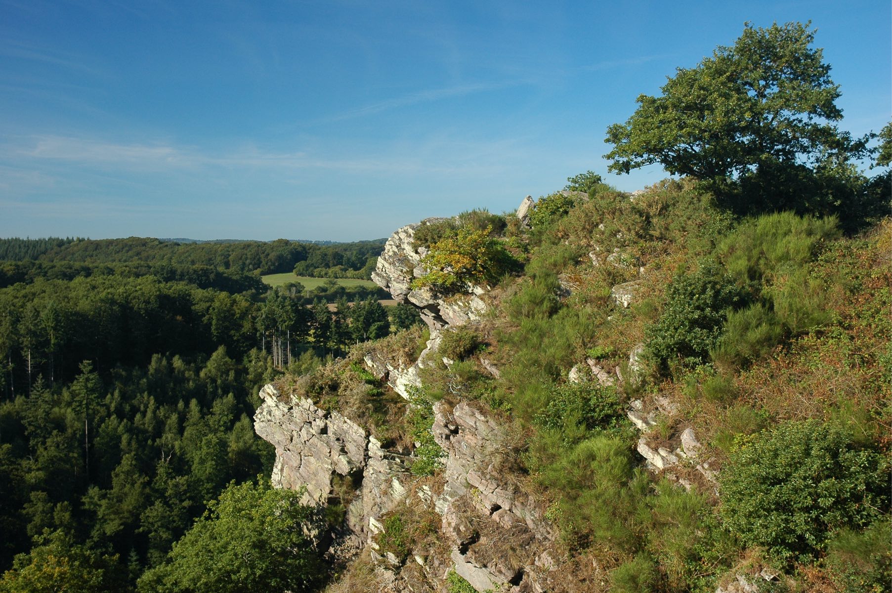
This hike begins at the Roche d'Oëtre site, a natural belvedere located in the heart of Norman Switzerland. It continues between hills and undergrowth, as well as along rivers - the Orne and the Rouvre.

Already more than 200,000 users!
Uphill
422m
Highest point
238m
Downhill
422m
Lowest point
41m
Route type
Loop
Download the map on your smartphone to save battery and rest assured to always keep access to the route, even without signal.
Includes IGN France and Swisstopo.
I indicate whether dogs are allowed or prohibited on this trail
All year
0 ratings
Also enjoy:

Already more than 200,000 users!