Uphill
100m

Length
2km
Duration
1h
Elev gain
100m
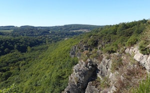
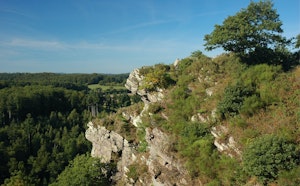
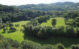
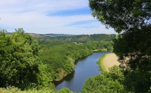
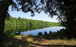
Here is a very nice variant of the long courses in the area. This short route makes a loop around the famous rock of Oëtre, which offers a superb view of the surroundings.
Possibility to eat at the start of the walk.

Already more than 200,000 users!
Uphill
100m
Highest point
154m
Downhill
100m
Lowest point
72m
Route type
Loop
Download the map on your smartphone to save battery and rest assured to always keep access to the route, even without signal.
Includes IGN France and Swisstopo.
I indicate whether dogs are allowed or prohibited on this trail
All year
0 ratings
Also enjoy:

Already more than 200,000 users!