Uphill
230m

Length
14km
Duration
4h
Elev gain
230m
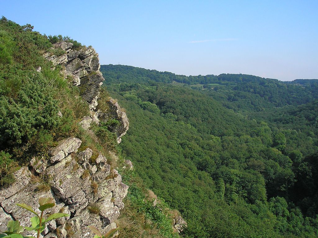
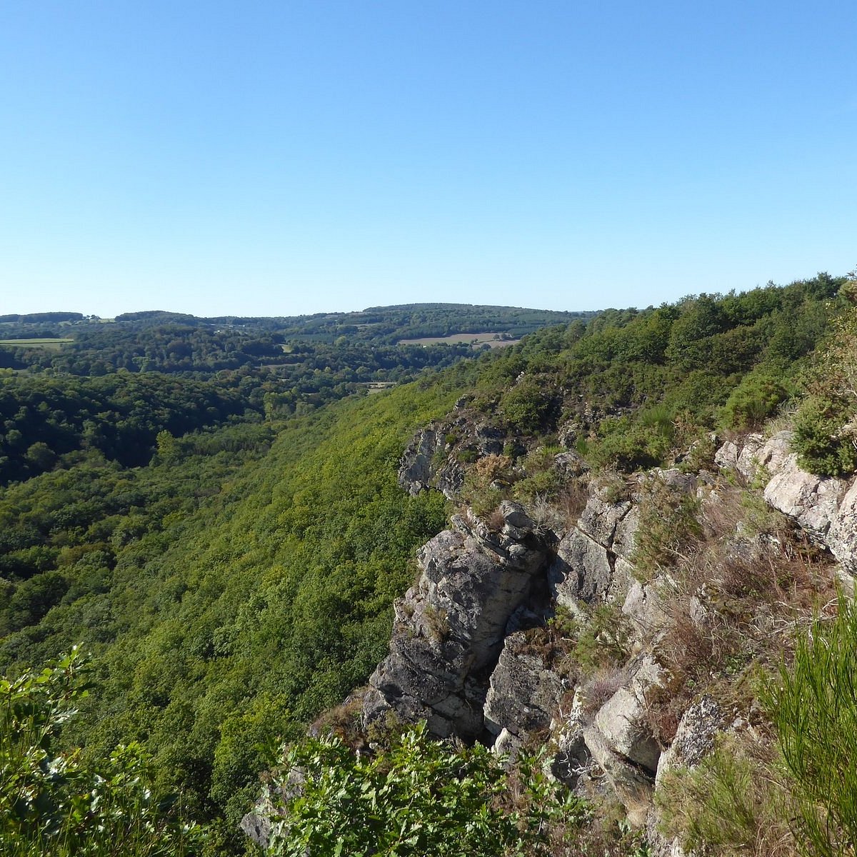
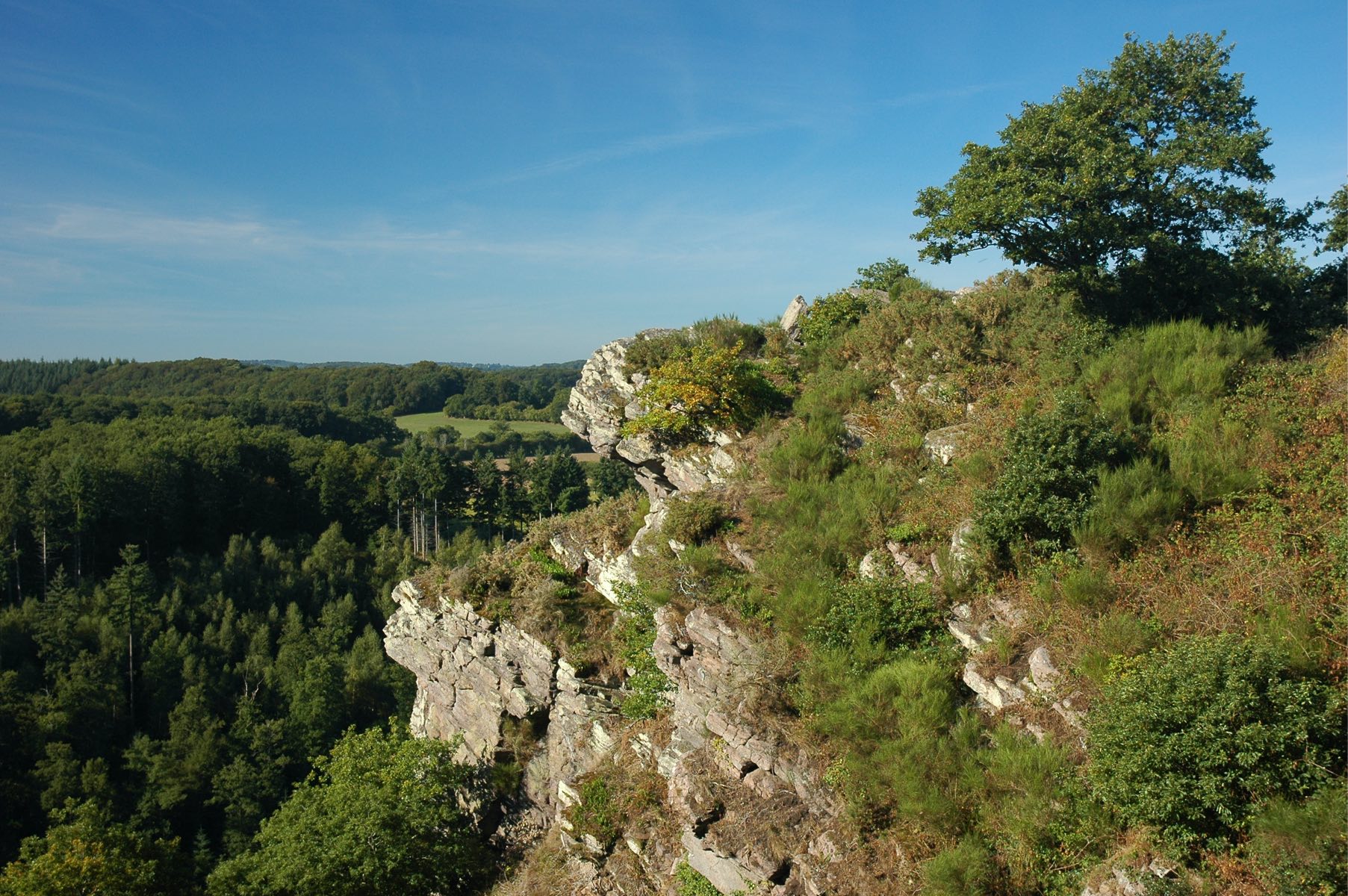
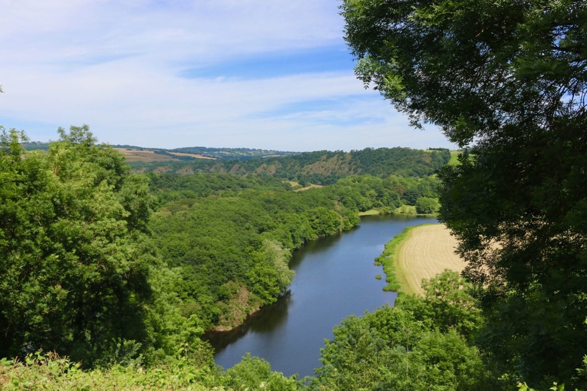
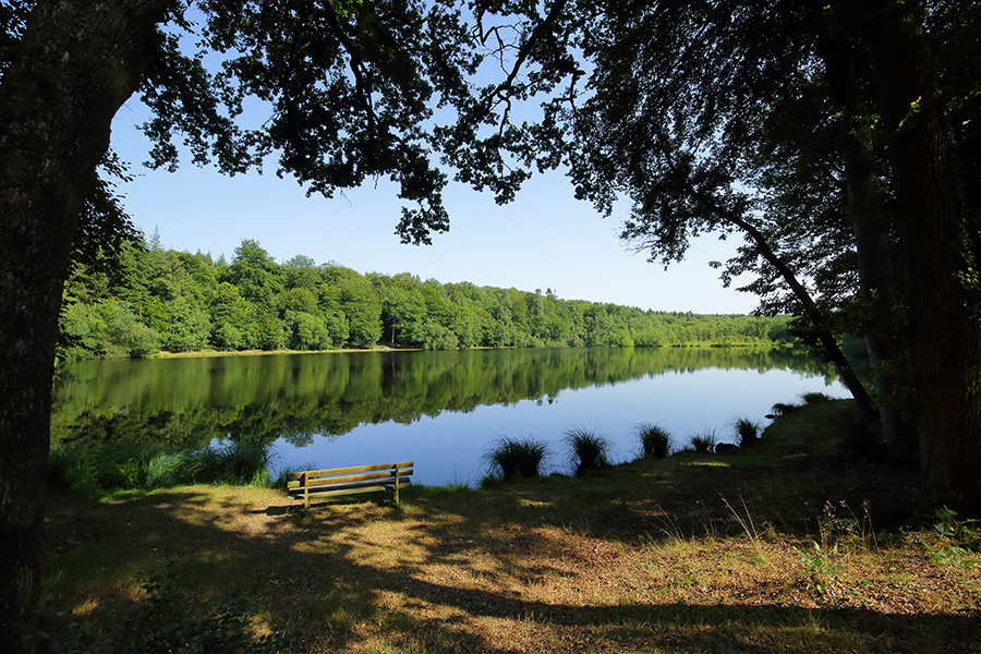
Here is a superb relatively long hike that will satisfy more than one. The route makes a loop at the rhythm of the water, along the Rouvre, and presents some technical passages, all in a diverse and varied landscape.

Already more than 200,000 users!
Uphill
230m
Highest point
215m
Downhill
230m
Lowest point
47m
Route type
Loop
Download the map on your smartphone to save battery and rest assured to always keep access to the route, even without signal.
Includes IGN France and Swisstopo.
I indicate whether dogs are allowed or prohibited on this trail
All year
0 ratings
Also enjoy:

Already more than 200,000 users!