Uphill
156m

Length
9km
Duration
2h30min
Elev gain
156m
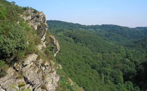
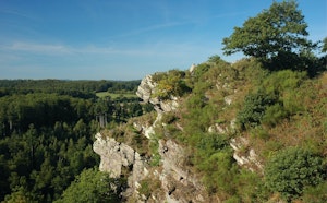
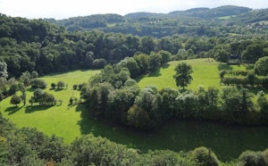
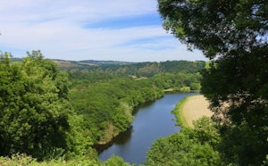
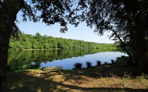
This is a pretty, relatively technical hike. The route follows the Roche d'Oëtre granite path and offers superb landscapes. At the end of the route, this hike offers the possibility of having something to eat.

Already more than 200,000 users!
Uphill
156m
Highest point
215m
Downhill
156m
Lowest point
77m
Route type
Loop
Download the map on your smartphone to save battery and rest assured to always keep access to the route, even without signal.
Includes IGN France and Swisstopo.
I indicate whether dogs are allowed or prohibited on this trail
All year
2 ratings
Also enjoy:

Already more than 200,000 users!