Uphill
165m
Length
10km
Duration
3h
Elev gain
165m
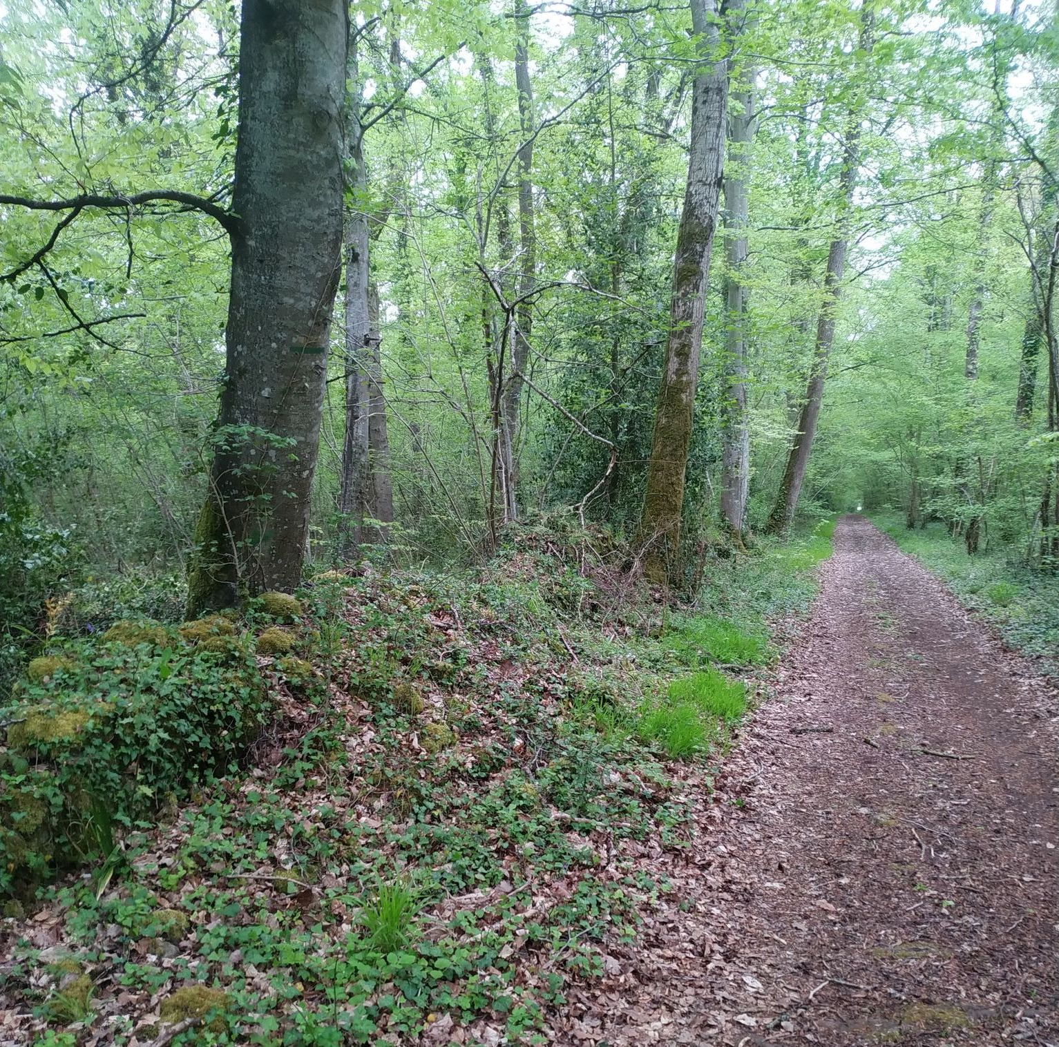
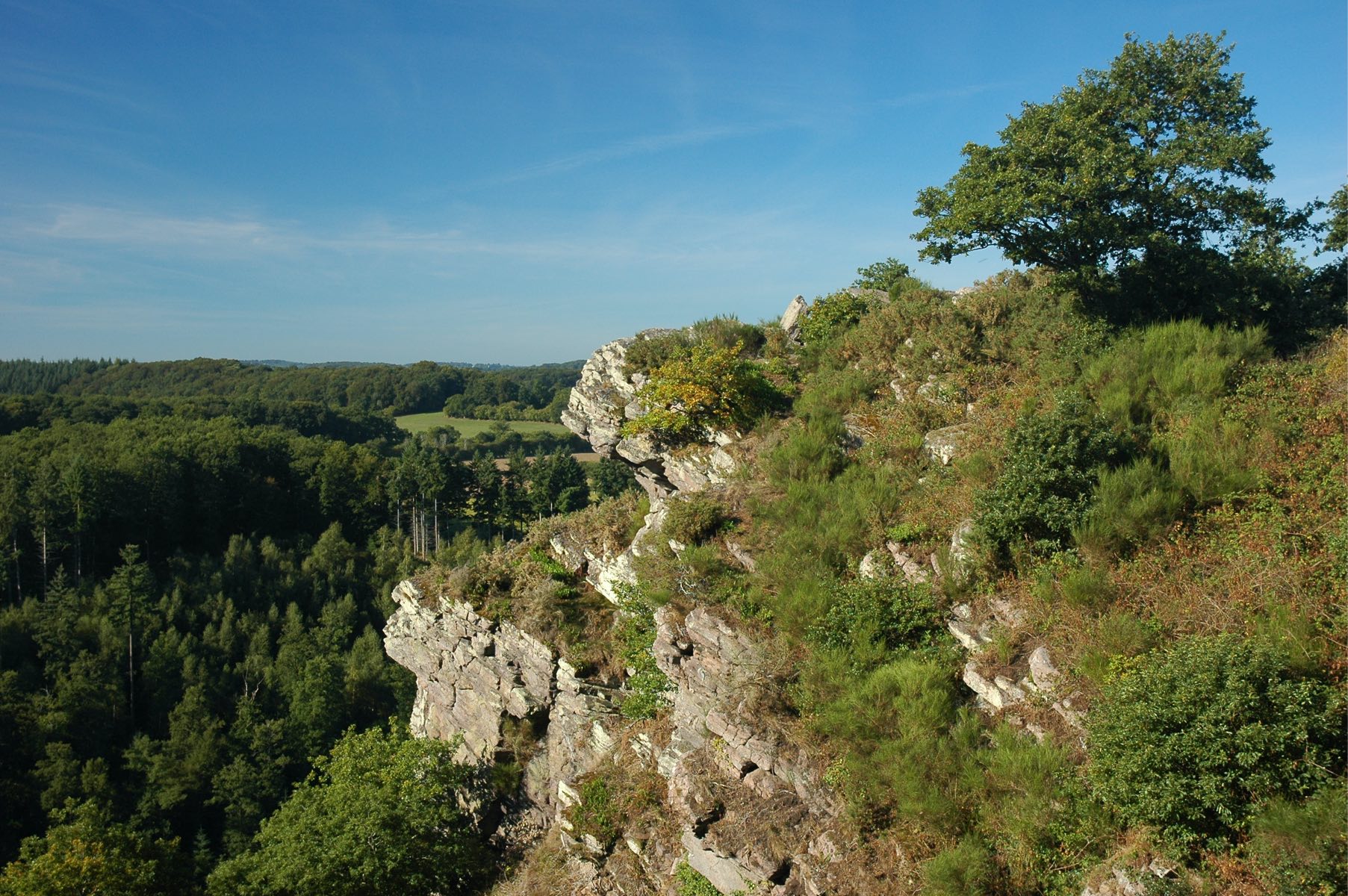
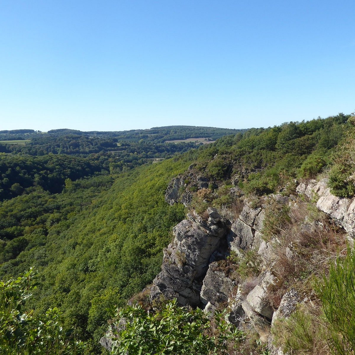
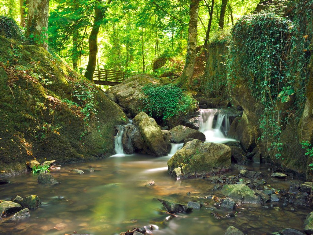
This path from Potigny makes a loop around the Laizon, through woods and fields. The route passes through the Brèche au Diable, a steep site used in particular for climbing.

Already more than 200,000 users!
Uphill
165m
Highest point
171m
Downhill
165m
Lowest point
83m
Route type
Loop
Download the map on your smartphone to save battery and rest assured to always keep access to the route, even without signal.
Includes IGN France and Swisstopo.
I indicate whether dogs are allowed or prohibited on this trail
All year
0 ratings
Also enjoy:

Already more than 200,000 users!