Uphill
544m
Length
16km
Duration
5h30min
Elev gain
544m
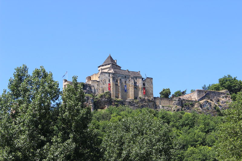
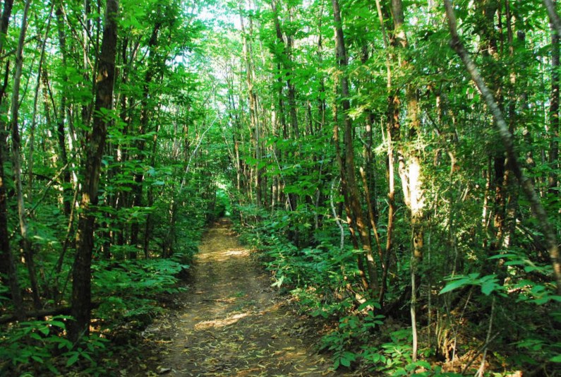
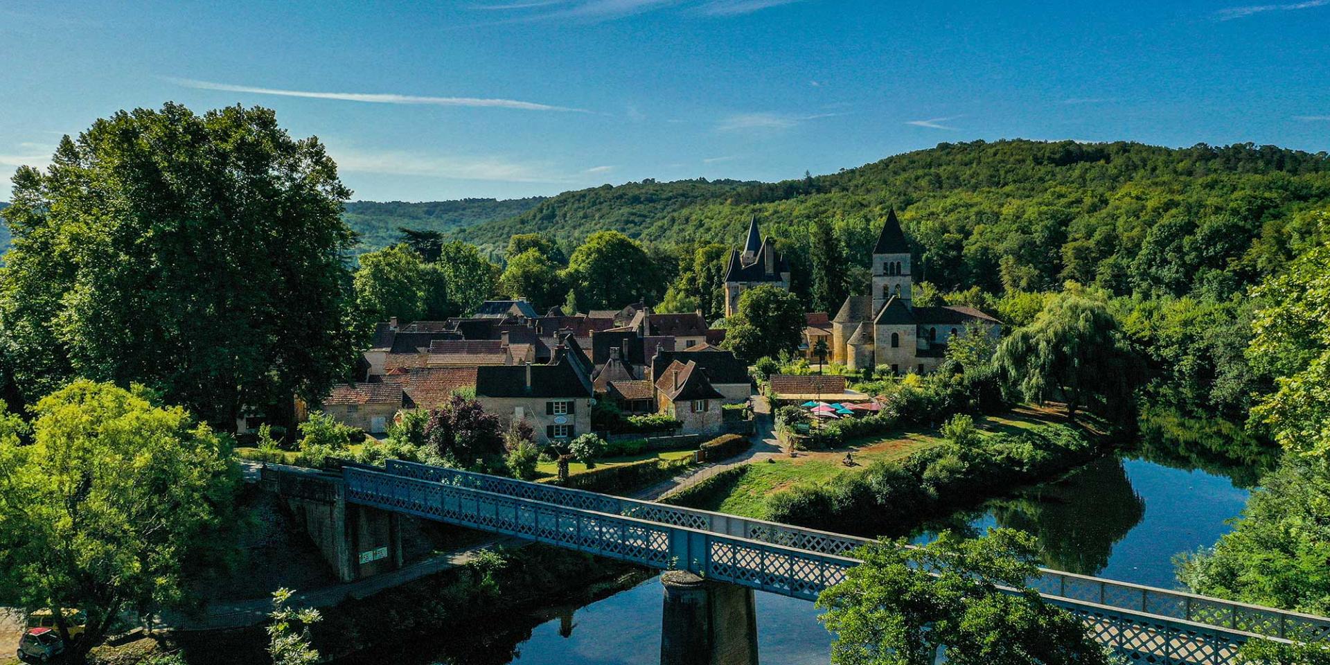
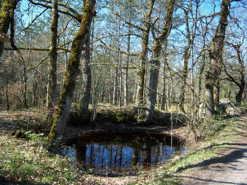
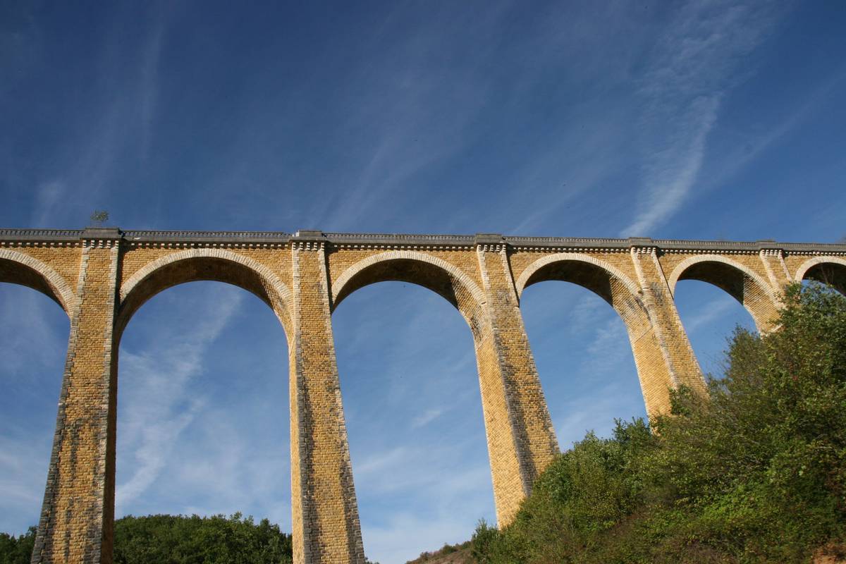
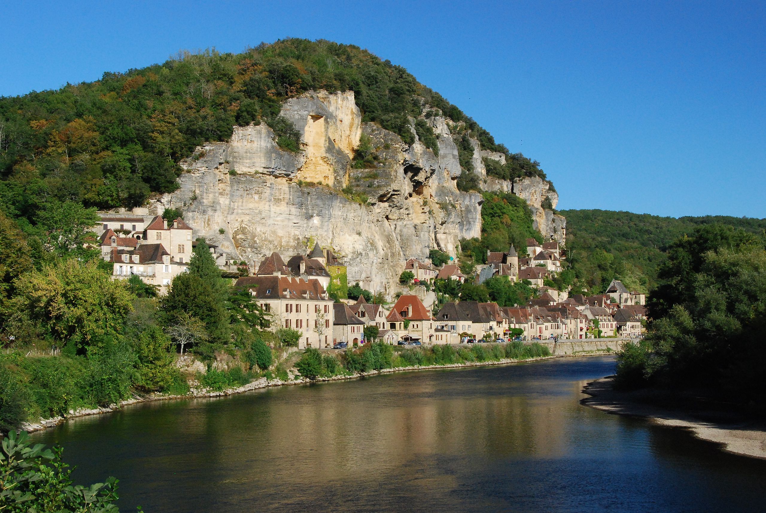
Varied hike between forests, meadows and the village of Roque-Gageac. Nice views over the Dordogne.

Already more than 200,000 users!
Uphill
544m
Highest point
243m
Downhill
544m
Lowest point
62m
Route type
Loop
Download the map on your smartphone to save battery and rest assured to always keep access to the route, even without signal.
Includes IGN France and Swisstopo.
I indicate whether dogs are allowed or prohibited on this trail
All year
0 ratings
Also enjoy:

Already more than 200,000 users!