Uphill
269m

Length
13km
Duration
4h
Elev gain
269m
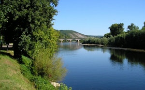
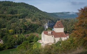
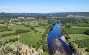
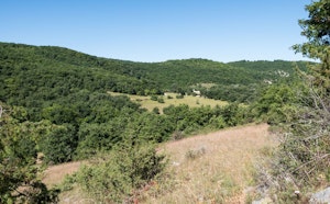
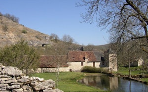
Here is a nice hike at the gates of Souillac. This loop course, sometimes in valley, sometimes on the ridge, goes to the discovery of viadus. These were built between 1880 and 1890 for the Paris-Orléans railway line, which at the time wanted to extend to Limoges and then Toulouse. In short, a great course marked by works of art testifying to great technical and aesthetic achievements.

Already more than 200,000 users!
Uphill
269m
Highest point
311m
Downhill
269m
Lowest point
83m
Route type
Loop
Download the map on your smartphone to save battery and rest assured to always keep access to the route, even without signal.
Includes IGN France and Swisstopo.
I indicate whether dogs are allowed or prohibited on this trail
All year
0 ratings
Also enjoy:

Already more than 200,000 users!